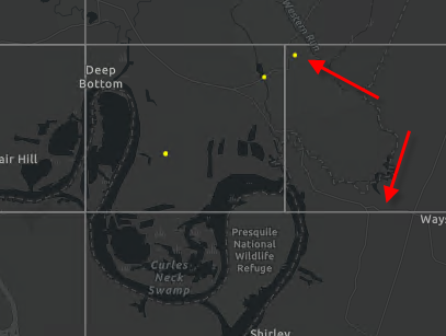
I have an app that searches for a particular species from a point file
Once found it creates graphics for the point locations and grid polygons that encompass those points.
What I want to do now is symbolize those polygons based on how many points are found within them. I am not sure how to approach this. I think I would have to read through each polygon and determine how many points are in there and set the symbology?
So the result would be a graphics layer of polygons of varying color based on how many points are within them
Anyone have any ideas?