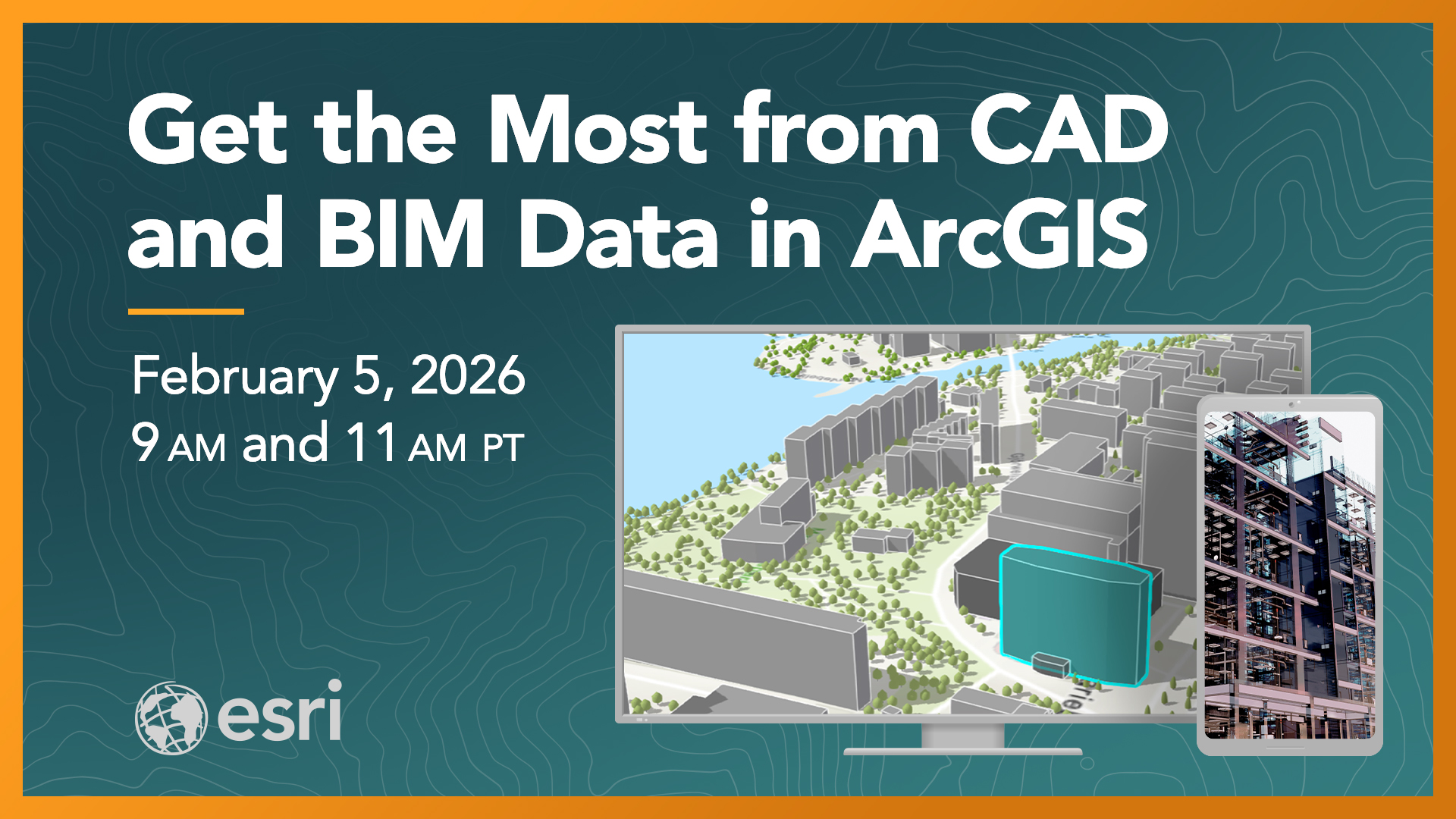
Seamless integration for smarter workflows.
Join our next free live training seminar on February 5, 2026, to learn common use cases and best practices for using CAD and BIM data in ArcGIS and how GIS data enriches CAD and BIM workflows.
Save Your Spot →
Goals
- Discover the unique characteristics and formats of CAD and BIM data and commonly integrated GIS workflows.
- Explore the high-level workflows to efficiently ingest CAD and BIM data into ArcGIS, and share GIS data with CAD users and systems.
- Enrich CAD data with location context using your organization’s authoritative GIS data and ArcGIS Living Atlas of the World content.
- Discover how you can streamline field data collection workflows by leveraging CAD data, GIS data, and ArcGIS content in mobile apps.
Seminar Details:
Two, one-hour sessions will be broadcast live, and each session includes demos and Q&A with the presenters. You can view more details and get a calendar reminder at the link below.
- Date: Thursday, February 5, 2026
- Time: 9:00 a.m. and 11:00 a.m. Pacific time
- Location: Online at Esri Academy
- Cost: $0 (No-cost)
Register →
