- Home
- :
- All Communities
- :
- Products
- :
- ArcGIS Image Analyst
- :
- ArcGIS Image Analyst Questions
- :
- Mystery Auto-Generated Vegetation While Using Deep...
- Subscribe to RSS Feed
- Mark Topic as New
- Mark Topic as Read
- Float this Topic for Current User
- Bookmark
- Subscribe
- Mute
- Printer Friendly Page
Mystery Auto-Generated Vegetation While Using Deep Learning in ArcGIS Pro
- Mark as New
- Bookmark
- Subscribe
- Mute
- Subscribe to RSS Feed
- Permalink
- Report Inappropriate Content
Hello and good day to all
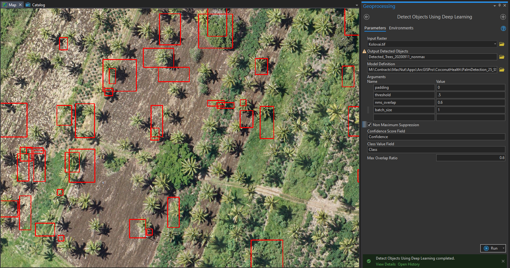
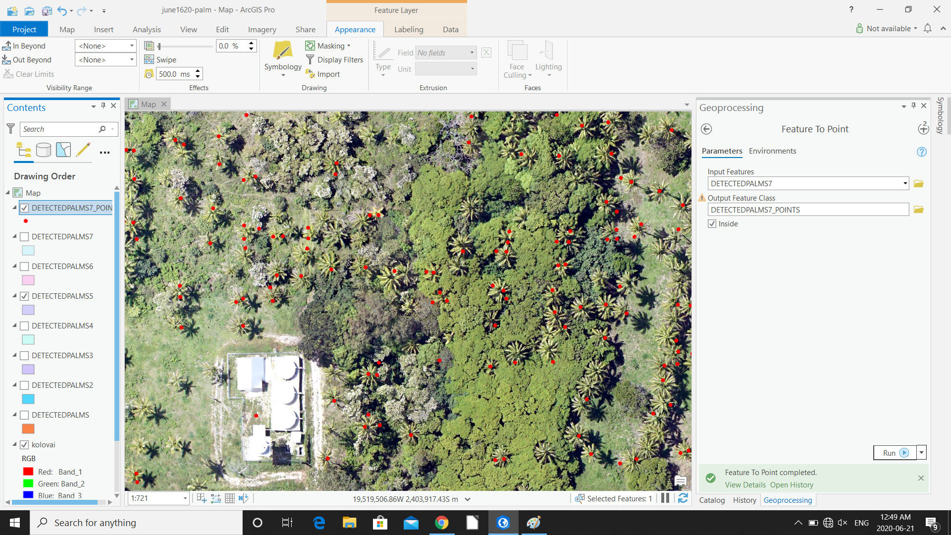
I was going through Deep Learning to locate the Palms in Tonga course, and when I turned off aerial imagery layer I noticed that arcgis populated the basemap with "trees"... many of them are where there are palms in the image, but not all, and I managed to detect most of them with my model, and they definitely weren't created by the deep learning model, but what the heck are they?
I can't select or query them, they seem to just be an auto-populated canopy against the basemap...
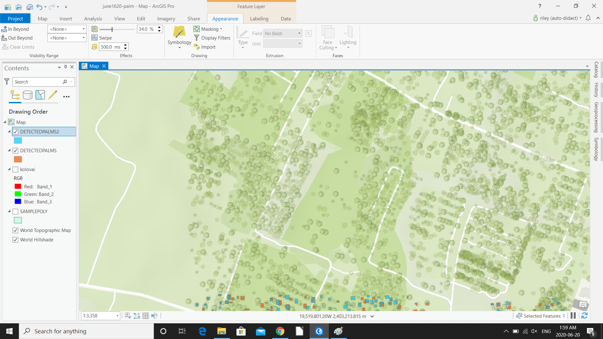
By the way, the are only sitting where the imagery layer was sitting(pic 3 shows this). Not above or below. They disappear somewhere around 1:4000. They are more accurate in some cases than my model, could be useful to use them!
Anyone have any ideas?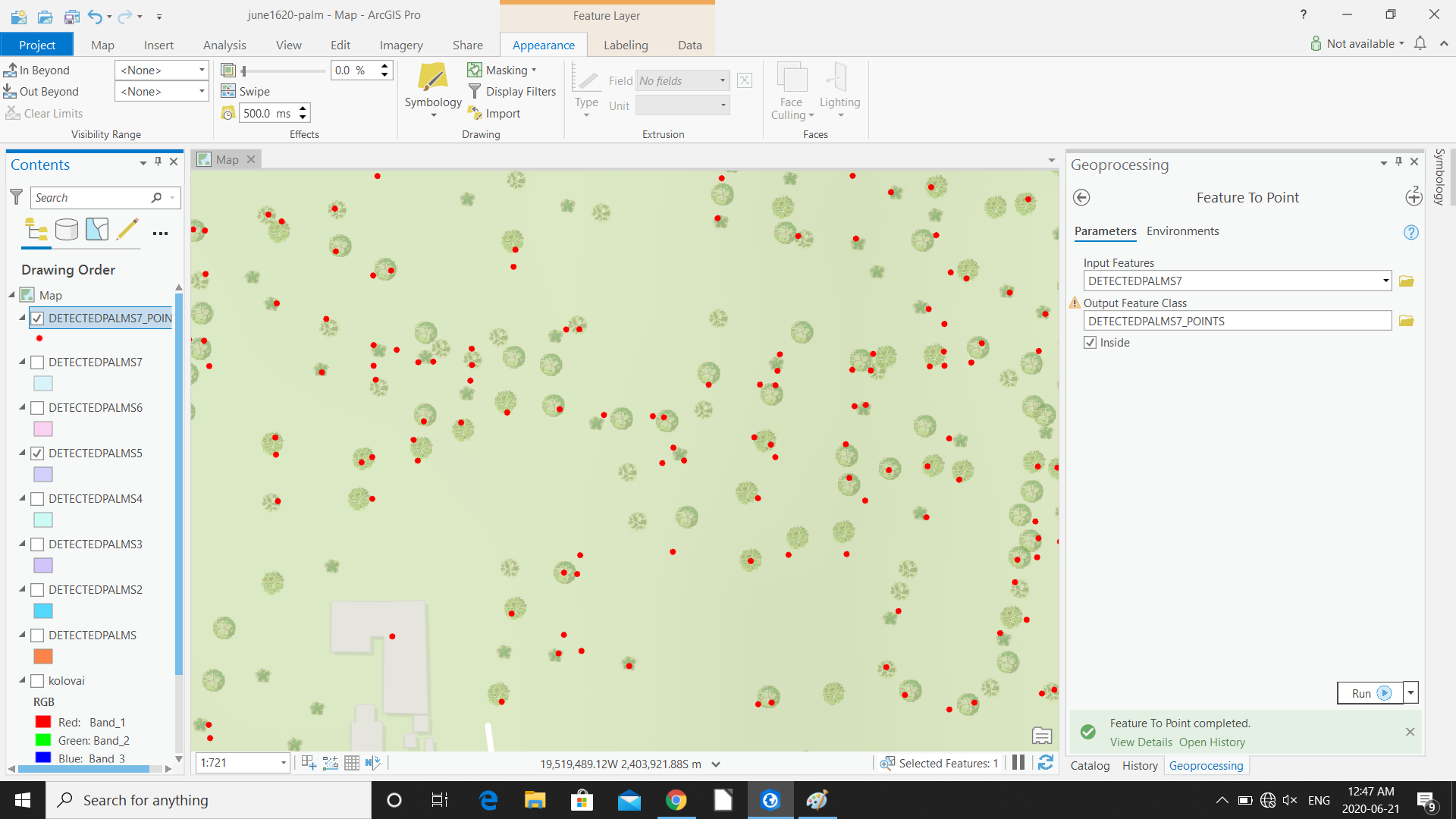
- Mark as New
- Bookmark
- Subscribe
- Mute
- Subscribe to RSS Feed
- Permalink
- Report Inappropriate Content
I'm curious to know how you tweaked the settings to even get a somewhat decent result. I've tried a bunch of different variations and the model is almost useless. I was meticulous with the training samples but the performance is bad. See attached results using the default settings in the tutorial.