Turn on suggestions
Auto-suggest helps you quickly narrow down your search results by suggesting possible matches as you type.
Cancel
- Home
- :
- All Communities
- :
- Products
- :
- ArcGIS for AutoCAD
- :
- ArcGIS for AutoCAD Questions
- :
- EsriMap World Imagery in AutoCAD
Options
- Subscribe to RSS Feed
- Mark Topic as New
- Mark Topic as Read
- Float this Topic for Current User
- Bookmark
- Subscribe
- Mute
- Printer Friendly Page
EsriMap World Imagery in AutoCAD
Subscribe
611
1
08-21-2019 03:25 PM
08-21-2019
03:25 PM
- Mark as New
- Bookmark
- Subscribe
- Mute
- Subscribe to RSS Feed
- Permalink
- Report Inappropriate Content
Hi everybody 
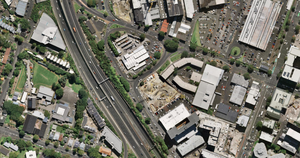
I loaded EsriMaps World Imagery in AutoCAD Drawing and noticed slight distortion. Looks like loaded image is a bit skewed.
How do you think what can cause this distortion and what can I do to fix it?
Thank you,
Anna
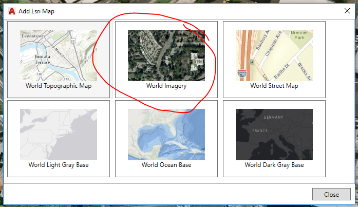
ArcGIS map in AutoCAD:

Local council GIS Viewer:
1 Reply
by
Anonymous User
Not applicable
09-13-2019
03:17 PM
- Mark as New
- Bookmark
- Subscribe
- Mute
- Subscribe to RSS Feed
- Permalink
- Report Inappropriate Content
Anna, are the coordinate systems the same between AFA and the GIS Viewer? This to me sounds like a re-projection is happening.