- Home
- :
- All Communities
- :
- Products
- :
- ArcGIS Online
- :
- ArcGIS Online Questions
- :
- How to improve performance of large datasets
- Subscribe to RSS Feed
- Mark Topic as New
- Mark Topic as Read
- Float this Topic for Current User
- Bookmark
- Subscribe
- Mute
- Printer Friendly Page
How to improve performance of large datasets
- Mark as New
- Bookmark
- Subscribe
- Mute
- Subscribe to RSS Feed
- Permalink
- Report Inappropriate Content
Hello,
We have a PLSS(sections & ranges) layer for the entire US. It's roughly around 2 million features. Every time we bring in this layer it slows down the entire MXD and lags a lot. I know it's this layer because when I turn it off the mxd performs a lot faster. I did some research and I found a few tricks but none work:
- Export your shapefile to a file geodatabase feature class - Already a filegeodatabase.
- If you are using ArcGIS Desktop 10.0 or later move it into a Basemap Layer - Doesn't really improve performance
What else is there to do, besides breaking it up?
I sometimes use the map service below, which is ALOT quicker.
https://gis.blm.gov/arcgis/rest/services/Cadastral/BLM_Natl_PLSS_CadNSDI/MapServer
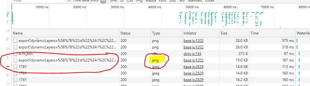
How do I get my layer to run as fast as the map server. I can see that its a png file that it references.
Does this mean the data is in a raster format?
I tired Polygon to Raster but then it cant use labels and the symbology doesn't work well.
What am I missing here?
Thanks,
Adam
- Mark as New
- Bookmark
- Subscribe
- Mute
- Subscribe to RSS Feed
- Permalink
- Report Inappropriate Content
Does this question should be in the ArcGIS online?
I understand it is slow in Desktop not in web.
The first thing is to "Compress" the FGDB (makes it read only but this layer does not update very often).
The second thing is to put it local on the client machine (It should not be too big) or at least on shared SSD disk.
Have fun
Mody