- Home
- :
- All Communities
- :
- Products
- :
- ArcGIS Pro
- :
- ArcGIS Pro Questions
- :
- ArcGIS Pro: Labels to Annotation on Rotated Map No...
- Subscribe to RSS Feed
- Mark Topic as New
- Mark Topic as Read
- Float this Topic for Current User
- Bookmark
- Subscribe
- Mute
- Printer Friendly Page
ArcGIS Pro: Labels to Annotation on Rotated Map Not Using Rotated Extent?
- Mark as New
- Bookmark
- Subscribe
- Mute
- Subscribe to RSS Feed
- Permalink
- Report Inappropriate Content
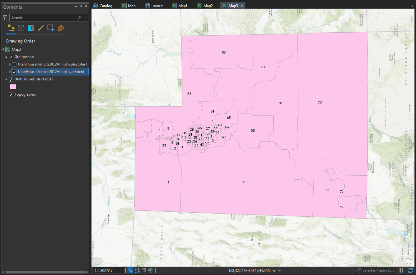
Has anyone else run into issues converting labels to annotation with a rotated map? If I take a feature class that is "tall" North-South, rotate the map 90 degrees, set a reference scale, label the features, and then convert those labels to annotation using the "Same as Layer" extent with the same conversion scale, the labels on the left and right of the rotated feature class (north and south edges) are not included in the annotation.
The extent numbers that are populated in the geoprocessing pane are correct, but it's as if these numbers don't get rotated properly when the labels are converted. If I select "Convert unplaced labels to unplaced annotation," the missing annotations are not listed as unplaced- House districts 3 and 4 at the very northern edge of the state (left side) in the example below are nowhere to be found in the annotation attribute table, though several smaller, unlabeled districts are included as "unplaced."
Utah State House Districts dataset, 2012 - 2021 House, Senate, School Board, and Congressional Districts. Note the missing districts 3, 4, 62 and 74 on the north and south (left and right) sides of the state, and how other labels near these are placed weird, as if they're trying to avoid an invisible edge:
However, if I use "Current Display Extent," it does convert the labels properly:

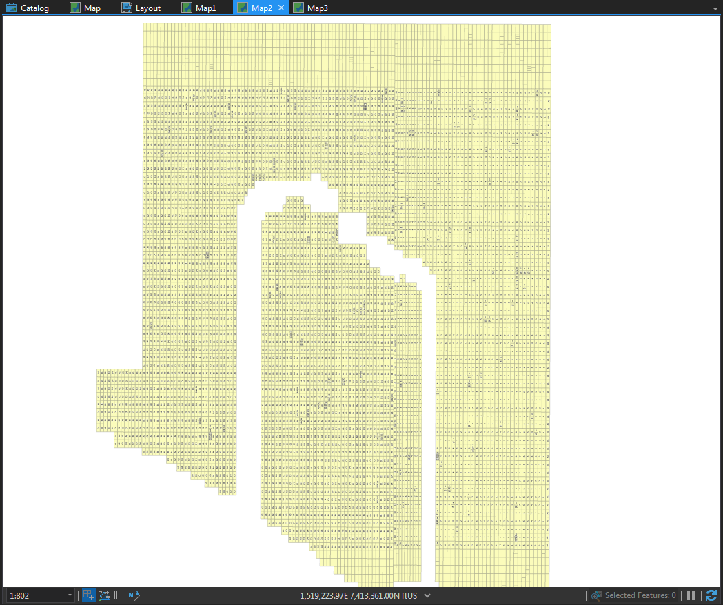
Same problem on an East-West feature class rotated 90 degrees, now the top and bottom feature labels are not converted to annotation:
Anyone else have this problem? Is this a subtle bug in the labeling to annotation tool?