- Home
- :
- All Communities
- :
- Products
- :
- ArcGIS Pro
- :
- ArcGIS Pro Questions
- :
- PLSS symbology and styles? From USGS?
- Subscribe to RSS Feed
- Mark Topic as New
- Mark Topic as Read
- Float this Topic for Current User
- Bookmark
- Subscribe
- Mute
- Printer Friendly Page
- Mark as New
- Bookmark
- Subscribe
- Mute
- Subscribe to RSS Feed
- Permalink
- Report Inappropriate Content
I couldn't find this posted anywhere. Is there a way to obtain the PLSS (Public Land Survey System) line styles and such that the USGS uses? I'm mostly referring to this document of topographic symbols:
https://pubs.usgs.gov/gip/TopographicMapSymbols/topomapsymbols.pdf
Small example:
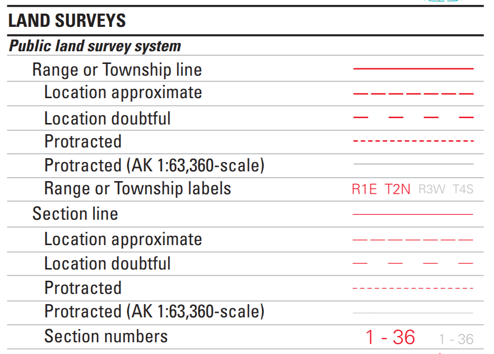
I mainly want to symbolize the Township and Range lines along with sections, quarter sections, and quarter quarter sections (40 acre lines). In ArcGIS Pro 2.3.1
Tagging Curtis Price PLSS Editing Federal
Solved! Go to Solution.
Accepted Solutions
- Mark as New
- Bookmark
- Subscribe
- Mute
- Subscribe to RSS Feed
- Permalink
- Report Inappropriate Content
There might be some goodies for you here. They were developed for ArcMap but you can probably import them to Pro.
- Mark as New
- Bookmark
- Subscribe
- Mute
- Subscribe to RSS Feed
- Permalink
- Report Inappropriate Content
There might be some goodies for you here. They were developed for ArcMap but you can probably import them to Pro.
- Mark as New
- Bookmark
- Subscribe
- Mute
- Subscribe to RSS Feed
- Permalink
- Report Inappropriate Content
That is what I was looking for! Well, it's a bit of a clunky work around but I can make it work.

Thanks Curtis!
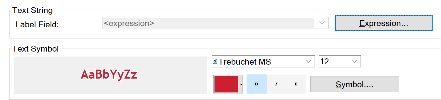
They even have labels with expressions!