- Home
- :
- All Communities
- :
- Products
- :
- ArcGIS Spatial Analyst
- :
- ArcGIS Spatial Analyst Questions
- :
- How to assign areas of raster intersecting with po...
- Subscribe to RSS Feed
- Mark Topic as New
- Mark Topic as Read
- Float this Topic for Current User
- Bookmark
- Subscribe
- Mute
- Printer Friendly Page
How to assign areas of raster intersecting with polygons
- Mark as New
- Bookmark
- Subscribe
- Mute
- Subscribe to RSS Feed
- Permalink
- Report Inappropriate Content
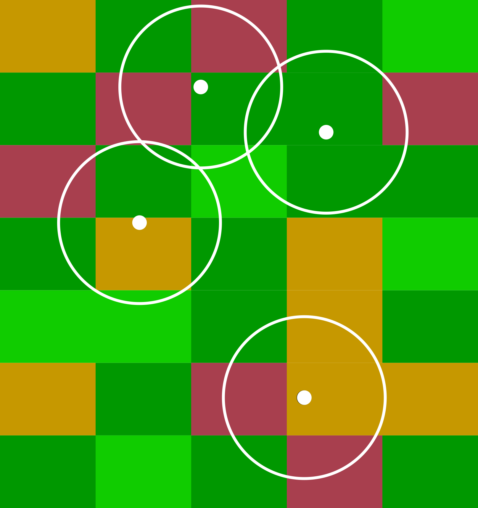
I want to find out what percentage of each land cover type is within 1km of each address (i.e. in a 1km buffer around each point).
Were the land cover also a polygon, it would be no problem to use the intersect tool. However, that doesn't work with raster data. My raster data is too large to convert into polygons.
The table I need to output should contain the ID of the buffer and the areas covered by each land cover type within that buffer.
I realise that this may be an extremely basic problem, but I'd very much appreciate any suggestions for appropriate tools I might use. Many thanks in advance.
- Mark as New
- Bookmark
- Subscribe
- Mute
- Subscribe to RSS Feed
- Permalink
- Report Inappropriate Content
Hi James,
The Zonal Statistics as Table may give you the result you're looking for. However, take note of the following for your Input value raster:
The Input value raster (in_value_raster in Python) can be either integer or floating point. However, when it is floating-point type, the options for calculating majority, median, minority, and variety will not be available.
- Mark as New
- Bookmark
- Subscribe
- Mute
- Subscribe to RSS Feed
- Permalink
- Report Inappropriate Content
you could convert your buffers to a raster using the same cell size, extent and snap raster, then examine the results of
This would work best if you treated the buffers as a single unit, ie they were reclassed to a single value... buffer (ie 1) non-buffer ( nodata)