- Home
- :
- All Communities
- :
- User Groups
- :
- Coordinate Reference Systems
- :
- Questions
- :
- Geotiff Location Problem
- Subscribe to RSS Feed
- Mark Topic as New
- Mark Topic as Read
- Float this Topic for Current User
- Bookmark
- Subscribe
- Mute
- Printer Friendly Page
Geotiff Location Problem
- Mark as New
- Bookmark
- Subscribe
- Mute
- Subscribe to RSS Feed
- Permalink
- Report Inappropriate Content
I imported GeoTiff in to arcgis but Geotiff is in the wrong place.No Geotiff's coordinates but xml file exists.How can I use XML to make the coordinate in the right place?

- Mark as New
- Bookmark
- Subscribe
- Mute
- Subscribe to RSS Feed
- Permalink
- Report Inappropriate Content
What are the extents of the geotiff? do the coordinates look like they are in decimal degrees?
perhaps you need to
- Mark as New
- Bookmark
- Subscribe
- Mute
- Subscribe to RSS Feed
- Permalink
- Report Inappropriate Content
It sounds as though you have managed to view the GeoTIFF into the Map View/Data Frame but it is in the wrong place. Have you confirmed that the Coordinate Reference System used is correct/as assumed?
- Mark as New
- Bookmark
- Subscribe
- Mute
- Subscribe to RSS Feed
- Permalink
- Report Inappropriate Content
What's in the XML file?
- Mark as New
- Bookmark
- Subscribe
- Mute
- Subscribe to RSS Feed
- Permalink
- Report Inappropriate Content
No coordinates and projection in Tiif.I think it should be used with xml.
Tiffs have to be where I show them but it comes to a different place.I think this might be related to xml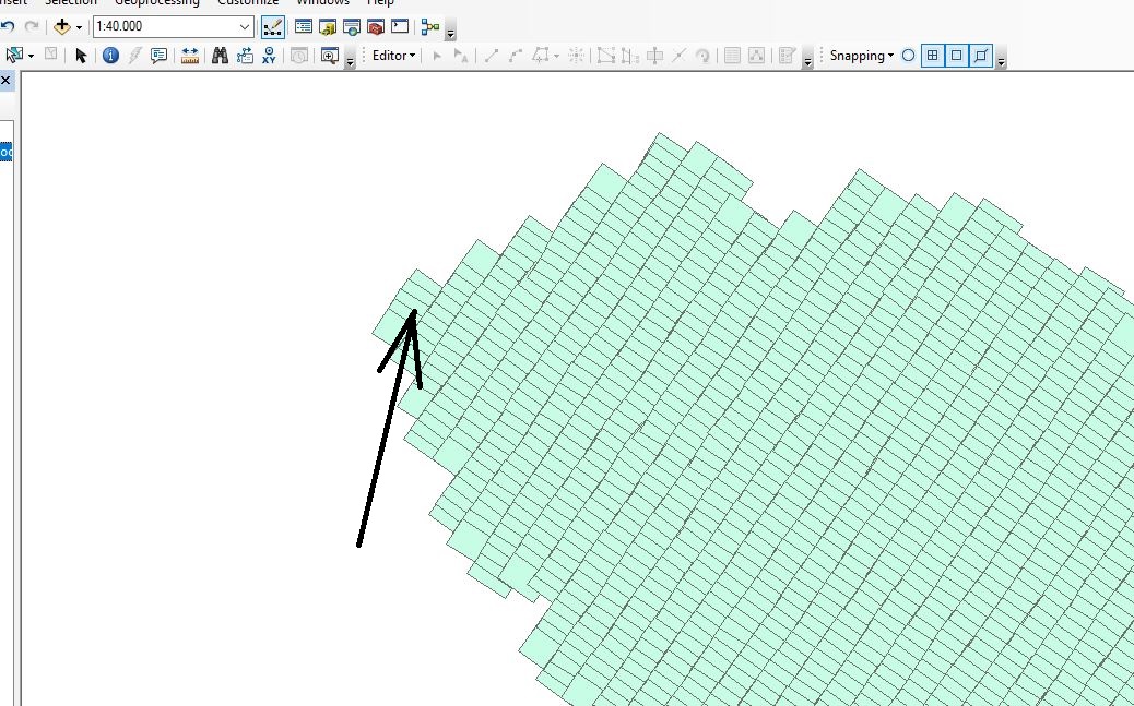
- Mark as New
- Bookmark
- Subscribe
- Mute
- Subscribe to RSS Feed
- Permalink
- Report Inappropriate Content
right-click on the layer in the table of contents,
select Properties and find the extent values... they will be there
- Mark as New
- Bookmark
- Subscribe
- Mute
- Subscribe to RSS Feed
- Permalink
- Report Inappropriate Content
Based on its position compared to where it should be, the extents will either be in latitude-longitude values or raw pixel values (like 0 - 1000). In the first case, you can define the coordinate system (projection) to a geographic coordinate system. In the second case, you'll have to georeference it.
- Mark as New
- Bookmark
- Subscribe
- Mute
- Subscribe to RSS Feed
- Permalink
- Report Inappropriate Content
I suspect the latter... but the extents will reveal all 