- Home
- :
- All Communities
- :
- Developers
- :
- Developers - General
- :
- Developers Questions
- :
- TIN to Raster tool crash in ArcMap
- Subscribe to RSS Feed
- Mark Topic as New
- Mark Topic as Read
- Float this Topic for Current User
- Bookmark
- Subscribe
- Mute
- Printer Friendly Page
TIN to Raster tool crash in ArcMap
- Mark as New
- Bookmark
- Subscribe
- Mute
- Subscribe to RSS Feed
- Permalink
- Report Inappropriate Content
Hello,
I have some trouble with the TIN to Raster tool.
Each time I try to create a raster from a TIN file, ArcMap crashes and has to close.
I'm doing a formation on ArcGIS 10 and I cheked the input file with the people of the formation, it is fine.
Maybe too heavy (50,8Mo in total) ?
I set the environment, I try to convert the file with no other layers in the data frame,...evering I'm doing doesn't change a thing.
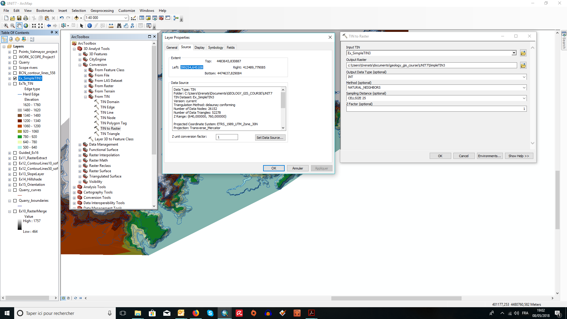
The parametors I'm trying to use are:
- input TIN checked
-Output raster in a geodatabase
- INTEGER
- natural neighbors and linear (I have to create two rasters, each of them with a different method)
- cellsize 25
- z factor 1 (default)
It's the only tool I can't use, I don't understand what's wrong with it. As far as I can see on the forum, nobody seems to have trouble executing the tool with ArcMap.
A little bit of help would really be appreciated,
Thanks
- Mark as New
- Bookmark
- Subscribe
- Mute
- Subscribe to RSS Feed
- Permalink
- Report Inappropriate Content
What version of ArcMap are you using? A TIN of approximately 50MB isn't very big and shouldn't generate ArcMap to crash. Try the following:
Resetting your ArcGIS application profile
and switch off Background Geoprocessing (64-bit)—Help | ArcGIS Desktop
- Mark as New
- Bookmark
- Subscribe
- Mute
- Subscribe to RSS Feed
- Permalink
- Report Inappropriate Content
I tried to reset the application profile with the steps detailed, and the background geoprocessing was already switch off ; but ArcMap still crashed.
Maybe I didn't activate something ?
- Mark as New
- Bookmark
- Subscribe
- Mute
- Subscribe to RSS Feed
- Permalink
- Report Inappropriate Content
Maybe in this case it is best to contact Esri Support and work through the problem and see what is happening on your computer. As I said before, ArcMap should not crash, especially not when the data is relatively small.
- Mark as New
- Bookmark
- Subscribe
- Mute
- Subscribe to RSS Feed
- Permalink
- Report Inappropriate Content
Ok thanks, I really think that there is a problem my my ArcMap, now another tool is not working.
Thanks for your help !
- Mark as New
- Bookmark
- Subscribe
- Mute
- Subscribe to RSS Feed
- Permalink
- Report Inappropriate Content
In that case contacting Esri Support would probably best or do a re-install if resetting the mxt does not work.
- Mark as New
- Bookmark
- Subscribe
- Mute
- Subscribe to RSS Feed
- Permalink
- Report Inappropriate Content
Also check the spatial reference of the dataset. For a cellsize of 25 m, the dataset should have a Projected Coordinate System (Unit=Meters).
Think Location
- Mark as New
- Bookmark
- Subscribe
- Mute
- Subscribe to RSS Feed
- Permalink
- Report Inappropriate Content
I was already using projected coordinates, but I will take note of this for the future.
- Mark as New
- Bookmark
- Subscribe
- Mute
- Subscribe to RSS Feed
- Permalink
- Report Inappropriate Content
Perhaps an image of what you are using.
Have you tried it with a different file?
Have you tried creating a small simple tin and convert it?
Can you show the inputs to the tool dialog?
- Mark as New
- Bookmark
- Subscribe
- Mute
- Subscribe to RSS Feed
- Permalink
- Report Inappropriate Content
I tried with a different file, lighter than the previous one, and the tool still make ArcMap crashed.