Turn on suggestions
Auto-suggest helps you quickly narrow down your search results by suggesting possible matches as you type.
Cancel
- Home
- :
- All Communities
- :
- Products
- :
- ArcGIS Hub
- :
- ArcGIS Hub Questions
- :
- Interpolation Problem
Options
- Subscribe to RSS Feed
- Mark Topic as New
- Mark Topic as Read
- Float this Topic for Current User
- Bookmark
- Subscribe
- Mute
- Printer Friendly Page
Interpolation Problem
Subscribe
301
1
03-19-2018 11:23 AM
03-19-2018
11:23 AM
- Mark as New
- Bookmark
- Subscribe
- Mute
- Subscribe to RSS Feed
- Permalink
- Report Inappropriate Content
I did the following steps:
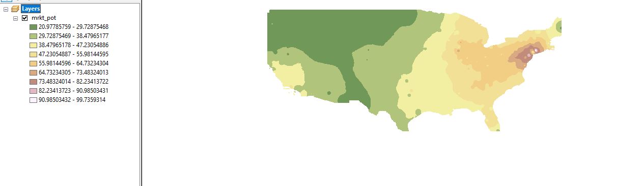
1) I went into ArcMap, and from the toolbox, selected, Interpolation-IDW
2) I then put my shapefile as the input and selected the field that I want to map
3) I went to environment settings, raster analysis, and tried to mask the area that I want with the U.S. boundaries shapefile since I want it for the U.S. boundaries only.
It keeps it within the U.S. boundaries, but it cuts off parts of the U.S. I am attaching a snapshot. Does anyone know why this is? How do I fix this problem?
1 Reply
03-19-2018
11:59 AM
- Mark as New
- Bookmark
- Subscribe
- Mute
- Subscribe to RSS Feed
- Permalink
- Report Inappropriate Content
recheck the extent with a mouse query and select the eastern and western most parts to ensure that they are indeed joined to the US.