Turn on suggestions
Auto-suggest helps you quickly narrow down your search results by suggesting possible matches as you type.
Cancel
- Home
- :
- All Communities
- :
- Products
- :
- ArcGIS Hub
- :
- ArcGIS Hub Questions
- :
- I am trying to make contour maps of the aggregate ...
Options
- Subscribe to RSS Feed
- Mark Topic as New
- Mark Topic as Read
- Float this Topic for Current User
- Bookmark
- Subscribe
- Mute
- Printer Friendly Page
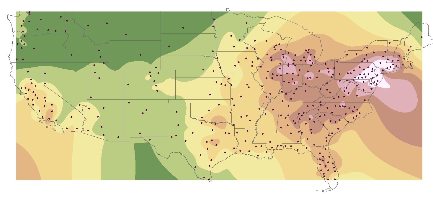
I am trying to make contour maps of the aggregate travel cost by metro in 2017 and the market potential by metro in 2017. I have made the maps on ArcMap, but I am not able to keep the contours inside the U.S. boundaries even those I use a U.S. boundaries
Subscribe
269
1
03-19-2018 08:38 AM
03-19-2018
08:38 AM
- Mark as New
- Bookmark
- Subscribe
- Mute
- Subscribe to RSS Feed
- Permalink
- Report Inappropriate Content
1 Reply
03-19-2018
10:17 AM
- Mark as New
- Bookmark
- Subscribe
- Mute
- Subscribe to RSS Feed
- Permalink
- Report Inappropriate Content
One alternative is to mask the results so as to just show the United States in the final display. Check out the variety of possible solutions in this recent GeoNet thread:
smothening edges of interpolated map
Chris Donohue, GISP