- Home
- :
- All Communities
- :
- Products
- :
- ArcGIS Pro
- :
- ArcGIS Pro Questions
- :
- ArcGIS Pro WMS Issues
- Subscribe to RSS Feed
- Mark Topic as New
- Mark Topic as Read
- Float this Topic for Current User
- Bookmark
- Subscribe
- Mute
- Printer Friendly Page
- Mark as New
- Bookmark
- Subscribe
- Mute
- Subscribe to RSS Feed
- Permalink
- Report Inappropriate Content
Hello, I am having an interesting issue with ArcGIS Pro not displaying the polygon boundaries of a WMS layer but displays the labels.
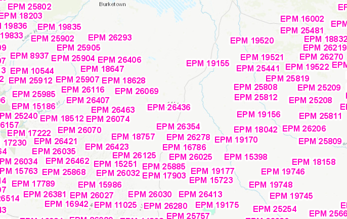
If I load the following layer Layer: EPM Granted (ID: 3) into ArcGIS Pro then only labels are displayed.
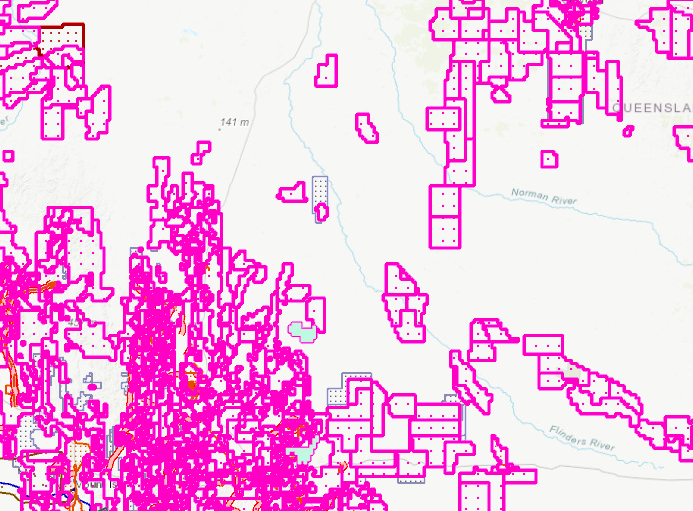
IF I load the full WMS Economy/MinesPermitsCurrent (MapServer) then it shows all the layers and
If I do the same in Portal for ArcGIS I get all layers showing
Can anyone shed some light on why this might be happening please?
Solved! Go to Solution.
Accepted Solutions
- Mark as New
- Bookmark
- Subscribe
- Mute
- Subscribe to RSS Feed
- Permalink
- Report Inappropriate Content
This service does not draw in Pro because Server returns an error when service layer query includes any value other than 0 for maxAllowableOffset parameter. Requests that are sent from Pro include a maxAllowableOffset value, which causes the server to throw an error and not return any feature geometry back.
Server returns an error: https://gisservices.information.qld.gov.au/arcgis/rest/services/Economy/MinesPermitsCurrent/MapServe...
If the request is modified to exclude maxAllowableOffset or set this value to 0 then the request succeeds.