- Home
- :
- All Communities
- :
- User Groups
- :
- Mobile GIS
- :
- Questions
- :
- Fitbit TCX file with ArcGIS?
- Subscribe to RSS Feed
- Mark Topic as New
- Mark Topic as Read
- Float this Topic for Current User
- Bookmark
- Subscribe
- Mute
- Printer Friendly Page
Fitbit TCX file with ArcGIS?
- Mark as New
- Bookmark
- Subscribe
- Mute
- Subscribe to RSS Feed
- Permalink
- Report Inappropriate Content
My research includes a lot of hiking for surveying. I have a fitbit which uses GPS to map my hikes. I can export the data to TCX file. How do import this and use it with ArcGIS Pro or Desktop, or is there a way I can convert it into a compatible format for ArcGIS?
- Mark as New
- Bookmark
- Subscribe
- Mute
- Subscribe to RSS Feed
- Permalink
- Report Inappropriate Content
According to Training Center XML - Wikipedia it's a particular flavor of xml, and according to that article it's similar to the gpx flavor of xml that Garmin gps units spit out. I'm pretty sure ArcGIS can read a gpx file, so you may want to find a gpx file and compare it to your tcx file and then see if there is a conversion routine available to do so. See this too: TCX Converter - The multiconverter tool
edited to add: GPX to Features tool : GPX To Features—Help | ArcGIS Desktop
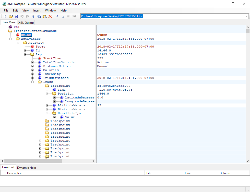
Here is what your tcx file looks like in xml notepad:
- Mark as New
- Bookmark
- Subscribe
- Mute
- Subscribe to RSS Feed
- Permalink
- Report Inappropriate Content
I used Garmin Basecamp to import my TCX files and export them as GPX - very easy to do!
- Mark as New
- Bookmark
- Subscribe
- Mute
- Subscribe to RSS Feed
- Permalink
- Report Inappropriate Content
I was able to open the TCX file in excel, save as a csv and add to arcpro. My file includes fields for the lat/longs.
- Mark as New
- Bookmark
- Subscribe
- Mute
- Subscribe to RSS Feed
- Permalink
- Report Inappropriate Content
I just used the AllTrails file converter and was able to spit out the .tcx as a .kml. Just threw it into Pro and it worked like a charm.