Turn on suggestions
Auto-suggest helps you quickly narrow down your search results by suggesting possible matches as you type.
Cancel
- Home
- :
- All Communities
- :
- Products
- :
- ArcGIS Enterprise
- :
- ArcGIS Enterprise Questions
- :
- Error WFS (2.0.0) GetFeature spatial query with mu...
Options
- Subscribe to RSS Feed
- Mark Topic as New
- Mark Topic as Read
- Float this Topic for Current User
- Bookmark
- Subscribe
- Mute
- Printer Friendly Page
Error WFS (2.0.0) GetFeature spatial query with multi-surface geometries in ArcGIS Server 10.6
Subscribe
2096
1
02-22-2018 08:48 AM
02-22-2018
08:48 AM
- Mark as New
- Bookmark
- Subscribe
- Mute
- Subscribe to RSS Feed
- Permalink
- Report Inappropriate Content
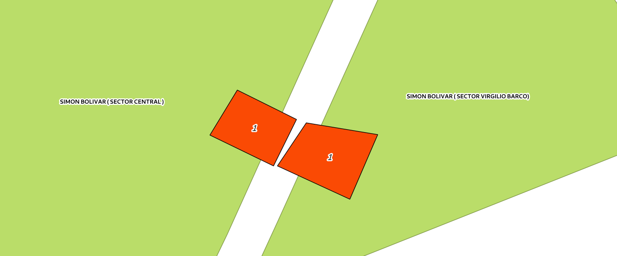
In the new version of ArcGIS Server 10.6 it is not possible to request GetFeature WFS with spatial filters with multi-surface geometry. The following is an example of the query:
GML3 geometry would be represented as:
<gml:MultiSurface srsName="urn:ogc:def:crs:EPSG:6.9:6247"><gml:surfaceMember><gml:Polygon><gml:exterior><gml:LinearRing><gml:posList>98465.5842225004 106542.564601002 98498.638362525 106596.879798651 98570.0738671067 106561.465944204 98542.3330263732 106505.380223682 98465.5842225004 106542.564601002</gml:posList></gml:LinearRing></gml:exterior></gml:Polygon></gml:surfaceMember><gml:surfaceMember><gml:Polygon><gml:exterior><gml:LinearRing><gml:posList>98547.0558057572 106505.380685821 98581.8812200508 106557.334667689 98668.0733316556 106543.174764104 98634.4311531541 106465.24560996 98547.0558057572 106505.380685821</gml:posList></gml:LinearRing></gml:exterior></gml:Polygon></gml:surfaceMember></gml:MultiSurfaceThe POST query for the following case would be as follows:
<?xml version="1.0" encoding="UTF-8"?>
<wfs:GetFeature service="WFS" version="2.0.0"
xmlns:wfs="http://www.opengis.net/wfs/2.0"
xmlns:fes="http://www.opengis.net/fes/2.0"
xmlns:gml="http://www.opengis.net/gml/3.2"
xmlns:EEP_Reporte_Dec190='http://www.secretariadeambiente.gov.co/arcgis/services/MapasVisorGeo/Lote/MapServer/WFSServer'
xmlns:xsi="http://www.w3.org/2001/XMLSchema-instance"
xsi:schemaLocation="http://www.opengis.net/wfs/2.0
http://schemas.opengis.net/wfs/2.0/wfs.xsd
http://www.opengis.net/gml/3.2
http://schemas.opengis.net/gml/3.2.1/gml.xsd">
<wfs:Query typeNames='EEP_Reporte_Dec190:EEP_Reporte_Dec190:Parques_Urbanos' srsName="urn:ogc:def:crs:EPSG:6.9:6247">
<fes:Filter>
<fes:Intersects>
<fes:ValueReference>SHAPE</fes:ValueReference>
<gml:MultiSurface><gml:surfaceMember><gml:Polygon><gml:exterior><gml:LinearRing><gml:posList>98465.5842225004 106542.564601002 98498.638362525 106596.879798651 98570.0738671067 106561.465944204 98542.3330263732 106505.380223682 98465.5842225004 106542.564601002</gml:posList></gml:LinearRing></gml:exterior></gml:Polygon></gml:surfaceMember><gml:surfaceMember><gml:Polygon><gml:exterior><gml:LinearRing><gml:posList>98547.0558057572 106505.380685821 98581.8812200508 106557.334667689 98668.0733316556 106543.174764104 98634.4311531541 106465.24560996 98547.0558057572 106505.380685821</gml:posList></gml:LinearRing></gml:exterior></gml:Polygon></gml:surfaceMember></gml:MultiSurface>
</fes:Intersects>
</fes:Filter>
</wfs:Query>
</wfs:GetFeature>And ArcGIS Server returns the following error:
<?xml version="1.0" encoding="utf-8" ?>
<ExceptionReport
version="2.0.0" xmlns="http://www.opengis.net/ows/1.1"
xmlns:xsi="http://www.w3.org/2001/XMLSchema-instance"
xsi:schemaLocation="http://www.opengis.net/ows/1.1 http://schemas.opengis.net/ows/1.1.0/owsAll.xsd">
<Exception exceptionCode="InvalidParameterValue" locator="Unknown">
<ExceptionText>
<![CDATA[Unknown geometry type was found.]]>
</ExceptionText>
</Exception>
<Exception exceptionCode="OperationProcessingFailed" locator="Unknown">
<ExceptionText>
<![CDATA[Operator 'Intersects' can't parse geometry.]]>
</ExceptionText>
</Exception>
</ExceptionReport>It is to be noted that in version 10.4.1 this query worked correctly.
Regards,
1 Reply
09-06-2018
11:53 PM
- Mark as New
- Bookmark
- Subscribe
- Mute
- Subscribe to RSS Feed
- Permalink
- Report Inappropriate Content
Hi, we have the same problem, any ideas? Version 10.6.1.