- Home
- :
- All Communities
- :
- User Groups
- :
- CAD/GIS Data Integration
- :
- Questions
- :
- Export to CAD with attached seed file causes the d...
- Subscribe to RSS Feed
- Mark Topic as New
- Mark Topic as Read
- Float this Topic for Current User
- Bookmark
- Subscribe
- Mute
- Printer Friendly Page
Export to CAD with attached seed file causes the dwg to change locations and scale
- Mark as New
- Bookmark
- Subscribe
- Mute
- Subscribe to RSS Feed
- Permalink
- Report Inappropriate Content
Whenever I try exporting to CAD in ArcMap without a seed file attached the dwg lines up correctly with the shapefile. When I add a seed file the size of the blocks becomes tiny and the entire dwg moves to completely different location on my map.It is supposed to be Erie County in New York. The shapefiles are in WGS 84. Any help is much appreciated.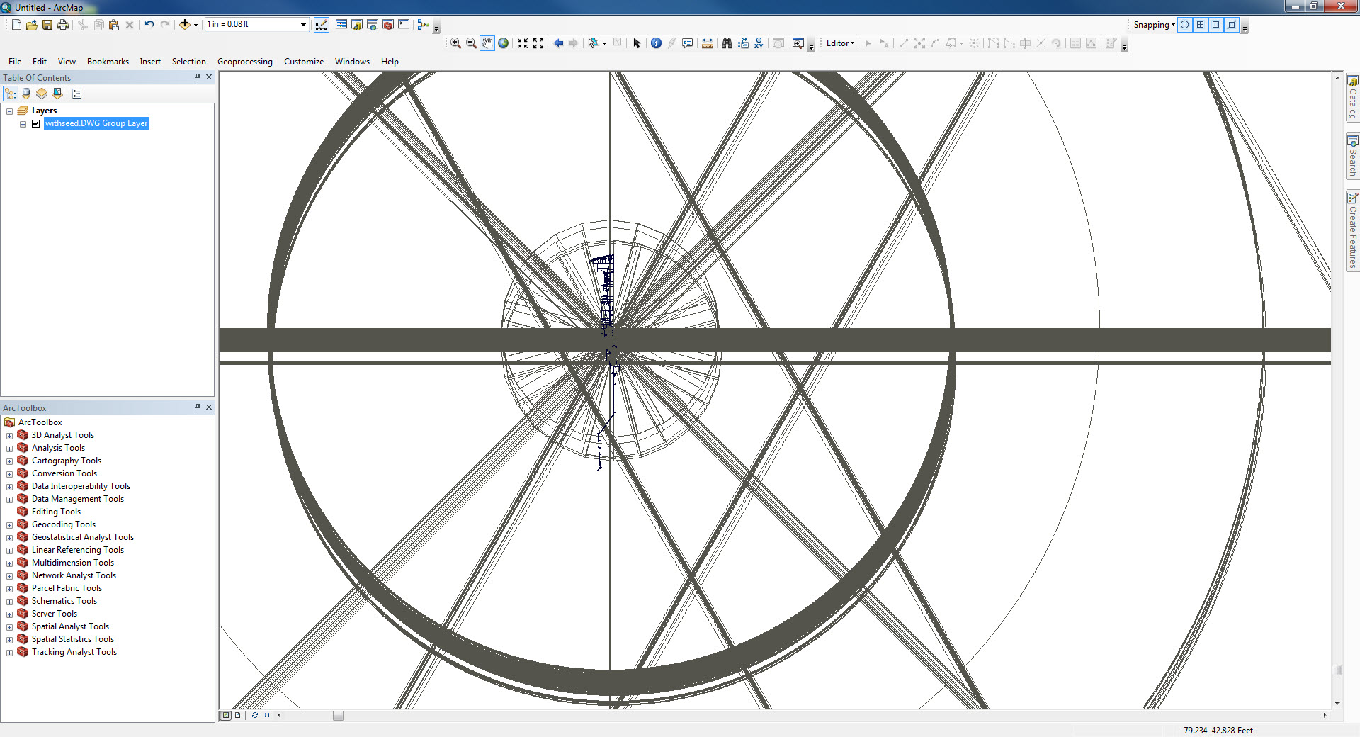
- Mark as New
- Bookmark
- Subscribe
- Mute
- Subscribe to RSS Feed
- Permalink
- Report Inappropriate Content
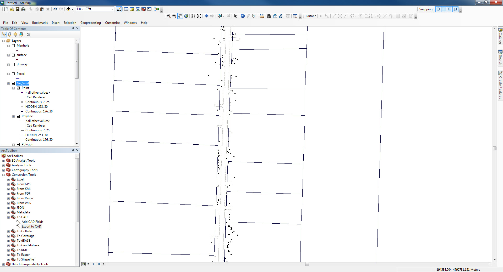
I am also working on a similar problem. I am working in UTM in GIS and the original CAD file is drawn to a arbitrary 0,0. I bring the CAD file into GIS (ESRI desktop 10.5.1), georeference the file, and save the worldfile for future use with future versions of this CAD file. All is well at this point; however, I need to make some edits to the features. I perform the edits, then export the file back to CAD using the original CAD file as the seed file. Everything displays in the CAD file as it should (with the exception of scale); however, it's miles away from the original data in the CAD file. I can assume, at this point, that the UTM coordinate system was applied during the export from GIS although I told it not to. What I would really like to see is the drawing displayed back at 0,0 when opened in AutoCAD.
I am still working through and testing a workflow so we can perform these tasks repeatedly.
I will update here when I learn more.