Turn on suggestions
Auto-suggest helps you quickly narrow down your search results by suggesting possible matches as you type.
Cancel
- Home
- :
- All Communities
- :
- Products
- :
- 3D
- :
- 3D Questions
- :
- display a 3D subsoil model in Arc Scene
Options
- Subscribe to RSS Feed
- Mark Topic as New
- Mark Topic as Read
- Float this Topic for Current User
- Bookmark
- Subscribe
- Mute
- Printer Friendly Page
display a 3D subsoil model in Arc Scene
Subscribe
1473
2
10-26-2017 01:48 AM
10-26-2017
01:48 AM
- Mark as New
- Bookmark
- Subscribe
- Mute
- Subscribe to RSS Feed
- Permalink
- Report Inappropriate Content
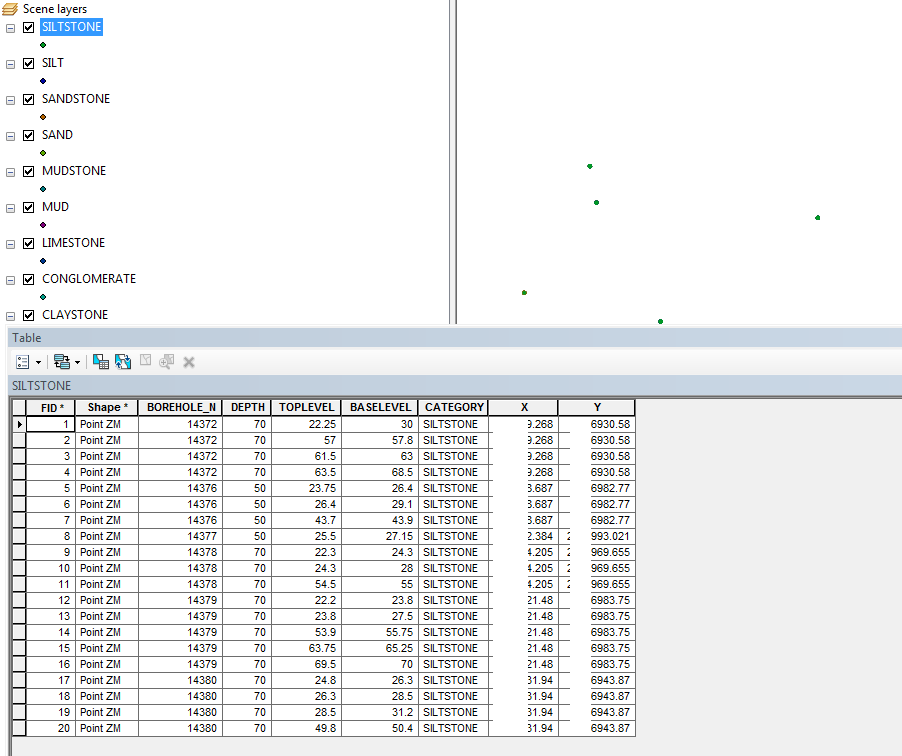
I have borehole data with different soil classifications.I created each soil type in to individual shape files. if anybody had any ideas on how to display a 3D subsoil model in Arc Scene?Can you tell me the steps to interpolate and finally visualize it in 3d with layers.Please find the attached screenshot for my data.Developers
2 Replies
10-26-2017
02:42 AM
- Mark as New
- Bookmark
- Subscribe
- Mute
- Subscribe to RSS Feed
- Permalink
- Report Inappropriate Content
Check here - https://community.esri.com/thread/33777
10-29-2017
12:21 AM
- Mark as New
- Bookmark
- Subscribe
- Mute
- Subscribe to RSS Feed
- Permalink
- Report Inappropriate Content
Thanks for your replies
Here i have different soil types for each boreholes based up on depth.so interpolation can be done for each layer with specific depth.Please find the attachment..if in case anyone else come across such tutorial videos or material please share...
Regards
sree