- Home
- :
- All Communities
- :
- Products
- :
- Data Management
- :
- Data Management Questions
- :
- Raster converted from ASCII is offset
- Subscribe to RSS Feed
- Mark Topic as New
- Mark Topic as Read
- Float this Topic for Current User
- Bookmark
- Subscribe
- Mute
- Printer Friendly Page
Raster converted from ASCII is offset
- Mark as New
- Bookmark
- Subscribe
- Mute
- Subscribe to RSS Feed
- Permalink
- Report Inappropriate Content

Background: I received an .asc file with elevation data in southern Oregon. The horizontal datum = feet, vertical datum = MLLW. I edited the header, and successfully used the ASCII to Raster tool. I used the Define Projection tool to set projection. I tried:
NAD_1983_StatePlane_Oregon_South_FIPS_3602_Feet_Intl
NAD_1983_StatePlane_Oregon_South_FIPS_3202_Feet_US
I used the Project Raster to our working projection (WGS_1984_UTM_Zone_10N).
**All of these steps were conducted in ArcCatalog.**
I was told by .asc provider that:
"Use Oregon state plane South survey feet (id# 3602), because grid cells will have the same spacing in the latitudinal and longitudinal direction. You should be able to use this to load into arc and then convert to another datum (lat/lon)."
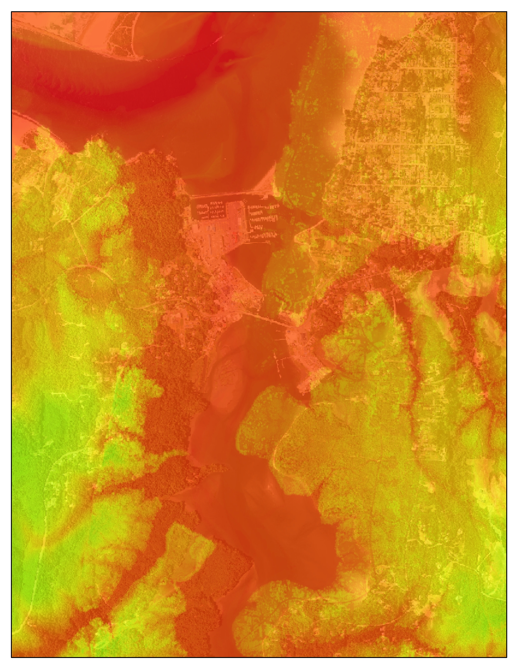
Problem: When I put it in ArcMap with a basemap in the WGS_1984_UTM_Zone_10N, it is offset. I tried estimating the offset and using the Shift tool, but it is difficult given the permanent features in a basemap with current bathymetry topography. It seemed to indicate the offset may not be quite the same everywhere. I'm not sure though.
Any suggestions?
- Mark as New
- Bookmark
- Subscribe
- Mute
- Subscribe to RSS Feed
- Permalink
- Report Inappropriate Content
is it just a shift? or is it a scale too? a shift would imply that the difference between reference locations would be consistent as you head east-west and north-south. A scale will have an increasing difference in those directions since the cell size specified is not correct and the 'offset' becomes greater to the east and north if the raster location is defined based on its lower left coordinate (east and south if defined by the top left). If there is no consist variation or it just gets progressively worse, then you have translation, rotation and scale issues and a georeferenced of the image using a simple 1st order (affine) transformation should work. Check georeferencing images in the help files.
- Mark as New
- Bookmark
- Subscribe
- Mute
- Subscribe to RSS Feed
- Permalink
- Report Inappropriate Content
Are you saying that the original text file didn't have a header?
Where did you get the information about cell size, LL corner coords etc?
- Mark as New
- Bookmark
- Subscribe
- Mute
- Subscribe to RSS Feed
- Permalink
- Report Inappropriate Content
Neil, the lead in question https://community.esri.com/thread/191843-ascii-to-raster-error-in-grid-expression which I think is related. Initial assumption would have been specifying a cell size issue, which may not be the simple case if the header information doesn't fix it.
- Mark as New
- Bookmark
- Subscribe
- Mute
- Subscribe to RSS Feed
- Permalink
- Report Inappropriate Content
In the screen shot of the linked thread, CELLSIZE = 0.0, which obviously can't be correct.
As the data appears to be in GCS, getting the cellsize correct would be quite tricky.