- Home
- :
- All Communities
- :
- Industries
- :
- Transportation
- :
- Roads and Highways
- :
- Roads and Highways Questions
- :
- How to get annotations to appear in Civil 3D
- Subscribe to RSS Feed
- Mark Topic as New
- Mark Topic as Read
- Float this Topic for Current User
- Bookmark
- Subscribe
- Mute
- Printer Friendly Page
How to get annotations to appear in Civil 3D
- Mark as New
- Bookmark
- Subscribe
- Mute
- Subscribe to RSS Feed
- Permalink
- Report Inappropriate Content
Hello everyone,
I am currently trying to move data from ArcMAP to Civil 3D as AutoCAD 2016. When the GIS data was given to me, the annotations were stored in an MS Access database. In ArcMAP, the annotations are actually a polygon shapefile with the data stored in the attribute table. To get the labels to show properly, you set it to "show labels" and then, in the placement properties for the labels, check the box that says "Only place label inside polygon". Just like it sounds, the label appears within each polygon in the shapefile.
When I try and transfer over my data to Civil 3D, however, I cannot find where to open the attribute table or set labels or anything. I don't use CAD software very often, so I'm going in blind. Any help would be very much appreciated!
- Mark as New
- Bookmark
- Subscribe
- Mute
- Subscribe to RSS Feed
- Permalink
- Report Inappropriate Content
Ellie, You’ll need follow a few steps, to get the labels to CAD annotation.
1. You’ll need to Create a File Geodatabase and import the shapefile polygons.
2. You need to label the polygons exactly as you described in your post.
3. If you don’t want to see the polygons you’ll need to symbolize them so they are transparent otherwise symbolize them appropriately.
4. You’ll need to set a reference scale<http://desktop.arcgis.com/en/arcmap/latest/map/working-with-arcmap/working-with-data-frame-reference-scales.htm> on your labels so they display at a fixed height and width at the referenced scale on the map. So if you want your text to appear at 12 point font at 1200” scale then you’ll set your font to 12points and your reference scale to 1200” or 100 feet. Then when the map or printed page map scale 100 feet matches the map scale the text will appear as 12 point font. If you zoom out to 2400” or 200 feet then the text size will appear as 6 point font.
5. Convert Labels to Annotation<http://desktop.arcgis.com/en/arcmap/latest/map/working-with-text/converting-labels-to-annotation.htm>
6. Convert Geodatabase to CAD<http://support.esri.com/technical-article/000008383>
Esri | 7775 Walton Pkwy, Suite 270 | New Albany, Ohio 43054-8202 | USA
T 614-933-8698, ext. 5503 | erodenberg@esri.com | esri.com
- Mark as New
- Bookmark
- Subscribe
- Mute
- Subscribe to RSS Feed
- Permalink
- Report Inappropriate Content
I will try this, thank you!
- Mark as New
- Bookmark
- Subscribe
- Mute
- Subscribe to RSS Feed
- Permalink
- Report Inappropriate Content
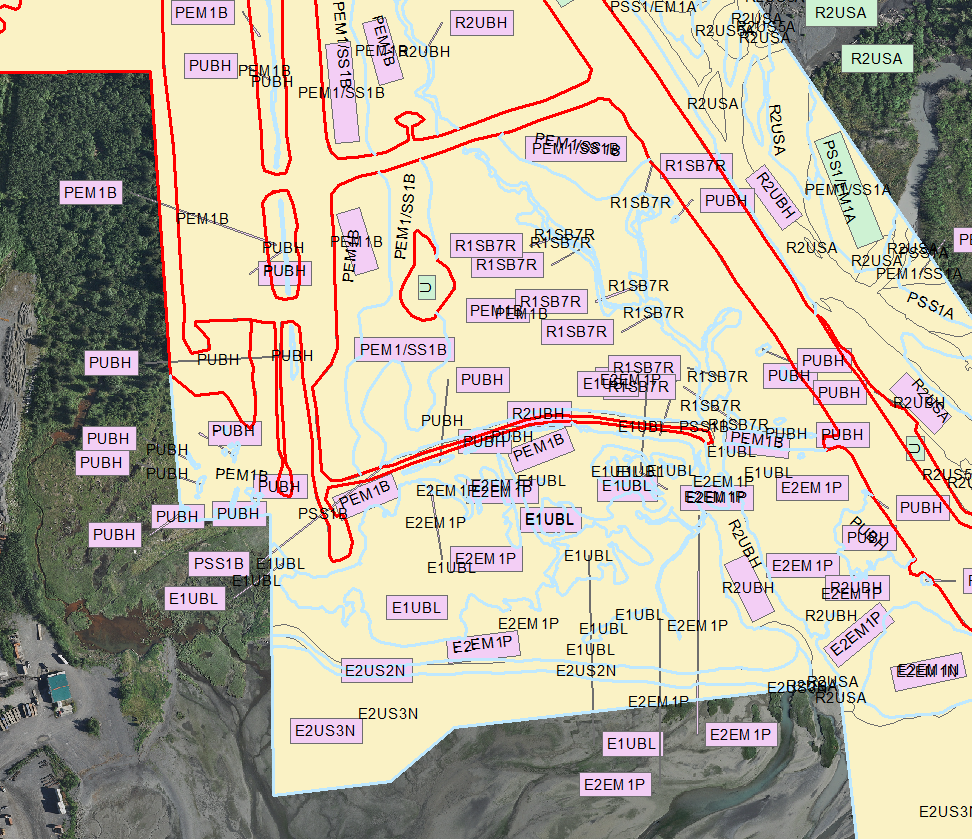
New question: Do you know how to get rid of these excess labels? I tried to do an edit session on the layer but it only shows one label in the attribute table. (It doesn't do this when drawing directly from the Access Table, only the shapefile)
- Mark as New
- Bookmark
- Subscribe
- Mute
- Subscribe to RSS Feed
- Permalink
- Report Inappropriate Content
Are you using the Mapplex labeling engine... it looks like the labels belong to small sliver polygons. I would look at stetting the minimum feature size for labeling... That will allow you specify an area. Identify one of the polygon slivers and one of the whole polygons you can see on the map and compare the shape_area values. Set the value to be larger than the sliver and smaller than the big polys and you should be ok as the tool won't draw labels if they are smaller than the minimum label size.
Esri | 7775 Walton Pkwy, Suite 270 | New Albany, Ohio 43054-8202 | USA
T 614-933-8698, ext. 5503 | erodenberg@esri.com | esri.com