- Home
- :
- All Communities
- :
- Products
- :
- ArcGIS Enterprise
- :
- ArcGIS Enterprise Questions
- :
- image service raster dataset attributes
- Subscribe to RSS Feed
- Mark Topic as New
- Mark Topic as Read
- Float this Topic for Current User
- Bookmark
- Subscribe
- Mute
- Printer Friendly Page
image service raster dataset attributes
- Mark as New
- Bookmark
- Subscribe
- Mute
- Subscribe to RSS Feed
- Permalink
- Report Inappropriate Content
I have a 1 band thematic 32 bit unsigned tiff raster dataset with a raster attribute table. The raster attribute table contains a value field which is a unique ID and several other fields containing theme values which I would like to symbolize and publish services for each field. I've published this raster dataset directly as an image service. The resulting service gives the ability to identify values from the raster attribute table. My users would like to see the raster dataset published with classified symbology. The users of the service can do this themselves by loading a .lyr file to the services symbology and still see the raster attributes when using the identify tool. However when I try to publish this image service by publishing the associated .lyr file the resulting service looses the ability to identify values from the raster dataset attribute table. I've also tried saving the symbology as a .rft raster function but I receive an image service with the same issue. Is there a way to publish the raster dataset with the desired symbology and still be able to identify the values from the raster attribute table? I'm publishing to 10.3.1
- Mark as New
- Bookmark
- Subscribe
- Mute
- Subscribe to RSS Feed
- Permalink
- Report Inappropriate Content
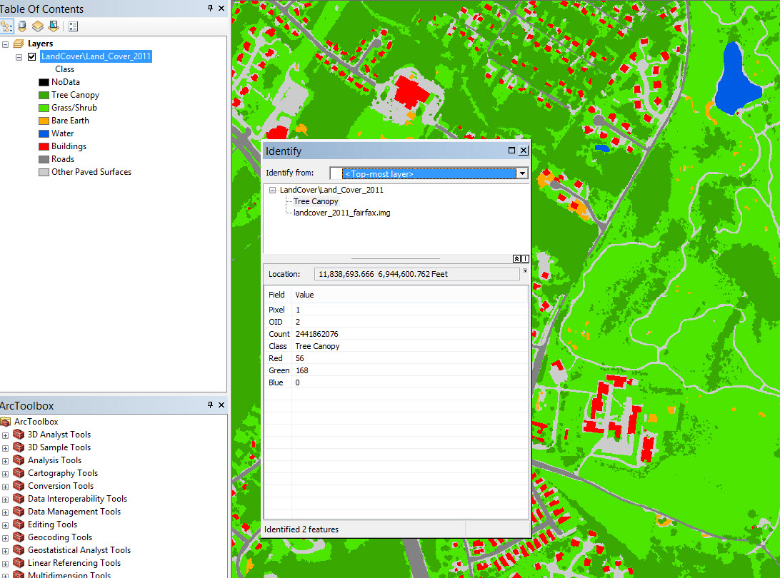
I think my scenario is similar. I've published an image service for a land cover raster (8-bit, 1-band .img file) that uses the attribute table raster function to provide access to the land cover classes and the symbology I want. I had to add Red, Green, and Blue fields to the raster attribute table and populate their values. I had overlooked this sentence in the help for the attribute table function:
Additionally, if your [raster attribute] table contains fields named red, green, and blue, then values within those fields will be used like a color map when rendering the image.
The identify tool in ArcMap reports the land cover class as well as the pixel value. Layer files and color maps seemed to wipe out raster attributes for me as well. Now I just need to get ArcGIS Online popups to read the raster values. So far, I haven't gotten the AGOL popup to work for the land cover layer (it works for LiDAR and other image services though).