- Home
- :
- All Communities
- :
- Products
- :
- ArcGIS Pro
- :
- ArcGIS Pro Questions
- :
- Georeferencing PNG based off of data frame corners
- Subscribe to RSS Feed
- Mark Topic as New
- Mark Topic as Read
- Float this Topic for Current User
- Bookmark
- Subscribe
- Mute
- Printer Friendly Page
Georeferencing PNG based off of data frame corners
- Mark as New
- Bookmark
- Subscribe
- Mute
- Subscribe to RSS Feed
- Permalink
- Report Inappropriate Content
First, in Arcmap I set the data frame exactly equal to the page layout (2'hx3'w) and exported my hillshade, DEM, etc one after the other from layout view so that they were all the exact same size and extent.
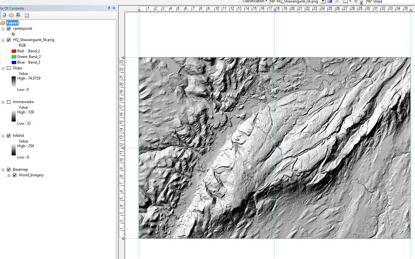
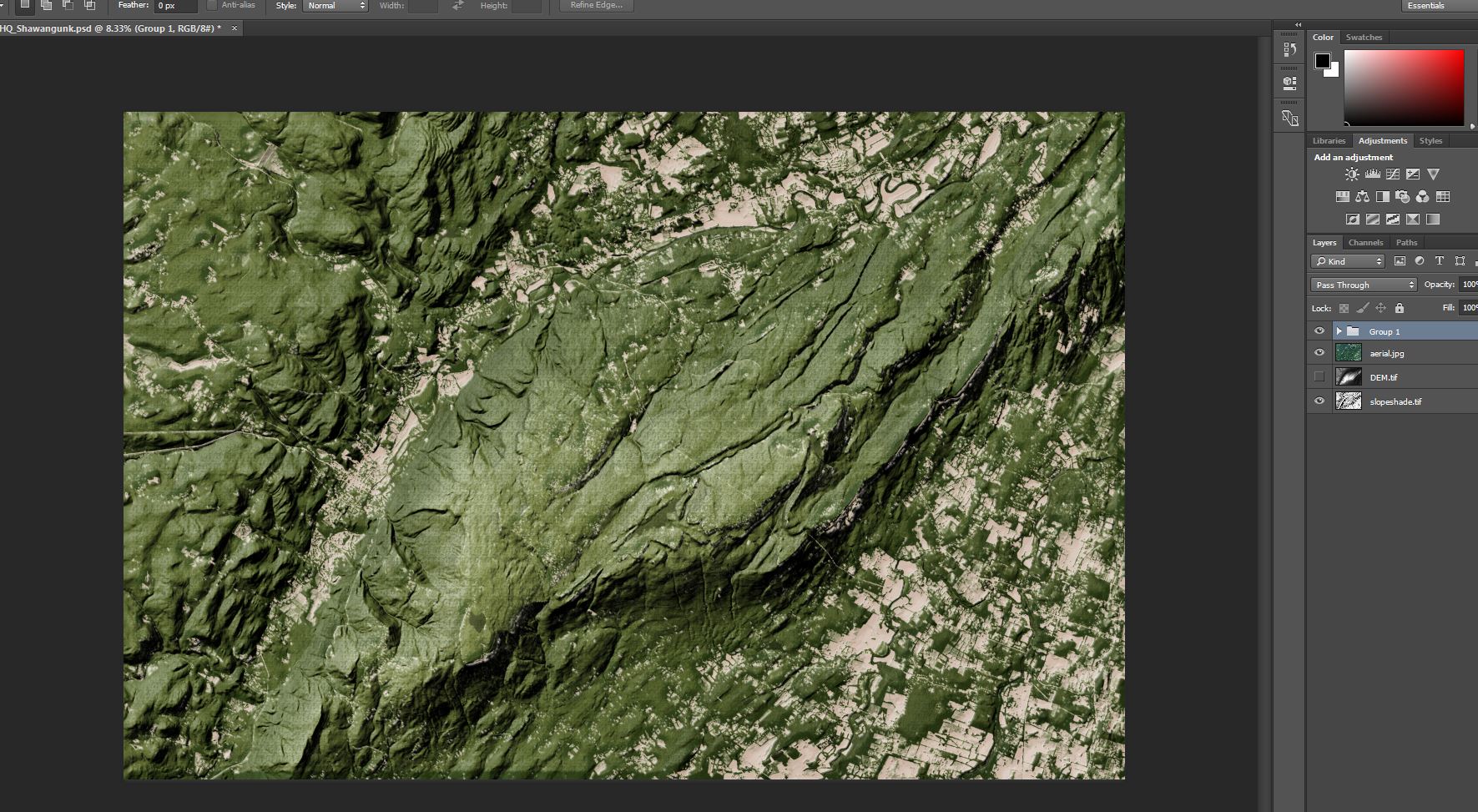
Then, I did my editing in Photoshop to create a bump map/hillshade backdrop.
Now I am trying to bring the image back in as a backdrop for a trailmap. I don't want to georeference based off common features if I can just use the exact corners of the data frame from my original export arcmap (I am already familiar with the process of georeferencing using common features). It seems like using the exact corners would prove more accurate and this process would be easier to streamline for future users.
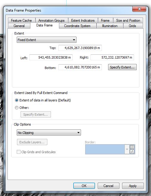
If I am understanding correctly I can find the exact corners of the data frame in the Data Frame Properties>Data Frame>Extent>Fixed Extent. Is there a way to apply these coordinates to the corners of my image?
Also, any suggestions for cleaning up my bulky workflow would be greatly appreciated.
Thanks,
Clifton
(Credits for backdrop method in Photoshop go to Adam Wilbert via this video: Making Beautiful Maps: Part 3: Hillshading on Vimeo )