- Home
- :
- All Communities
- :
- Products
- :
- ArcGIS Online
- :
- ArcGIS Online Questions
- :
- Not understanding the "Set Visibility Range"
- Subscribe to RSS Feed
- Mark Topic as New
- Mark Topic as Read
- Float this Topic for Current User
- Bookmark
- Subscribe
- Mute
- Printer Friendly Page
Not understanding the "Set Visibility Range"
- Mark as New
- Bookmark
- Subscribe
- Mute
- Subscribe to RSS Feed
- Permalink
- Report Inappropriate Content
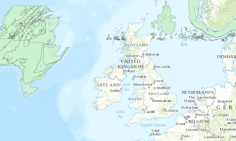
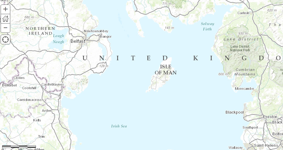
I have a layer in my ArcGIS Online map. It has a lot of features in the layer meaning that ArcGIS Online cannot draw all of them on the map. It suggests to me to play with the "Set Visibility Range" function. I did but it does not seem to show what I want. I want the user to be able to see all of the features in both zoom ranges (see pictures). (The first screenshot is not showing all the features and the second screenshot is not showing the features at all). Which range would be best in "Set Visibility Range"?
- Mark as New
- Bookmark
- Subscribe
- Mute
- Subscribe to RSS Feed
- Permalink
- Report Inappropriate Content
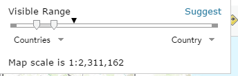
the top line of your scale shows the two white down arrows and one black one... the two white arrow are really close together to the far left. The black arrow isn't in between them. Playing around with ranges, what happens to their placement and the visibility of the features?
- Mark as New
- Bookmark
- Subscribe
- Mute
- Subscribe to RSS Feed
- Permalink
- Report Inappropriate Content
Not sure if you are suppose to re-projection to web Mercator when you upload to ArcGIS online ?
- Mark as New
- Bookmark
- Subscribe
- Mute
- Subscribe to RSS Feed
- Permalink
- Report Inappropriate Content
Eninna,
If you want the features to display at all scale levels drag the left slider all the way to the left and the right slider all the way to the right. However you will still have issue with all of the features displaying...by default a hosted feature layer will only return the first 1,000 records. If you have admin privleges you can modify the service definition or republish the layer from ArcMap where you can modify the Max number of records returned.
- Mark as New
- Bookmark
- Subscribe
- Mute
- Subscribe to RSS Feed
- Permalink
- Report Inappropriate Content
I tried your range and it seems more features are visible than before.
I saved the feature from ArcGIS Desktop as service definition. It saved in my computer. Do I add this on a map in ArcGIS Online?
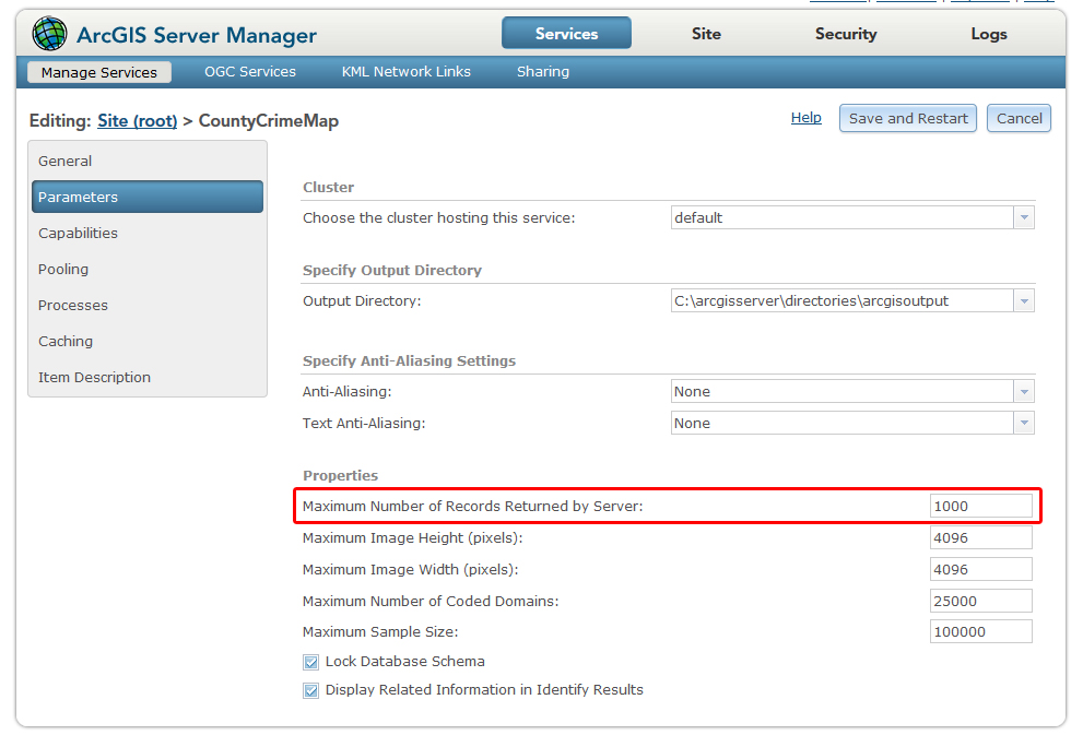
How do I modify the max number of records returned in ArcMap?
- Mark as New
- Bookmark
- Subscribe
- Mute
- Subscribe to RSS Feed
- Permalink
- Report Inappropriate Content
Eninna,
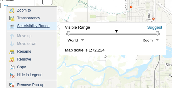
If you are talking about your own ArcGIS Server service then the is set in the ArcGIS Server Manager. See image
lIf you are talking about a service hosted on AGOL then follow this threads info:
Is it possible to change the Max Record Count on an AGOL hosted Feature service?