- Home
- :
- All Communities
- :
- Products
- :
- ArcGIS Pro
- :
- ArcGIS Pro Questions
- :
- Issue using a layer file to apply symbology in Arc...
- Subscribe to RSS Feed
- Mark Topic as New
- Mark Topic as Read
- Float this Topic for Current User
- Bookmark
- Subscribe
- Mute
- Printer Friendly Page
Issue using a layer file to apply symbology in ArcGIS Pro
- Mark as New
- Bookmark
- Subscribe
- Mute
- Subscribe to RSS Feed
- Permalink
- Report Inappropriate Content
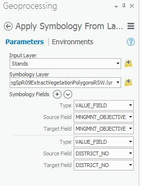
So i have a map withing an ArcGIS Pro project which contains a sewer line layer. I want to apply our standard symbology to this layer which allows me to identify the size and pipe material for each sewerline. I already have a layer file saved (both a lyr and a lyrx) which have the symbology settings predefined. When I try to import the symbology settings from the layer files, the layer ends up being symbolized using only one field even though I specified both the size and materials fields in the geoprocessing tool. If I add the the layer file directly as a new layer everything displays correctly.
So is anyone else having this issue?
- Mark as New
- Bookmark
- Subscribe
- Mute
- Subscribe to RSS Feed
- Permalink
- Report Inappropriate Content
I just tested an older layer file and created a new one, and I didn't run into the issue you are seeing. Are the field mappings showing up correctly in the tool before you hit the Run button?
- Mark as New
- Bookmark
- Subscribe
- Mute
- Subscribe to RSS Feed
- Permalink
- Report Inappropriate Content
Yes the field mappings are showing up correctly. It is not happening all the time. Just intermittently.
- Mark as New
- Bookmark
- Subscribe
- Mute
- Subscribe to RSS Feed
- Permalink
- Report Inappropriate Content
I have issues with the apply symbology in pro as well. I saved a layer file with the symbology set using the Defined Interval method with interval size of 15. When applying the symbology, Pro is resetting the defined interval to 1 and creating far too many classes.
If I simply add the saved symbology layer to the map everything looks correct with defined intervals of 15. It's only when using the apply symbology tool that it doesn't correctly apply the saved symbology. Seems as though tool is not reading all of the saved values in the symbology layer.
- Mark as New
- Bookmark
- Subscribe
- Mute
- Subscribe to RSS Feed
- Permalink
- Report Inappropriate Content
Seeing you have narrowed down the issue and can reproduce it consistently, I would open up an Esri Support case to report a bug. At this point, I don't think there is anything GeoNet users can offer besides workarounds, which you have already found one.