- Home
- :
- All Communities
- :
- Products
- :
- Data Management
- :
- Data Management Questions
- :
- Fishnet rotation angle creation problem?
- Subscribe to RSS Feed
- Mark Topic as New
- Mark Topic as Read
- Float this Topic for Current User
- Bookmark
- Subscribe
- Mute
- Printer Friendly Page
Fishnet rotation angle creation problem?
- Mark as New
- Bookmark
- Subscribe
- Mute
- Subscribe to RSS Feed
- Permalink
- Report Inappropriate Content
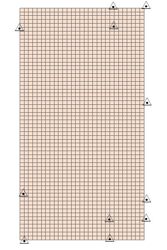
I have created a grid of width 67.056 and height 60.3504 making the boundary mark as a template extent. But its straight grid while i want its to rotate around -1.3 degree. Till here the size of the grid is appropriate but manual rotating through EDIT tool changes the area after three decimal places. Also guide me the Y-Axis coordinates using real world coordinate NOT those elaborated by ESRI as i m unable to understand it. The origin coordinate are 692989.52,3374721.27
- Mark as New
- Bookmark
- Subscribe
- Mute
- Subscribe to RSS Feed
- Permalink
- Report Inappropriate Content
Hi Muhammad, it is better to share one post in several places than to repost it, so that all the answers are in one place. Reading your question, I'm guessing that you are looking to Reproject your data into GCS coordinates, or lat/long. You can use the Project tool to do this. Be aware though, that this will change your area measurements.
- Mark as New
- Bookmark
- Subscribe
- Mute
- Subscribe to RSS Feed
- Permalink
- Report Inappropriate Content
It's more complicated than that, because this is also a repost of gis.stackexchange.com traffic.
The problem remains one of coordinate reference precision, and what a 1mm precsision really means, in addition to understanding basic trigonometry (which is particularly important when trying to rotate a study area smaller than a football pitch).
- V
- Mark as New
- Bookmark
- Subscribe
- Mute
- Subscribe to RSS Feed
- Permalink
- Report Inappropriate Content
- Don't rotate manually in edit mode, create it appropriately using the suggestions in your previous post.
- If the input file doesn't have a defined coordinate system before you start doing anything with it, you are going to get geometry simplifications/errors.
- Also, edit the link in your post above so that people can link to it... it hangs
- I have provided it here Fishnet rotation angle creation problem? to that others can follow it.
- Also indicate what didn't work with the other suggestions?
That about covers it