- Home
- :
- All Communities
- :
- Products
- :
- ArcGIS Pro
- :
- ArcGIS Pro Questions
- :
- How to display 3D point data in ArcGIS Pro?
- Subscribe to RSS Feed
- Mark Topic as New
- Mark Topic as Read
- Float this Topic for Current User
- Bookmark
- Subscribe
- Mute
- Printer Friendly Page
- Mark as New
- Bookmark
- Subscribe
- Mute
- Subscribe to RSS Feed
- Permalink
- Report Inappropriate Content
Hi,
I am working with earthquake data and I want to show the depth of each incident but I can´t display it in ArcGIS Pro. I added my point data, It showed as a 3d layer. However, when I changed the appearance to extrude my point features, they were no longer visible. I tried displaying this data using ArcScene and it worked just fine. Is there any configuration that I need to do before displaying 3D point data in ArcGIS Pro?
Attached is an image of how my data looks in ArcScene.
Solved! Go to Solution.
Accepted Solutions
- Mark as New
- Bookmark
- Subscribe
- Mute
- Subscribe to RSS Feed
- Permalink
- Report Inappropriate Content
Gabo - go to the Layer Properties -> Elevation and set the "Features are: Relative to the Ground." What is your result?
- Mark as New
- Bookmark
- Subscribe
- Mute
- Subscribe to RSS Feed
- Permalink
- Report Inappropriate Content
Gabo - go to the Layer Properties -> Elevation and set the "Features are: Relative to the Ground." What is your result?
- Mark as New
- Bookmark
- Subscribe
- Mute
- Subscribe to RSS Feed
- Permalink
- Report Inappropriate Content
Hi Robert,
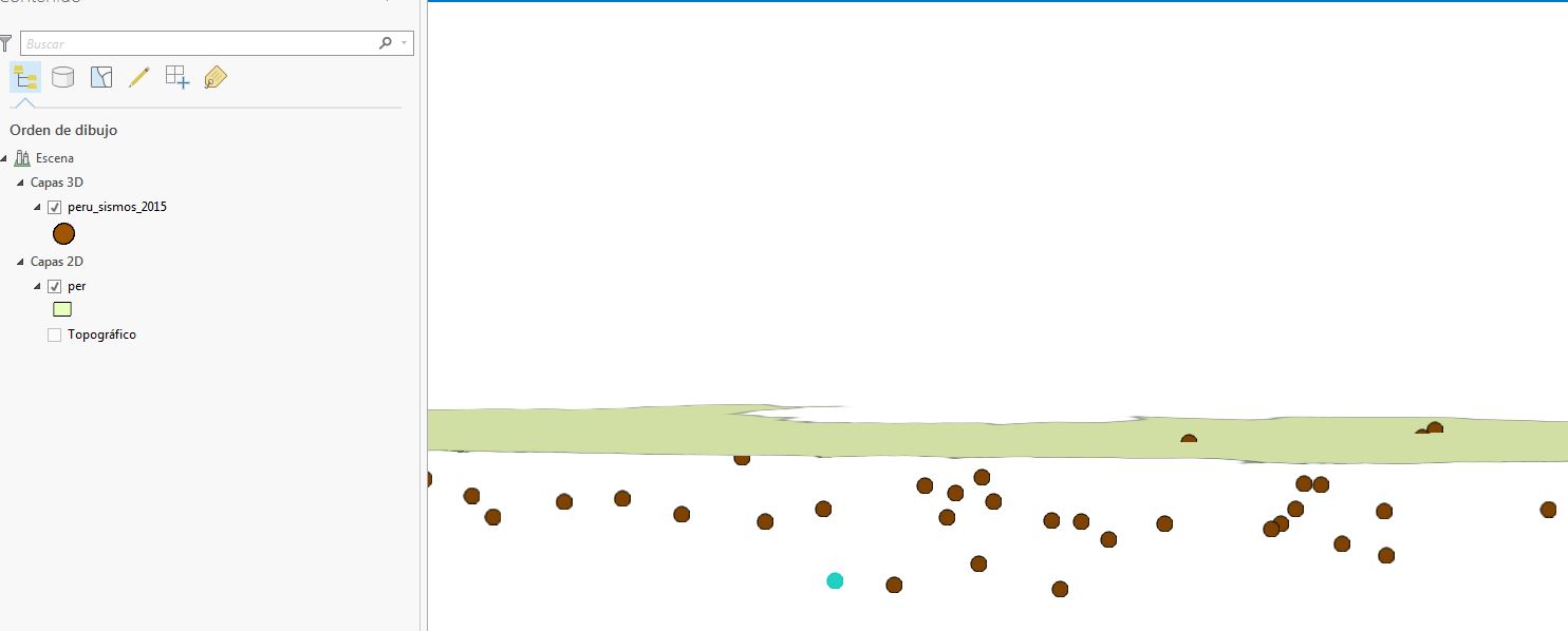
It did work, although the points displayed completely different as they did in ArcScene, and the points disappear when I zoom out, or when I just navigate around. Any thoughts why this is happening?
Thanks
- Mark as New
- Bookmark
- Subscribe
- Mute
- Subscribe to RSS Feed
- Permalink
- Report Inappropriate Content
never mind!..problem solved!
- Mark as New
- Bookmark
- Subscribe
- Mute
- Subscribe to RSS Feed
- Permalink
- Report Inappropriate Content
Hi Gabriel,
How was this solved?
Cheers,
- Mark as New
- Bookmark
- Subscribe
- Mute
- Subscribe to RSS Feed
- Permalink
- Report Inappropriate Content
Hi,, I have a similiar question, I have depht data and I configured the elevation as relative to the ground but the data are taken like height and not like depth, what else I have to do? Thanks
- Mark as New
- Bookmark
- Subscribe
- Mute
- Subscribe to RSS Feed
- Permalink
- Report Inappropriate Content
Hi Yorlady, attached is the source for a Data Interpoerability Spatial ETL tool that converts USGS-style quake feed GeoJSON to file geodatabase including writing to a custom feature dataset that enables Z values below the default domain limit of -10000. Note the startup script. The conversion is from kilometres depth positive down to metres positive up.