- Home
- :
- All Communities
- :
- Developers
- :
- JavaScript Maps SDK
- :
- JavaScript Maps SDK Questions
- :
- what is the best practice for using ClassBreaksRen...
- Subscribe to RSS Feed
- Mark Topic as New
- Mark Topic as Read
- Float this Topic for Current User
- Bookmark
- Subscribe
- Mute
- Printer Friendly Page
what is the best practice for using ClassBreaksRender in buffer searching?
- Mark as New
- Bookmark
- Subscribe
- Mute
- Subscribe to RSS Feed
- Permalink
- Report Inappropriate Content
Referring to this topic, I can search the result within a drawn polygon, however it requires me to set a template for returned result:
var symbol = new SimpleMarkerSymbol(
SimpleMarkerSymbol.STYLE_CIRCLE,
12,
new SimpleLineSymbol(
SimpleLineSymbol.STYLE_NULL,
new Color([247, 34, 101, 0.9]),
1
),
new Color([207, 34, 171, 0.5])
);
featureLayer.setSelectionSymbol(symbol);
It works fine, but I want to make every returned records have its own color which is determined by its attributes value, i.e. blue color represents cars, yellow represents building, etc...
featureLayer.queryFeatures(query, function (featureSet) {
var inBuffer = [];
var renderer = new ClassBreaksRenderer(null, "category_id");
renderer.setMaxInclusive(true);
var categoryColorList = [];
var inBuffer = [];
for (var i = 0; i < featureSet.features.length; i++) {
if (featureSet.features.geometry == null)
continue;
inBuffer.push(featureSet.features.attributes[featureLayer.objectIdField]);
var rcolor = new Color([Math.floor((Math.random() * 255) + 1), Math.floor((Math.random() * 255) + 1), Math.floor((Math.random() * 255) + 1)]);
if (typeof eval("categoryColorList._" + featureSet.features.attributes.category_id)
== "undefined") {
eval("categoryColorList._" + featureSet.features.attributes.category_id + " = rcolor");
}
var symbol = new SimpleMarkerSymbol({
"color": eval("categoryColorList._" + featureSet.features.attributes.category_id),
"size": 5,
"angle": 0,
"xoffset": 0,
"yoffset": 0,
"type": "esriSMS",
"style": "esriSMSSquare",
"outline": { "color": eval("categoryColorList._" + featureSet.features.attributes.category_id), "width": 1, "type": "esriSLS", "style": "esriSLSSolid" }
});
renderer.addBreak({
field: "category_id",
minValue: featureSet.features.attributes.category_id,
maxValue: featureSet.features.attributes.category_id,
symbol: symbol
});
}
query = new Query();
query.objectIds = inBuffer;
(function (featureLayer) {
featureLayer.selectFeatures(query, esri.layers.FeatureLayer.SELECTION_NEW, function (results) {
featureLayer.refresh();
});
})(featureLayer);
});
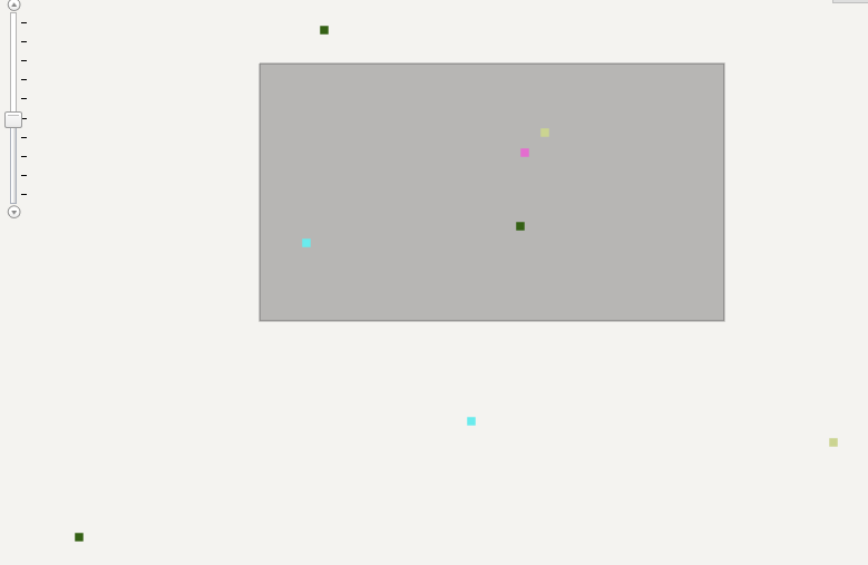
Although within the polygon, the results are returned, the related records outside the polygon are also being shown. I was wondering if someone could let me know if there are something else that I should care about. I am not going to use graphic layer to store the returned result because I want to keep things simple, with only 1 feature layer, thanks you.

Solved! Go to Solution.
Accepted Solutions
- Mark as New
- Bookmark
- Subscribe
- Mute
- Subscribe to RSS Feed
- Permalink
- Report Inappropriate Content
Stephen,
That sample uses a Featurelayer that is already drawing ALL the layers feature and then just selecting the features that intersect the buffer and applies a symbol to the selected features. The way That I suggest that you go is to change the FeatureLayer to MODE_SELECTION that way none of the feature show until your buffer is done and then all your other code will be fine.
- Mark as New
- Bookmark
- Subscribe
- Mute
- Subscribe to RSS Feed
- Permalink
- Report Inappropriate Content
Thank you.