- Home
- :
- All Communities
- :
- Developers
- :
- Native Maps SDKs
- :
- Runtime SDK WPF (Retired) Ques
- :
- What qualifies as an 'Object' on an ArcMap Layout?
- Subscribe to RSS Feed
- Mark Topic as New
- Mark Topic as Read
- Float this Topic for Current User
- Bookmark
- Subscribe
- Mute
- Printer Friendly Page
What qualifies as an 'Object' on an ArcMap Layout?
- Mark as New
- Bookmark
- Subscribe
- Mute
- Subscribe to RSS Feed
- Permalink
- Report Inappropriate Content
So, I am thinking about an upcoming programming challenge where something rather like a table, but requiring many of the extra things (events, full graphical drawing control) that say WPF or other .net facilities provide, is a working part of a layout. I poked around with various documentation, but don't see what I'd have to do to wrap my custom table such that it could be placed on the layout.
- Mark as New
- Bookmark
- Subscribe
- Mute
- Subscribe to RSS Feed
- Permalink
- Report Inappropriate Content
Hi Chuck,
I was thinking about this same thing a while back and I think it may be for the same issue. I did not think of it as a table, but rather as an object that could be handled like you are suggesting. What I came up with, which was just a thought, mind you at a bar, would be to have something like a BLOB stored in a feature class, and the "object" on the layout would be a a feature in the Feature Class.
When the object is selected an possibly via a right click or something, retrieve the object and instantiate it and have it do what is needed, like a detail drawing. This issue of course is tracing, but if you use a "Facility" network and not a Geographic network then this could be possible as the object could store what is needed. Again not fully worked out but I understand the issue, which is "detail drawings" or to use another term "Internal Worlds". Let me know if you would like to brain storm...
PS> I Like the Soccer Ball, my son is playing Classic 1 U19 this year...
- Mark as New
- Bookmark
- Subscribe
- Mute
- Subscribe to RSS Feed
- Permalink
- Report Inappropriate Content
Hi, Rich! Good to hear from you!
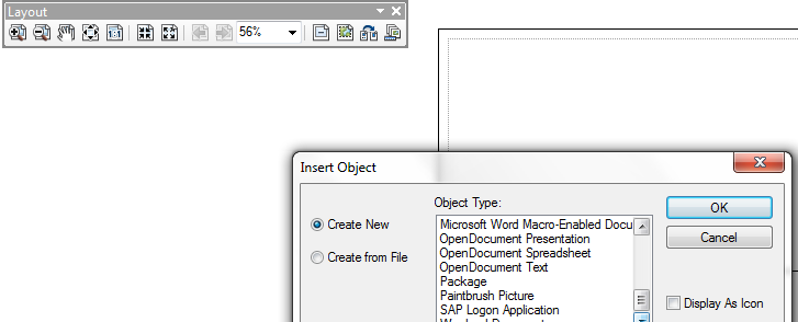
U19 Classic: wow, they're big and fast and play hard and well. Really not like watching Tee Ball!
I have long been fascinated with, but never got into, internal worlds. This one, though, had more to do with what COM interface, or other mechanism, would you have to do in order to make your custom object (whatever its purpose) be something you could add to a layout. You may not have had to get that far into CE's primary maps, but they basically have just the feeder, with each point of control or intervention displayed on the map, with a letter designation, and a table off in whitespace the lists all the letters and operational stuff about the location. So, it's almost doable with just a Esri table that has multilines and formatting tags, but then it also has some graphics and interaction that would be relatively easy with a .net table (WPF or System.Windows.Forms, DataView etc) but not clearly doable in an Esri table...so that's why I am trying to know just what (COM Registration of some kind I guess) makes that dropdown list of supported object types on a layout...