Turn on suggestions
Auto-suggest helps you quickly narrow down your search results by suggesting possible matches as you type.
Cancel
- Home
- :
- All Communities
- :
- Products
- :
- Data Management
- :
- Data Management Questions
- :
- Euclidean Distance in Global Datasets
Options
- Subscribe to RSS Feed
- Mark Topic as New
- Mark Topic as Read
- Float this Topic for Current User
- Bookmark
- Subscribe
- Mute
- Printer Friendly Page
Euclidean Distance in Global Datasets
Subscribe
648
1
02-07-2014 12:02 AM
by
Anonymous User
Not applicable
02-07-2014
12:02 AM
- Mark as New
- Bookmark
- Subscribe
- Mute
- Subscribe to RSS Feed
- Permalink
- Report Inappropriate Content
Original User: tonalca6864
Hi,
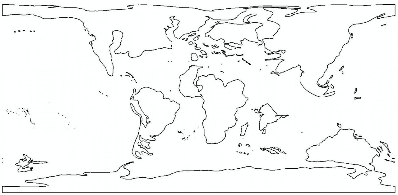
I need to do some euclidean distance on a global scale. I find that there is no a natural continuation at the edges due to the Maximum distance option set to default. I've tried with different values always with the same output.
I wonder if someone can suggest a way round this so I can get a continuous raster dataset instead of a sharp differentiation at the edges.
Please see images attached.
Many thanks
[ATTACH=CONFIG]31210[/ATTACH]
[ATTACH=CONFIG]31211[/ATTACH]
[ATTACH=CONFIG]31212[/ATTACH]
Hi,
I need to do some euclidean distance on a global scale. I find that there is no a natural continuation at the edges due to the Maximum distance option set to default. I've tried with different values always with the same output.
I wonder if someone can suggest a way round this so I can get a continuous raster dataset instead of a sharp differentiation at the edges.
Please see images attached.
Many thanks
[ATTACH=CONFIG]31210[/ATTACH]
[ATTACH=CONFIG]31211[/ATTACH]
[ATTACH=CONFIG]31212[/ATTACH]
1 Reply
by
Anonymous User
Not applicable
02-12-2014
04:41 PM
- Mark as New
- Bookmark
- Subscribe
- Mute
- Subscribe to RSS Feed
- Permalink
- Report Inappropriate Content
Original User: swalbridge
The Euclidean Distance tool isn't geodesic aware, and assumes that the analysis is being performed Cartesian space (i.e. there's no relationship between -180 and 180). There are a few ways to fix this, perhaps the simplest is to use the tools within Data Management > Projections and Transformations > Raster, in particular Shift, to create a version which spans 0-360 degrees, centered on the -180/180 anti-meridian. From there, you should be able to perform a second Euclidean distance calculation and get more sensible results, then merge those two results back together.
But probably better than just doing this is to use a projected space for your analysis -- in unprojected space, measurements of distance vary both by latitude and longitude, so particularly as you head to the poles, the distance of one cell shifts pretty dramatically. A couple of ways of dealing with this include rescaling distances by how far they are from the equator, or using a projected space for your calculations. Using a projection is probably your best bet if you need precision in the answer.
cheers,
Shaun