Turn on suggestions
Auto-suggest helps you quickly narrow down your search results by suggesting possible matches as you type.
Cancel
- Home
- :
- All Communities
- :
- Industries
- :
- Water Resources
- :
- Water Resources Questions
- :
- Geodatabase Design - Topology/Relationship Classes...
Options
- Subscribe to RSS Feed
- Mark Topic as New
- Mark Topic as Read
- Float this Topic for Current User
- Bookmark
- Subscribe
- Mute
- Printer Friendly Page
Geodatabase Design - Topology/Relationship Classes - Help
Subscribe
429
0
08-09-2010 10:49 AM
08-09-2010
10:49 AM
- Mark as New
- Bookmark
- Subscribe
- Mute
- Subscribe to RSS Feed
- Permalink
- Report Inappropriate Content
The reason that I have decided to place my post under ArcHydro is my database is dealing with hydrology, specifically wetlands. We have been appointed by a governmental organisation to manage the rehabilitation of wetlands for South Africa. The project has been running for the last 6 years with little or no GIS usage. I need to figure out how to design my database to store and work with the spatial features to minimize human error and to better faciliate the use of GIS to manage the project.
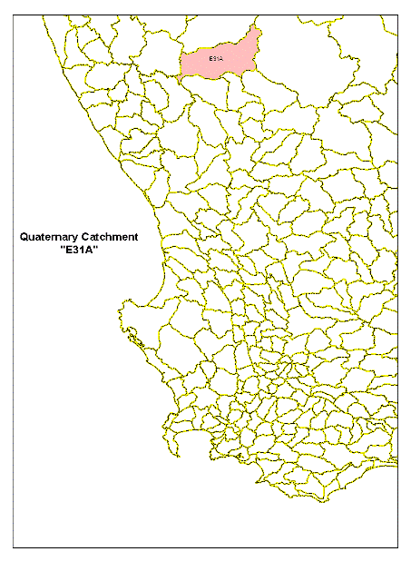
The project has numerous groups of people working on the project which most of them have little or no GIS experience. The process involves the indentification of wetlands accross the country which are initially hand delineated on desktop using ortho photos. The wetlands will be named after the the quaternary catchment in which the wetland is found followed by a hypen and a two digit number. (I've attached bitmaps to assist)
DEA a governmental organisation responsible for water resource management in South Africa has generated a hydrological catchment system starting with Primary, Secondary, Tertiary and Quaternary catchments the smallest hydrological catchment.
So the second wetland found in quaternary catchment "G30F" would be named "G30F-02". Once the areas within wetlands are identified where rehabilitation work needs to be carried out, the wetlander occompanied with an engineer would visit the site to identify a location where the structure needs to be errected to facilitate in the rehabilitation of the wetland. A GPS coordinate is taken for each intervention within each wetland where work will be carried out. The intervention points are numbered based on the wetland number followed by a hypen and a three digit number. The fourth intervention within wetland "G30F-02" would be named "G30F-02-004".
I have three primary spatial features that I need to use to manage the process for over 600 interventions per year over a three year appointment, they are "Quaternary Catchments" (Polygon); Wetlands (Polygon) and Interventions (Point).
Currently the wetland number and the intervention numberare manually typed into a text field, which has allowed for alot of human error and inconsistancy in the naming convention of the wetlands and interventions. I would like to perform spatial as well as sql querries between the wetland polygons and the interventions without the need of having to create a redundant field in order to join the two spatial features. The reason that I say this is because the wetland number is stored as text due to the format there is no way of associating it with the intervention number which in fact is the wetland number with the intervention number attached. I would also like to querry the intervention and retrieve the bill of quantities for each intervention and manage the progress from implementation to maintenance of each intervention. I 've also attached a sample of the wetlands and intervention features (HandOver.gdb).
Any advice and assistance will truly be appreciated.
Regards
0 Replies