- Home
- :
- All Communities
- :
- Products
- :
- ArcGIS Spatial Analyst
- :
- ArcGIS Spatial Analyst Questions
- :
- Handling 2s in cost path analysis ouput ArcMap 10....
- Subscribe to RSS Feed
- Mark Topic as New
- Mark Topic as Read
- Float this Topic for Current User
- Bookmark
- Subscribe
- Mute
- Printer Friendly Page
Handling 2s in cost path analysis ouput ArcMap 10.1
- Mark as New
- Bookmark
- Subscribe
- Mute
- Subscribe to RSS Feed
- Permalink
- Report Inappropriate Content
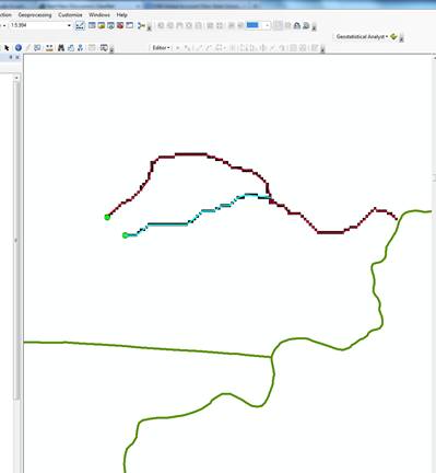
I am trying to compute shortest distance to stream from various point locations on the landscape. I am using the cost path tool in spatial analyst to do this . I am using a DEM as a cost distance raster and flow direction raster as a cost back link raster. The tool runs fine. What I see is where there are points close to each other multiple paths merge( as it is supposed to according to the algorithm).
"When multiple paths merge and follow the remaining distance back to a source on the same route, the segment where the two paths travel together is assigned the value 2. The merged portion of the path cannot be assigned the value of one of the paths, since the merged portion belongs to both routes."
I am later converting this cost path raster layer to a polyline to compute geographic distances of each path. But the problem is with these lines coded as "2". They are not attached to the parent line. How do I covert cost path to polylines( one line for each point from source to destination). Any help would be greatly appreciated.I tried the unsplit lines tool but it still puts the "2s" as separate line segment.
- Mark as New
- Bookmark
- Subscribe
- Mute
- Subscribe to RSS Feed
- Permalink
- Report Inappropriate Content
have you tried converting the path(s) to vector and make your edits there?