- Home
- :
- All Communities
- :
- Industries
- :
- Water Resources
- :
- Water Resources Questions
- :
- Re: HydroWatershed Analysis
- Subscribe to RSS Feed
- Mark Topic as New
- Mark Topic as Read
- Float this Topic for Current User
- Bookmark
- Subscribe
- Mute
- Printer Friendly Page
- Mark as New
- Bookmark
- Subscribe
- Mute
- Subscribe to RSS Feed
- Permalink
- Report Inappropriate Content
Dear Esri Members,
I was attempting to conduct research on a section of the Amazon River Basin and was attempting to find connecting rivers, however, I am only able to see these connecting rivers once I zoom in.  Above is my computer image after I process my Digital Elevation Model->Perform the Fill Function-> and then run the Flow Accumulation Function.
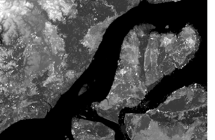
Below is the image of DEM model.
I also wonder why the large Amazon river doesnt register as flow accumulation point in the model
Solved! Go to Solution.
Accepted Solutions
- Mark as New
- Bookmark
- Subscribe
- Mute
- Subscribe to RSS Feed
- Permalink
- Report Inappropriate Content
Ok, since your cell size is small and the area large, you are going to have to take some extra steps as shown in this link How Flow Accumulation works—Help | ArcGIS for Desktop then you may want to convert to a polyline using
Raster to Polyline—Help | ArcGIS for Desktop or Stream to Feature—Help | ArcGIS for Desktop if you have all the necessary data.
- Mark as New
- Bookmark
- Subscribe
- Mute
- Subscribe to RSS Feed
- Permalink
- Report Inappropriate Content
it is because of the colour ramp you are using, reverse it and/or change the black colour range to white
- Mark as New
- Bookmark
- Subscribe
- Mute
- Subscribe to RSS Feed
- Permalink
- Report Inappropriate Content
Hey Mr.Patterson
I did think of that, and tried it

but as you can see you can barely see it...if I want to look at the DEM picture as a whole.
- Mark as New
- Bookmark
- Subscribe
- Mute
- Subscribe to RSS Feed
- Permalink
- Report Inappropriate Content
Ok, since your cell size is small and the area large, you are going to have to take some extra steps as shown in this link How Flow Accumulation works—Help | ArcGIS for Desktop then you may want to convert to a polyline using
Raster to Polyline—Help | ArcGIS for Desktop or Stream to Feature—Help | ArcGIS for Desktop if you have all the necessary data.
- Mark as New
- Bookmark
- Subscribe
- Mute
- Subscribe to RSS Feed
- Permalink
- Report Inappropriate Content
You may also try to convert it to another color
Ex.

but this is even while zoomed in at (1:200,000)
I am also wondering why the actual Amazon river does not seem to register (the straight white line is where it should be)
- Mark as New
- Bookmark
- Subscribe
- Mute
- Subscribe to RSS Feed
- Permalink
- Report Inappropriate Content
Since the area river is very large, you need to additional steps like Dan wrote. Then try to reclass the Flow accumulation to se only the stream accumulation. reclass the raster[0 and 1]. Now if you want you can save the accumulation in the feature class with the tool Raster to Polyline