Turn on suggestions
Auto-suggest helps you quickly narrow down your search results by suggesting possible matches as you type.
Cancel
- Home
- :
- All Communities
- :
- User Groups
- :
- State and Local - Environment and Natural Resources
- :
- Questions
- :
- How to fix my CSV file containing a WKT field erro...
Options
- Subscribe to RSS Feed
- Mark Topic as New
- Mark Topic as Read
- Float this Topic for Current User
- Bookmark
- Subscribe
- Mute
- Printer Friendly Page
How to fix my CSV file containing a WKT field error?
Subscribe
382
1
08-03-2018 09:45 AM
08-03-2018
09:45 AM
- Mark as New
- Bookmark
- Subscribe
- Mute
- Subscribe to RSS Feed
- Permalink
- Report Inappropriate Content
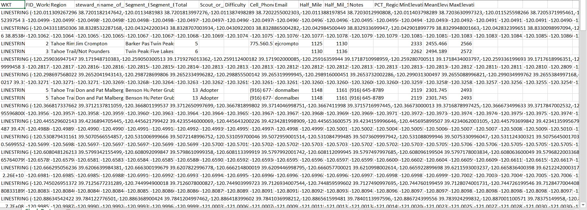
The CSV created from a shapefile contains a WKT field has the Linestring spilling over into other fields. The CSV draws just fine in QGIS, but I need to be able to view the CSV in Excel as well. Some features are articulated properly in the CSV, but on a map I cannot see any discernible difference between various line segments.
1 Reply
08-03-2018
10:19 AM
- Mark as New
- Bookmark
- Subscribe
- Mute
- Subscribe to RSS Feed
- Permalink
- Report Inappropriate Content
How did you make the CSV?