- Home
- :
- All Communities
- :
- User Groups
- :
- New Zealand GIS in Schools Geomentor Community
- :
- Blog
- :
- More than just NCEA - Expand the use of GIS
More than just NCEA - Expand the use of GIS
- Subscribe to RSS Feed
- Mark as New
- Mark as Read
- Bookmark
- Subscribe
- Printer Friendly Page
- Report Inappropriate Content
Many of the teachers that you are mentoring might be focused on providing options for GIS at NCEA Level 1, 2 and 3. While this is important, GIS can be used in other areas of the geography curriculum, as well as in other subject areas.
For Example, below is a link to a Story Map that shows how GIS can be used to teach Geographic Skills
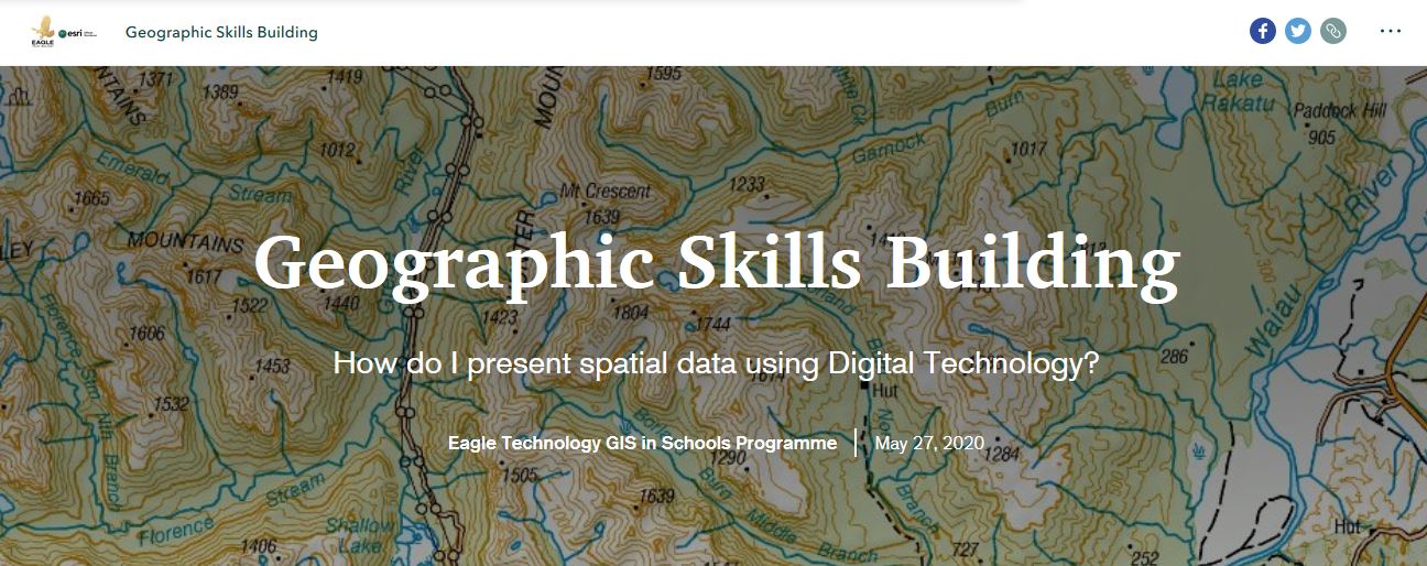
Geographic Skills Building Story Map
Or you can use GIS it teach about earthquakes
Earthquakes Learning Guide using GIS - An ArcGIS StoryMaps
 | Or is the mathematics department is interested in incorporating digital technology in their classrooms - GIS can be the tool they could use. Esri has some short lessons in Mathematics to help with this implementation - these lessons can be found at GeoInquiries for Math | Algebra Activities Using GIS . Good news these GIS based mathematics lessons don't require an ArcGIS Online username and password to use so that takes some of the complexity out of implementing them. |
Or the history department might be interested in using GIS. Below are some helpful resources specific to topics that we teach in NZ
and some more generic short GIS based history lessons GeoInquiries for World History | Inquiry-Based Activities |
You must be a registered user to add a comment. If you've already registered, sign in. Otherwise, register and sign in.
-
Career & Tech Ed
2 -
Careers
1 -
Geography
1 -
Geomentor
5 -
Geomentoring
1 -
GIS in Schools
1 -
GISDay
1 -
NZ
1 -
NZGISinSchools
10 -
Pepeha
1 -
SSO
1