- Home
- :
- Community Resources
- :
- Member Introductions
- :
- How can I create a surface beneath a DEM (raster) ...
- Subscribe to RSS Feed
- Mark Topic as New
- Mark Topic as Read
- Float this Topic for Current User
- Bookmark
- Subscribe
- Mute
- Printer Friendly Page
How can I create a surface beneath a DEM (raster) that is not flat?
- Mark as New
- Bookmark
- Subscribe
- Mute
- Subscribe to RSS Feed
- Permalink
- Report Inappropriate Content
Hello everyone,
I want to create a surface beneath a DEM, in order to very simply estimate the volume of the area between this flat surface and the DEM.
In other words, I want to restore the slope of an area to how it was before the avalanche(s) occurred, in order to understand how large the avalanche was (or atleast get a rough idea).
I am able to create a polygon underneath the DEM, however this is completely flat (no Z-values).
Ways of doing this:
1. Manually create points on the avalanche fan that I guesstimate to be the thickness of the fan at several locations -> Create a raster with the "TopoToRaster" tool and then use "Minus" and Zonal Statistics to get a volume.
2. Any suggestions?
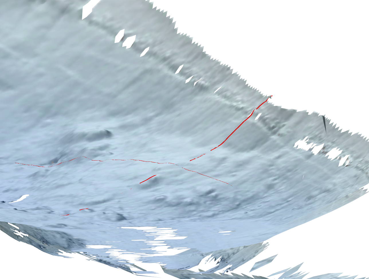
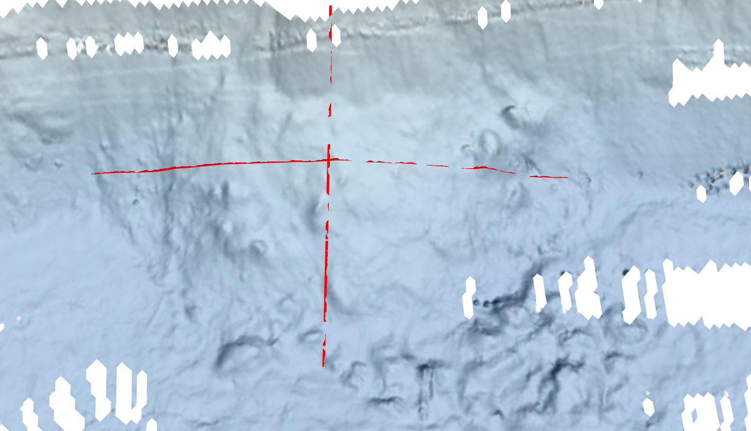
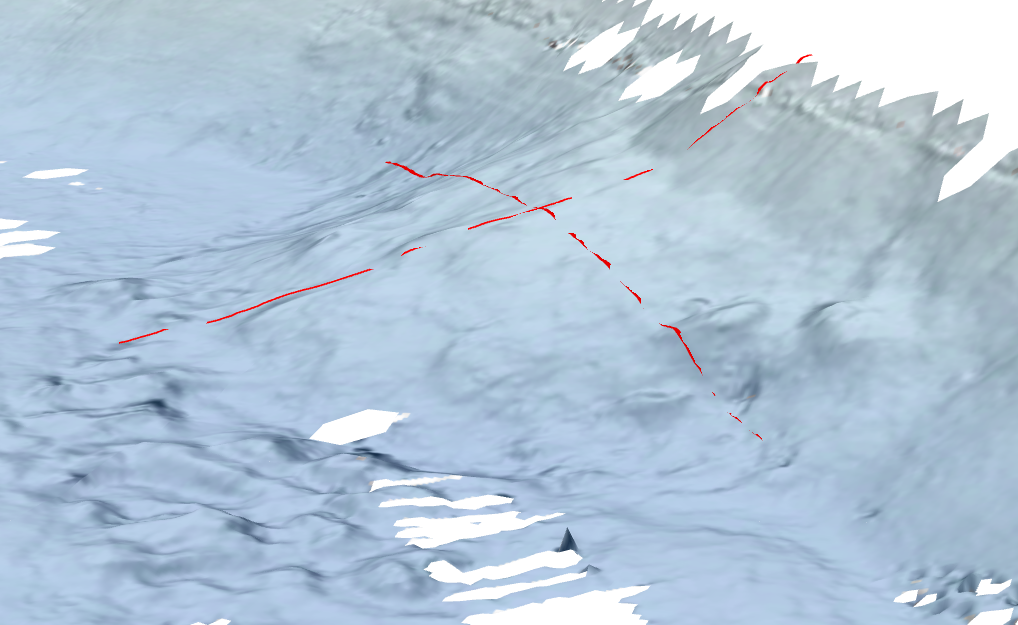
I've added several images of the avalanche fan, both above and below the DEM surface. I added a few lines on the fan in order to follow where the camera is viewing from.
Thank you for any help in this issue!
- Mark as New
- Bookmark
- Subscribe
- Mute
- Subscribe to RSS Feed
- Permalink
- Report Inappropriate Content
- create points around the avalanche fan on important DEM features
- e.g. for 1.png:
- e.g. for 1.png:
- Extract the heigths of those points
https://pro.arcgis.com/de/pro-app/latest/tool-reference/spatial-analyst/extract-values-to-points.htm - Interpolate an estimated terrain without avalanche
https://pro.arcgis.com/de/pro-app/2.7/tool-reference/spatial-analyst/idw.htm- use your DEM as snap raster and for cell size

Have a great day!
Johannes
- Mark as New
- Bookmark
- Subscribe
- Mute
- Subscribe to RSS Feed
- Permalink
- Report Inappropriate Content
Thank you!
I actually tried that. My issue with this was that the surface I create from those points (I drew a line and added points every meter, so 1000s of points) actually leaves out the major part of the thickness, because the fan flattens out near the bottom. So by connecting top and bottom points (N-S if you will on the 1.png), it cuts through quite significantly.
I guess there's not many other ways of doing it without any knowledge of the depth beneath the avalanche fan.
Have a good day!
Thomas
- Mark as New
- Bookmark
- Subscribe
- Mute
- Subscribe to RSS Feed
- Permalink
- Report Inappropriate Content
I mean, yeah, ideally you would have a DEM from right before the avalanche...
If interpolating the original DEM doesn't work, you can try interpolating the thickness of the avalance fan (basically your fist method)
- guess or measure (if it's safe to go on the avalanche fan) the thickness at various points
- including points outside of the fan with thickness = 0
- interpolate a thickness raster
- use the Raster Calculator to get the original DEM
- actually, you don't need this, just run the statistics on the thickness raster...
Have a great day!
Johannes