- Home
- :
- All Communities
- :
- Products
- :
- Mapping
- :
- Map Advice Community Questions
- :
- Re: Labels show, even though layer is covered by a...
- Subscribe to RSS Feed
- Mark Topic as New
- Mark Topic as Read
- Float this Topic for Current User
- Bookmark
- Subscribe
- Mute
- Printer Friendly Page
Labels show, even though layer is covered by another layer
- Mark as New
- Bookmark
- Subscribe
- Mute
- Subscribe to RSS Feed
- Permalink
- Report Inappropriate Content
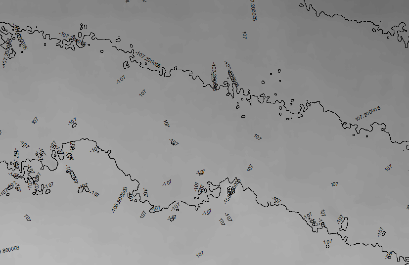
I have a map with a raster layer, overlaid by a contours layer with labels. I also want to show contours from previous projects outside of our current project area and have copied that contours layer, changed the definition query and labeled them the same way. The feature lines itself are not visible but the labels are! They shine through the raster layer.
I tried a couple of things explained here, such as a polygon layer (didn't help), SQL query on new field (unpractical, since the old project data comes from our sde) or checking the "Advanced Drawing Option" settings in the data frame, which works like a charm, masks out all features inside of our raster extent but the labels are STILL THERE 
The ultimate solution for now was to create an annotation layer in the gdb. But I am wondering, if I didn't see some settings in the label properties (both standard labeling and maplex)? And why is this even happening? Why have labels the highest weight and won't be covered by overlaying layers?
- Mark as New
- Bookmark
- Subscribe
- Mute
- Subscribe to RSS Feed
- Permalink
- Report Inappropriate Content
You need to use masking.
- Mark as New
- Bookmark
- Subscribe
- Mute
- Subscribe to RSS Feed
- Permalink
- Report Inappropriate Content
Hi Robert,
Thanks for your reply! Masking on what? Like the option I found with Advanced Drawing Option? Else I just now found the tool Feature Outline Mask. Is it that what you mean?
- Mark as New
- Bookmark
- Subscribe
- Mute
- Subscribe to RSS Feed
- Permalink
- Report Inappropriate Content
Right click on your Data Frame in the contents pane and select Advanced Drawing Options.
There will be a check box to use Masking Options. you can use a Polygon layer to mask other layers
- Mark as New
- Bookmark
- Subscribe
- Mute
- Subscribe to RSS Feed
- Permalink
- Report Inappropriate Content
This is what I tried! The features disappear but the labels stay! At least in my experience...
- Mark as New
- Bookmark
- Subscribe
- Mute
- Subscribe to RSS Feed
- Permalink
- Report Inappropriate Content
Hi,
We have a request in for the labels to use the raster as a barrier. Until it is resolved there are a couple workarounds that you can use.
1. convert your labels to annotation and move them under the raster in the toc/contents pane. they will then draw with the layer instead of last and overtop of the raster.
2. create a polygon feature the same size as the raster. you can then weight this polygon so that no labels place on top of it.
thanks
Wendy