- Home
- :
- All Communities
- :
- Learning
- :
- ArcGIS Tutorials
- :
- ArcGIS Tutorials Questions
- :
- Re: "Fit to Screen" won't work when georeferencing...
- Subscribe to RSS Feed
- Mark Topic as New
- Mark Topic as Read
- Float this Topic for Current User
- Bookmark
- Subscribe
- Mute
- Printer Friendly Page
"Fit to Screen" won't work when georeferencing!
- Mark as New
- Bookmark
- Subscribe
- Mute
- Subscribe to RSS Feed
- Permalink
- Report Inappropriate Content
Hi all,
I am looking to georeference a scanned in paper map. I created the .tif file, set a transparent background, and loaded up in ArcGIS Pro.
I'm using this video as a guide (yes, I'm a newbie):
Georeferencing an Image in ArcGIS Pro - YouTube
The image gets loaded up, just like in the video, tiny and floating in space. However, when I select "georeference," the "Fit to Screen" option is greyed out. Help! I can't get the thing near the actual area.
Any thoughts?
- Mark as New
- Bookmark
- Subscribe
- Mute
- Subscribe to RSS Feed
- Permalink
- Report Inappropriate Content
Do you have appropriate data already displayed on your map? By appropriate, I mean the GIS feature or features you intend to rectify your tiff image to.
- Mark as New
- Bookmark
- Subscribe
- Mute
- Subscribe to RSS Feed
- Permalink
- Report Inappropriate Content
I believe so. Here is the .tif, floating somewhere in the Gulf of Mexico.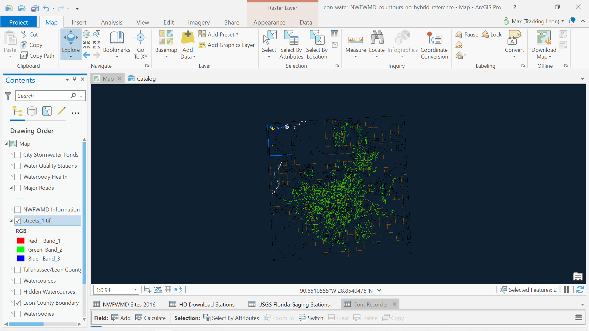
Then, I zoom to the layer (Leon County Boundary Line), select streets_1.tif, and then hit Georeference. "Fit to Display" is greyed out.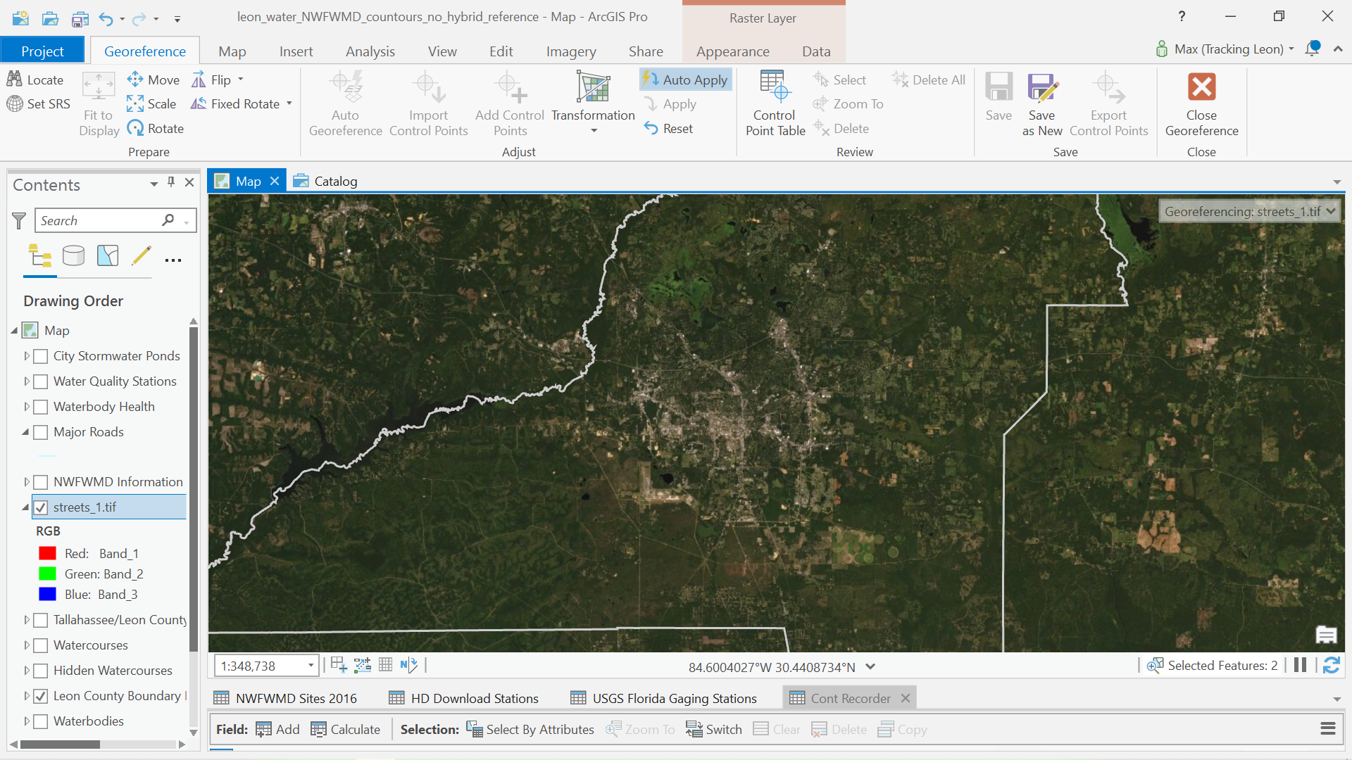
Thanks for the input.
- Mark as New
- Bookmark
- Subscribe
- Mute
- Subscribe to RSS Feed
- Permalink
- Report Inappropriate Content
Not sure what's going on, but here are some screen captures on how I do it with a plat map. In the first screen capture you will see that I have the data I want to (Parcels) as well as my tif (Plan.tif) in my table of contents. The map is zoomed in to the area in which I will rectify the tif image.

Next, I choose the Imagery tab and with the plan.tif selected in the table of contents I choose georeference and then fit to display. It's not a bad match for me:

Now I'm ready to add my control points.