- Home
- :
- All Communities
- :
- Products
- :
- ArcGIS Drone2Map
- :
- ArcGIS Drone2Map Questions
- :
- Vertical Reference in Drone 2 Map
- Subscribe to RSS Feed
- Mark Topic as New
- Mark Topic as Read
- Float this Topic for Current User
- Bookmark
- Subscribe
- Mute
- Printer Friendly Page
Vertical Reference in Drone 2 Map
- Mark as New
- Bookmark
- Subscribe
- Mute
- Subscribe to RSS Feed
- Permalink
- Report Inappropriate Content
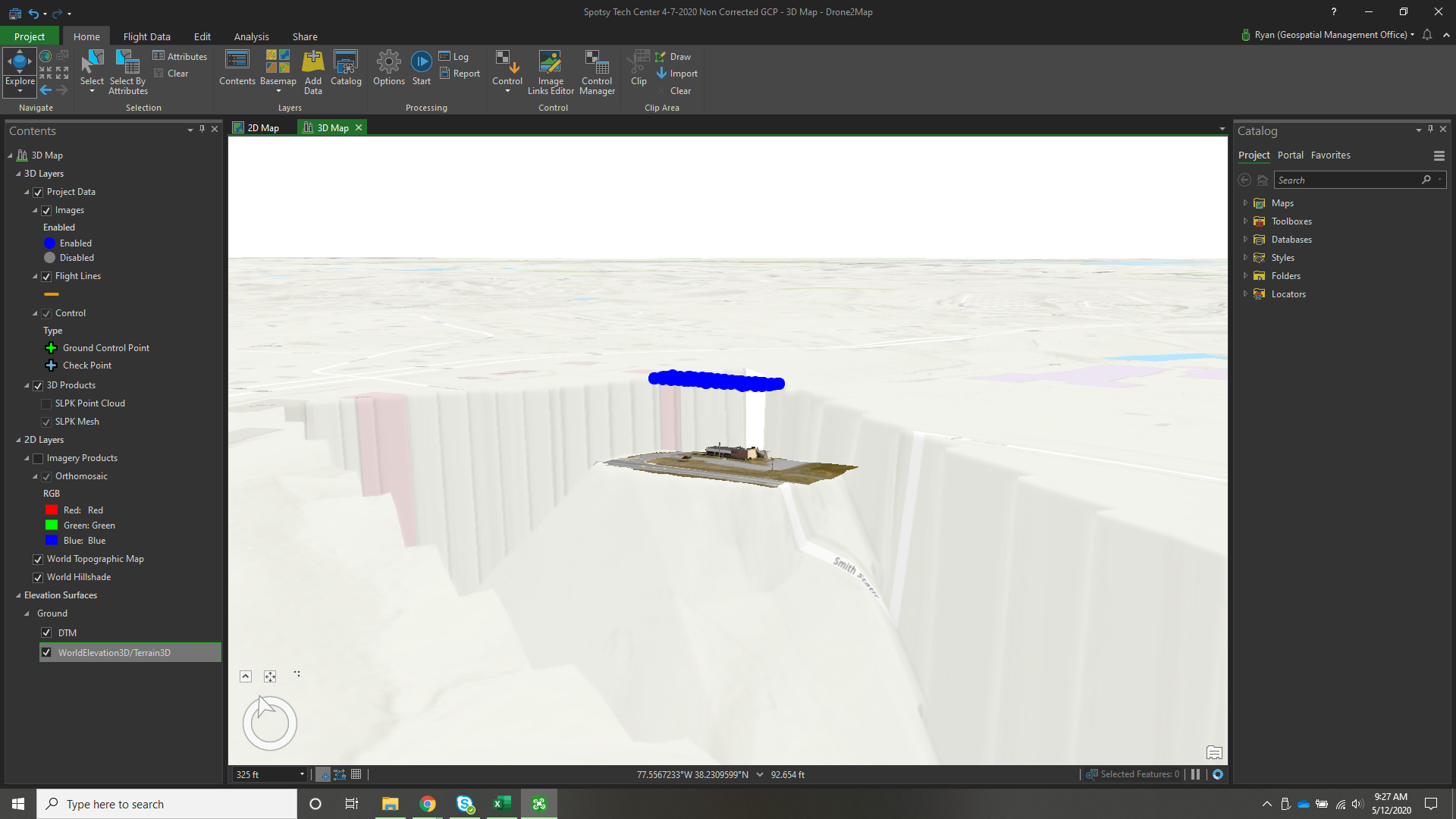
I am currently using Drone 2 Map to produce 3D Maps using a DJI Drone that records in WGS84, my GCP's are collected in WGS84 as well. When I process the mission and apply it with the World Elevation background the elevations are almost 120 ft difference. It appears that the World Elevation is applying the local geoid elevation and not WGS84. Is there any way to correct this?

- Mark as New
- Bookmark
- Subscribe
- Mute
- Subscribe to RSS Feed
- Permalink
- Report Inappropriate Content
Ryan
You're correct that the world elevation is orthometric (geoid based), not elllipsoidal. If you used control referenced to WGS 84 (ellipsoidal height), that will align your 3D products with the vertical height of the ellipsoid. See help here Manage control—Drone2Map for ArcGIS Help | Documentation and also Vertical reference—Drone2Map for ArcGIS Help | Documentation
I updated this post - had previously send a link to doc on an older version
Yes you can change this - there are many approaches depending on your end goals.
1) if you're publishing 3D products in ArcGIS Online or Enterprise and then viewing 3D web scenes, you can apply a vertical offset in the web viewer. (You'd have to determine the right value to use - apparently something near 120 feet).
2) if you are using the 3D Products in ArcGIS Pro, you can set the ground height to reference ellipsoidal height
3) if you want your 3D products to be referenced to orthometric height (to automatically align with the ArcGIS world terrain), you'd need to re-run the 3D processing - we don't currently have a method to edit the Z values in 3D point clouds and meshes. To do this, you'd need to adjust the Z values in your GCPs to reference orthometric height before processing.
If that doesn't help, let us know where (what software) you're using the 3D products
Cody
It sounds like you already understand orthometric vs. ellipsoidal heights, but this reference may be helpful
Converting from orthometric to ellipsoidal heights—Help | Documentation