- Home
- :
- All Communities
- :
- Products
- :
- Imagery and Remote Sensing
- :
- Imagery Questions
- :
- Re: Pixel image after upload to sde. How I can imp...
- Subscribe to RSS Feed
- Mark Topic as New
- Mark Topic as Read
- Float this Topic for Current User
- Bookmark
- Subscribe
- Mute
- Printer Friendly Page
Pixel image after upload to sde. How I can improve image quality?
- Mark as New
- Bookmark
- Subscribe
- Mute
- Subscribe to RSS Feed
- Permalink
- Report Inappropriate Content
Hi,
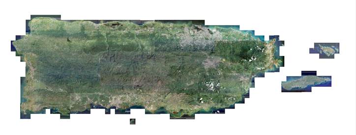
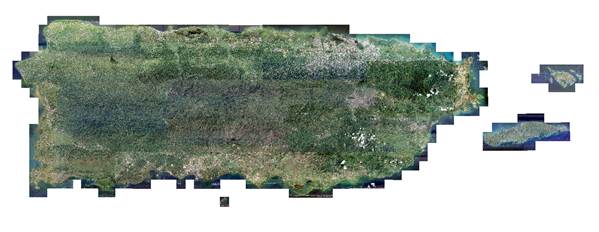
I have a raster dataset on a file geodatabase with Puerto Rico Imagery from 2007. this image look really smooth
After I create the raster dataset on SDE and upload the image using the exact same characteristics and properties from the one on the file geodatabase it seem with pixels and not smooth as the one on the FGD.
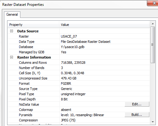
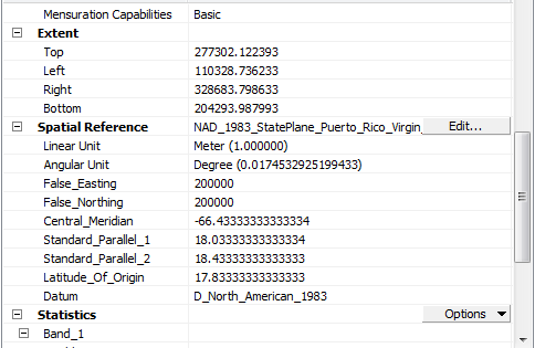
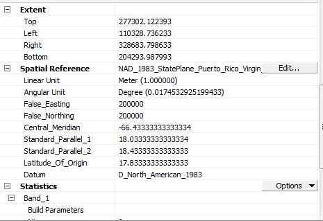
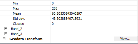
as you can see, the properties are the same
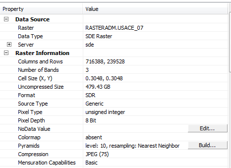
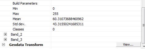
I create the pyramids and calculate statistics for the raster and it does not look like the FGB one.
What am I doing wrong?
Thanks,
Diego Llamas
- Mark as New
- Bookmark
- Subscribe
- Mute
- Subscribe to RSS Feed
- Permalink
- Report Inappropriate Content
- Mark as New
- Bookmark
- Subscribe
- Mute
- Subscribe to RSS Feed
- Permalink
- Report Inappropriate Content
Diego,
Are you adding the raw uncompressed imagery when loading to SDE or are you using the already compressed FGDB data? If you compress data that is already compressed you can see issues like this.
- Mark as New
- Bookmark
- Subscribe
- Mute
- Subscribe to RSS Feed
- Permalink
- Report Inappropriate Content
Hi Diego,
It looks like the pyramids are different. For the File Geodatabase Raster Dataset, you are using Bilinear. For the SDE Raster Dataset, you are using Nearest Neighbor. I would recommend deleting the pyramids using the Build Pyramids tool, and then recreating using Bilinear.
- Mark as New
- Bookmark
- Subscribe
- Mute
- Subscribe to RSS Feed
- Permalink
- Report Inappropriate Content
would that be the issue on the parent thread too? (same data)
- Mark as New
- Bookmark
- Subscribe
- Mute
- Subscribe to RSS Feed
- Permalink
- Report Inappropriate Content
Yes, I believe so.
- Mark as New
- Bookmark
- Subscribe
- Mute
- Subscribe to RSS Feed
- Permalink
- Report Inappropriate Content
I would give serious consideration to the suggestion made by Jake Skinner. I suspect he has identified the issue and the fix. The graininess in the SDR is likely from using the nearest neighbor resampling for the pyramids, which is really intended for working with categorical data. I think it is/has also been used with coarse resolution imagery. In the case of high resolution imagery, you should be using either bilinear or cubic for the resampling method.
- Mark as New
- Bookmark
- Subscribe
- Mute
- Subscribe to RSS Feed
- Permalink
- Report Inappropriate Content
To expand on Gabriels comments you need to set the resampling on the pyramids in the environment variables when performing the load to SDE. By default it is set to nearest neighbor. also nearest neighbor is the fastest resampling method but not necessarily the optimal for continuous data like this. Bilinear or cubic convolution are slower to process but provide a far more visually pleasing result.
i guess the real question though is why are you loading up your Enterprise Geodatabase with imagery? The preferred method today is to place the imagery in a Mosaic Dataset. Not only is it faster to create but it saves having multiple version of the same imagery and provides similar if not faster display speeds.
Regards
Gordon
- Mark as New
- Bookmark
- Subscribe
- Mute
- Subscribe to RSS Feed
- Permalink
- Report Inappropriate Content
Thank you Guys, (Dan,Gabriel, Gordon, Jake, Robert) I will try your suggestions and I will let you know.