- Home
- :
- All Communities
- :
- Products
- :
- Imagery and Remote Sensing
- :
- Imagery Questions
- :
- Re: error 000210: cannot create output. The opera...
- Subscribe to RSS Feed
- Mark Topic as New
- Mark Topic as Read
- Float this Topic for Current User
- Bookmark
- Subscribe
- Mute
- Printer Friendly Page
error 000210: cannot create output. The operation was attempted on an empty geometry 'arcmap 10.71'
- Mark as New
- Bookmark
- Subscribe
- Mute
- Subscribe to RSS Feed
- Permalink
- Report Inappropriate Content
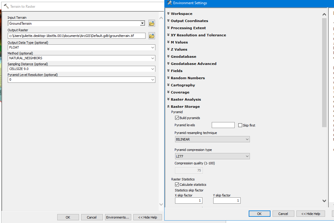
I was attempting to run the Terrain to Raster tool in Arcmap 10.71. Has anyone had this problem and solved it? I've tried changing the name and place of the output.
- Mark as New
- Bookmark
- Subscribe
- Mute
- Subscribe to RSS Feed
- Permalink
- Report Inappropriate Content
What are the parameters you used in the tool? What is the coordinate systems involved in the inputs and outputs?
That error coincidently appears to have been found with certain datasets and project raster, which isn't directly related to your problem unless there is a projection from one coordinate system to another? (ie map vs data coordinate systems.)
BUG-000126924: In ArcGIS Desktop 10.7.1, the Project Raster tool ru..
- Mark as New
- Bookmark
- Subscribe
- Mute
- Subscribe to RSS Feed
- Permalink
- Report Inappropriate Content
- Mark as New
- Bookmark
- Subscribe
- Mute
- Subscribe to RSS Feed
- Permalink
- Report Inappropriate Content
Dan Patterson, thank you for your reply. The coordinate system for the GroundTerrain layer is :: NAD_1983_StatePlane_California_VI_FIPS_0406_Feet
Projection: Lambert_Conformal_Conic
- Mark as New
- Bookmark
- Subscribe
- Mute
- Subscribe to RSS Feed
- Permalink
- Report Inappropriate Content
did you try putting the *.tif in a folder rather than a *.gdb?
- Mark as New
- Bookmark
- Subscribe
- Mute
- Subscribe to RSS Feed
- Permalink
- Report Inappropriate Content
Yes, I tried putting the .tif into a folder. It gave just about the same error about missing geometry.
- Mark as New
- Bookmark
- Subscribe
- Mute
- Subscribe to RSS Feed
- Permalink
- Report Inappropriate Content
Repair Geometry—Data Management toolbox | Documentation
but terrains are not mentioned, but layers are.... worth a shot (available in arcmap as well)
- Mark as New
- Bookmark
- Subscribe
- Mute
- Subscribe to RSS Feed
- Permalink
- Report Inappropriate Content
Thank you for looking into this. I'll read link.