- Home
- :
- All Communities
- :
- Products
- :
- Imagery and Remote Sensing
- :
- Imagery Questions
- :
- Verifying Z-Values in DEM created from LAS dataset...
- Subscribe to RSS Feed
- Mark Topic as New
- Mark Topic as Read
- Float this Topic for Current User
- Bookmark
- Subscribe
- Mute
- Printer Friendly Page
Verifying Z-Values in DEM created from LAS dataset, and Contours created from DEM
- Mark as New
- Bookmark
- Subscribe
- Mute
- Subscribe to RSS Feed
- Permalink
- Report Inappropriate Content
I have a large LAS Dataset, consisting of about 25 tiles. I used the LAS Dataset to raster tool in order to create a raster surface from the Lidar data, the DEM itself prior to creation of the raster surface had Z-values. The photo snip attached, snip_example_1, is how I processed the LAS dataset.
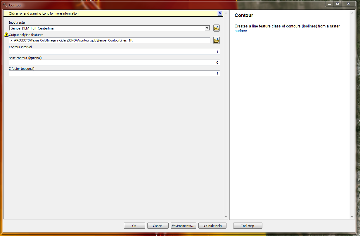
Next from the DEM, contour lines were generated. How I ran the tool is below attached, "Snip_example_2". My main question here is what is the easiest way to verify there are Z-values on these contours? They are to be utilized to create 3D surfaces eventually, but searching through the web and other sources I cannot seem to verify any actual methods to pretty much check the data for accuracy/elevation. Any examples, tips?
Thank you
Solved! Go to Solution.
Accepted Solutions
- Mark as New
- Bookmark
- Subscribe
- Mute
- Subscribe to RSS Feed
- Permalink
- Report Inappropriate Content
Tory,
After you have created contours, the contour elevation is an attribute in the table. If you have the 3D Analyst extension, 3D ANALYST TOOLS >> 3D FEATURES >> FEATURE TO 3D BY ATTRIBUTE.
Regards,
Jim
- Mark as New
- Bookmark
- Subscribe
- Mute
- Subscribe to RSS Feed
- Permalink
- Report Inappropriate Content
There are not any z-values on the contour lines, the output from the Contour tool is a 2D polyline feature class. Each polyline has an attribute, named contour. Think of slicing a potato, the lines represent these horizontal slices.
-Steve
- Mark as New
- Bookmark
- Subscribe
- Mute
- Subscribe to RSS Feed
- Permalink
- Report Inappropriate Content
Is it possible at all to assign Z-values to the contour lines, based off of the elevation data from the original DEM? OR do the contour lines have to be created a different way to have z-values assigned?
- Mark as New
- Bookmark
- Subscribe
- Mute
- Subscribe to RSS Feed
- Permalink
- Report Inappropriate Content
Tory,
After you have created contours, the contour elevation is an attribute in the table. If you have the 3D Analyst extension, 3D ANALYST TOOLS >> 3D FEATURES >> FEATURE TO 3D BY ATTRIBUTE.
Regards,
Jim