- Home
- :
- All Communities
- :
- Products
- :
- Imagery and Remote Sensing
- :
- Imagery Questions
- :
- Imagery Blocked Out at Different Zoom Levels
- Subscribe to RSS Feed
- Mark Topic as New
- Mark Topic as Read
- Float this Topic for Current User
- Bookmark
- Subscribe
- Mute
- Printer Friendly Page
Imagery Blocked Out at Different Zoom Levels
- Mark as New
- Bookmark
- Subscribe
- Mute
- Subscribe to RSS Feed
- Permalink
- Report Inappropriate Content
Hello. I have some georeferenced floor plan sheets that I am uplifting and today, I started having something odd happen. It's happening on my Ortho Imagery also.
In the first image below, zoomed at 1:2000, you can see the full extent of the floor plan.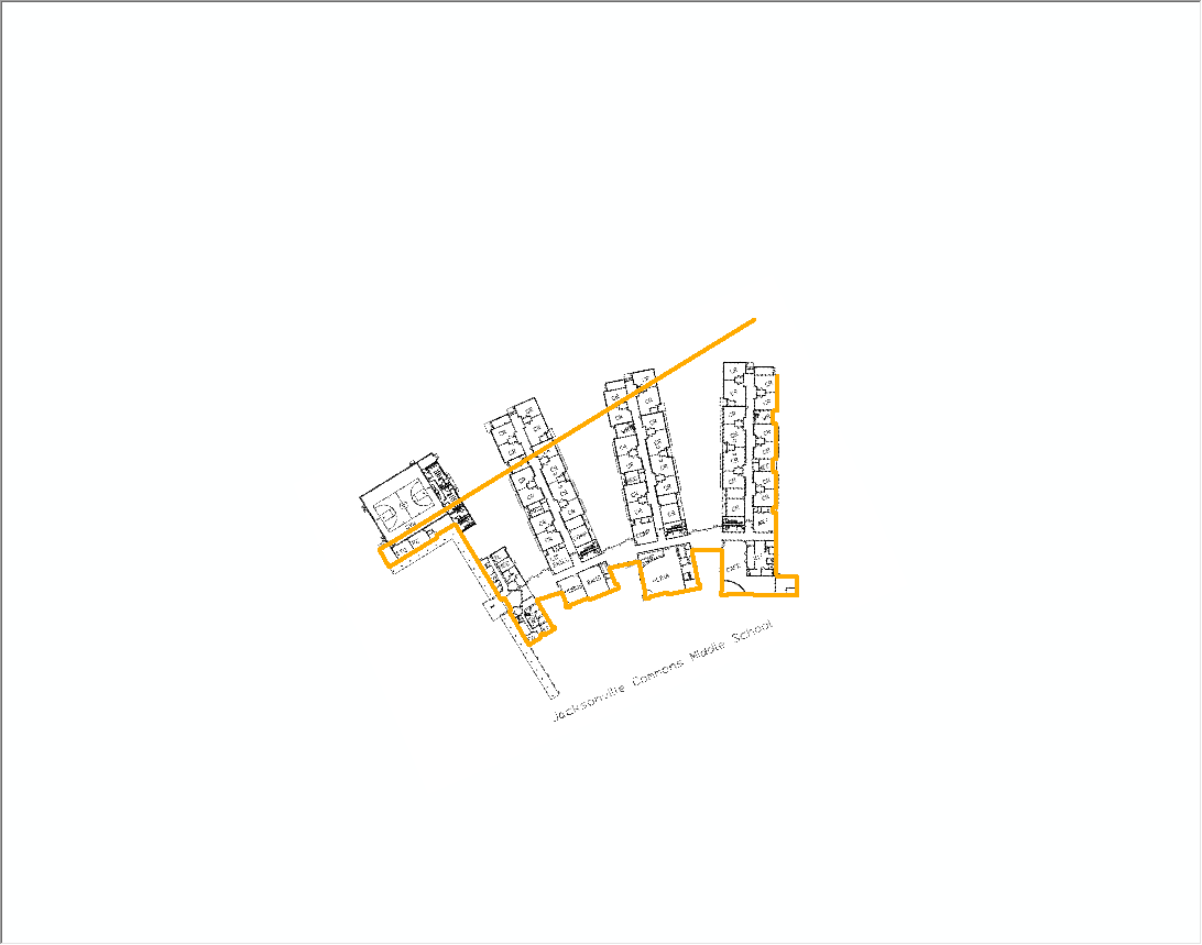
However, as shown in the below image, when I zoom in the image disappears and leaves odd black boxes. 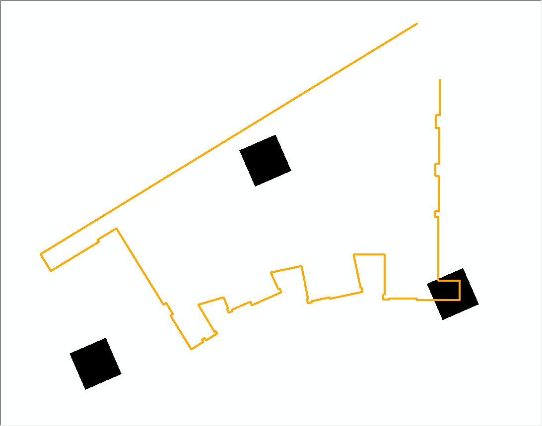
I have never seen this happen before and am having trouble finding information online also.
Any ideas? Thank you so much in advance. 
- Mark as New
- Bookmark
- Subscribe
- Mute
- Subscribe to RSS Feed
- Permalink
- Report Inappropriate Content
Heather,
Is there any errors in your browser web console?
- Mark as New
- Bookmark
- Subscribe
- Mute
- Subscribe to RSS Feed
- Permalink
- Report Inappropriate Content
I'm sorry but I'm not sure what you mean. I'm using ArcGis 10.3.1 for Desktop if that helps?
- Mark as New
- Bookmark
- Subscribe
- Mute
- Subscribe to RSS Feed
- Permalink
- Report Inappropriate Content
Heather,
Sorry I did not realize you were talking about desktop. I will have to bow out of this thread then.
- Mark as New
- Bookmark
- Subscribe
- Mute
- Subscribe to RSS Feed
- Permalink
- Report Inappropriate Content
What is the bit depth and file format of the image? Are there pyramids built?