- Home
- :
- All Communities
- :
- Products
- :
- Imagery and Remote Sensing
- :
- Imagery Questions
- :
- Re: Coordinate Systems and Projections Issues
- Subscribe to RSS Feed
- Mark Topic as New
- Mark Topic as Read
- Float this Topic for Current User
- Bookmark
- Subscribe
- Mute
- Printer Friendly Page
Coordinate Systems and Projections Issues
- Mark as New
- Bookmark
- Subscribe
- Mute
- Subscribe to RSS Feed
- Permalink
- Report Inappropriate Content
Working in ArcMap 10.5 I was given two shapefiles with unknown coordinate systems (collected in the field via GPS in NJ State Plane). Since I have been told the GPS collected in NJ State Plane, I defined the projection ("Define Projection" tool) of the shapefiles to the Geographic Coordinate System "NAD 1983 (2011)." The next step I did was project the shapefiles ("Project" tool) to the Projected Coordinate System "NAD_1983_2011_StatePlane_New_Jersey_FIPS_2900_Ft_US." Everything seems to be fine, but on the bottom right hand corner it still shows decimal degrees. Does anyone have input to why this would not be changed to feet? The shapefiles are the only layers added and the layers coordinate system is also in state plane. Any info would be great.
- Mark as New
- Bookmark
- Subscribe
- Mute
- Subscribe to RSS Feed
- Permalink
- Report Inappropriate Content
Dave,
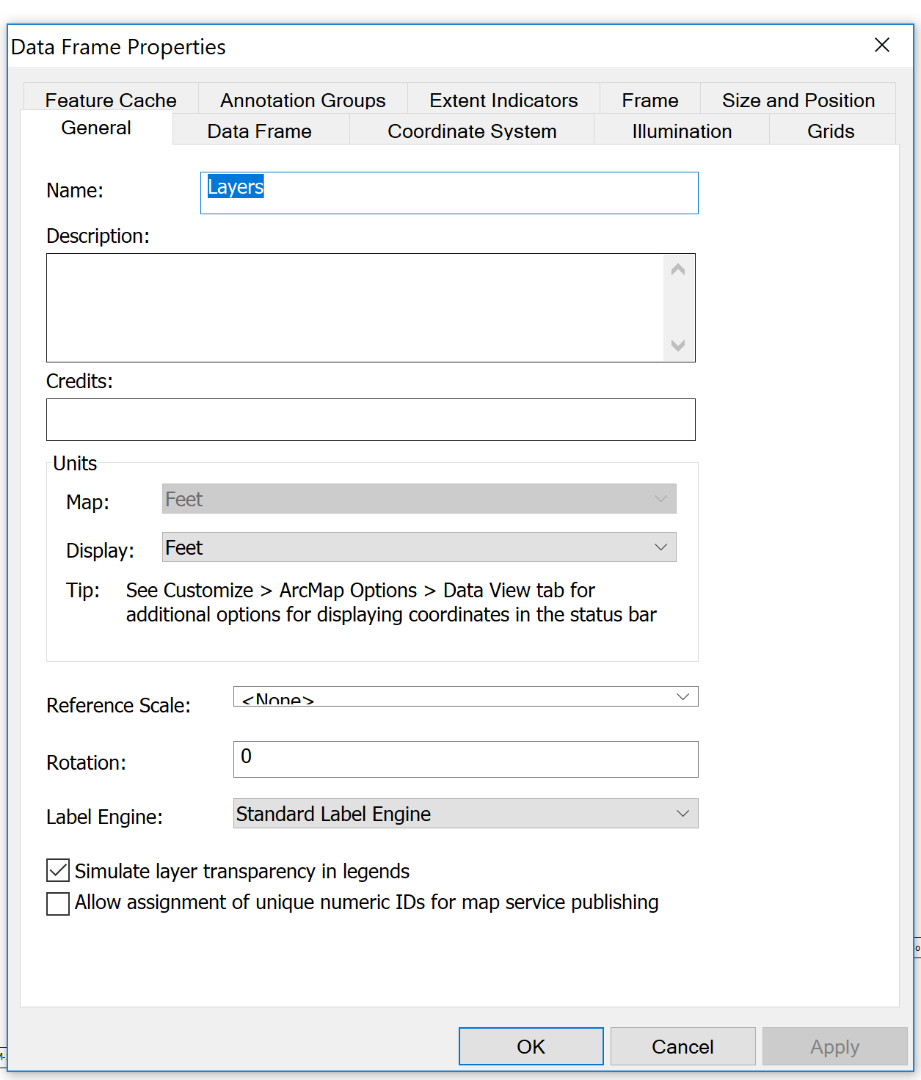
You can go into the data frame properties, under the general tab, and choose the display units:
- Mark as New
- Bookmark
- Subscribe
- Mute
- Subscribe to RSS Feed
- Permalink
- Report Inappropriate Content
Thanks Adrian, I totally overlooked looking into those settings.