Turn on suggestions
Auto-suggest helps you quickly narrow down your search results by suggesting possible matches as you type.
Cancel
- Home
- :
- All Communities
- :
- Industries
- :
- Health and Human Services
- :
- Health and Human Services Questions
- :
- Strengthening Public Health Preparedness With GIS ...
Options
- Subscribe to RSS Feed
- Mark Topic as New
- Mark Topic as Read
- Float this Topic for Current User
- Bookmark
- Subscribe
- Mute
- Printer Friendly Page
Strengthening Public Health Preparedness With GIS Report
Subscribe
1350
0
08-25-2020 07:15 AM
Labels (5)
08-25-2020
07:15 AM
- Mark as New
- Bookmark
- Subscribe
- Mute
- Subscribe to RSS Feed
- Permalink
- Report Inappropriate Content

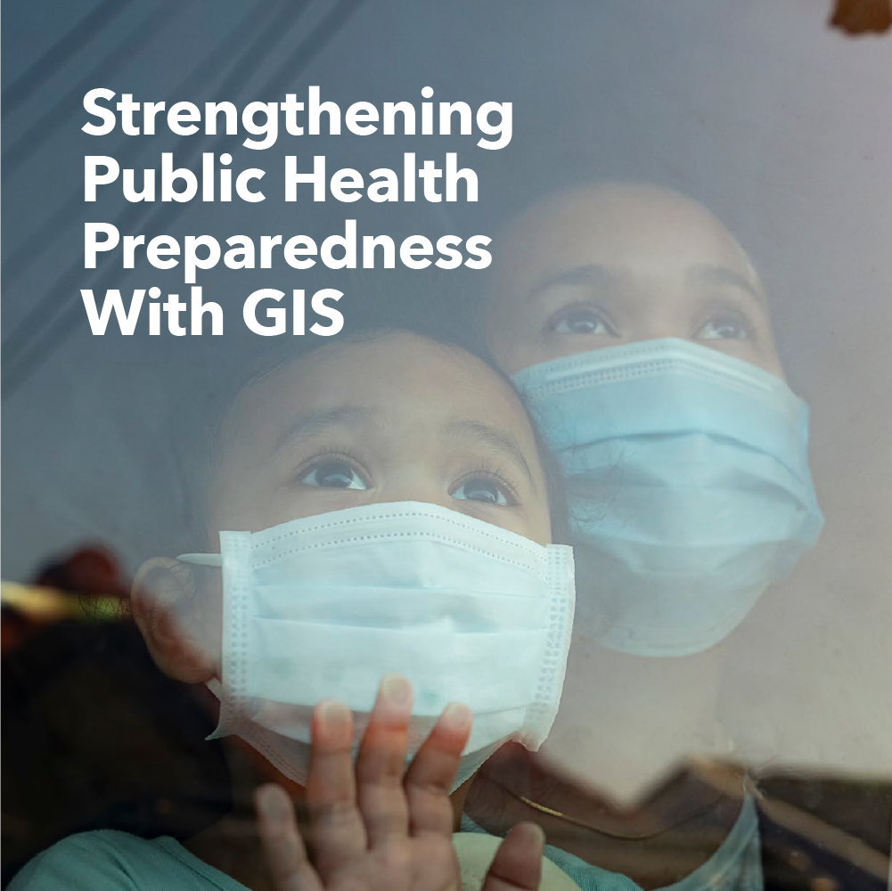
FYI, Govloop and Esri have released a new report to learn how GIS can support evidence-based decision-making and public health preparedness.
Specifically, the report discusses:
- Common data requirements for public health preparedness
- Best practices for crisis response.
- The essential role of location in managing public health emergencies.
Hope this helps,
0 Replies