As data volumes increase, managing the large hydrographic datasets is not limited to the world’s hydrographic offices. The hydrographic survey companies contracted to carry out the surveys need to be able to store their data in an easily accessible, spatial and quick manner. They also need to be able to serve their data to clients via The Cloud. This demand is being increasingly seen across all the survey sectors, from Oil and Gas through to Offshore Renewables, Hydrography through to Coastal Surveys.
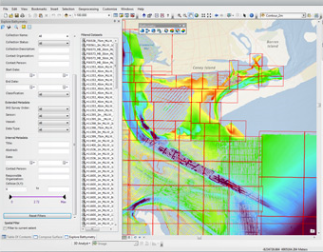
The Esri Bathymetric Information System (BIS) is a database specifically designed for this type of requirement and is accessed through the well-known and easily used Esri ArcGIS software. The Esri products also have the capability to serve the data either publicly or privately (to select clients and internally) via a simple web interface.