Turn on suggestions
Auto-suggest helps you quickly narrow down your search results by suggesting possible matches as you type.
Cancel
Mostly Mapping Map of the Day - Wildfire Status Dashboard
Subscribe
407
0
08-20-2018 01:59 PM
- Subscribe to RSS Feed
- Mark as New
- Mark as Read
- Bookmark
- Subscribe
- Printer Friendly Page
- Report Inappropriate Content
08-20-2018
01:59 PM
This year has been among the worst in U.S. wildfire history. This application, by John Von Holle and Jeff Dulin of the International Association of Fire Chiefs (IAFC), shows the current status of wildfires using continuously updated data.
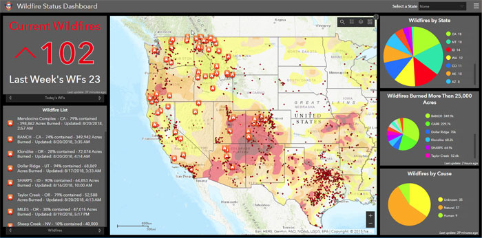
The app is built using Operations Dashboard for ArcGIS, and leverages basemaps, active fire locations and perimeters, MODIS hotspots, and drought data from the ArcGIS Living Atlas of the World, along with other data sources.
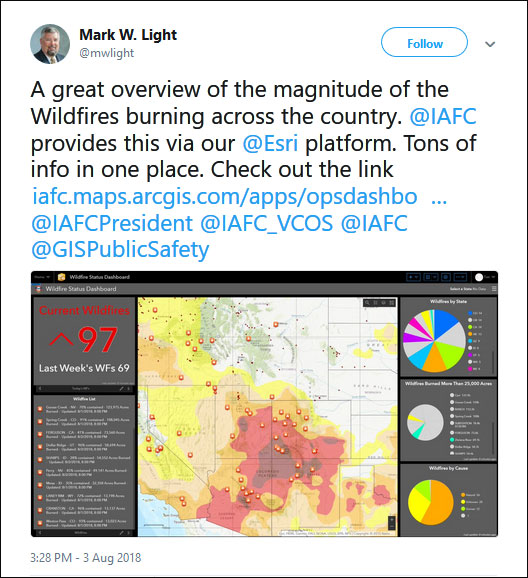
See the tweet:
Labels
You must be a registered user to add a comment. If you've already registered, sign in. Otherwise, register and sign in.
About the Author
Esri technical evangelist and product advocate. On a good day I'm making a map. On a great day I'm on one.
https://www.linkedin.com/in/bernszukalski/
bszukalski@esri.com
Labels