In a GIF: Extract the coordinates from an entire Wikipedia article
- Subscribe to RSS Feed
- Mark as New
- Mark as Read
- Bookmark
- Subscribe
- Printer Friendly Page
- Report Inappropriate Content
This week's .gif features LocateXT, a powerful text extraction tool accessible in ArcGIS Pro. This extension can be used to plot coordinates and placenames, extract attributes, and rapidly iterate through massive folders of documents. For more information, visit the product page.
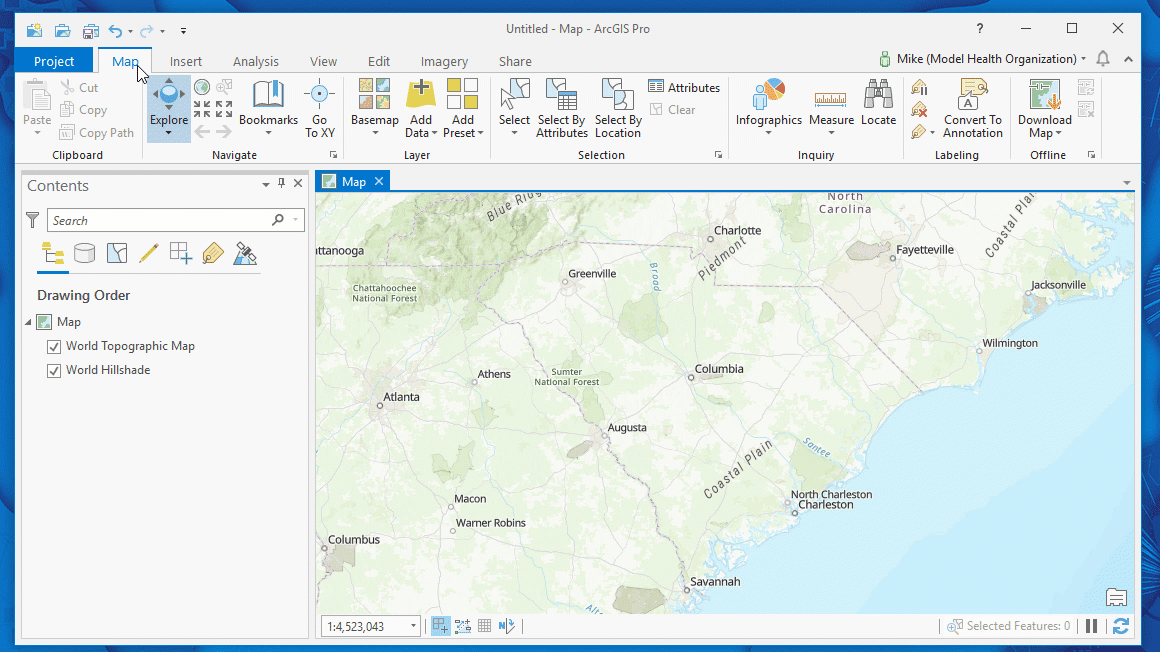
LocateXT can rapidly discover geodata in unstructured text, then convert it to points on a map.
Shout-out to Maren John for inspiring this application of pulling from a source like Wikipedia!
About In a GIF:
Every Friday, I take a few seconds of my day to demonstrate a cool feature of the ArcGIS platform, and share it with you all! The goal is to show how easy it is to create incredible products using tools available in the Esri environment.
We've all seen "look how easy this tool is to use" demos before, using curated data and copy-pasta code. So, to truly demonstrate going from zero-to-hero, In a GIF follows three simple rules:
In a GIF Rules: 1) The .gif must be less than 45 seconds. 2) No cutting time from the .gif 3) No pre-prepared code allowed. |
You must be a registered user to add a comment. If you've already registered, sign in. Otherwise, register and sign in.