2017 Esri User Conference Quick Thoughts
- Subscribe to RSS Feed
- Mark as New
- Mark as Read
- Bookmark
- Subscribe
- Printer Friendly Page
- Report Inappropriate Content
You may have seen my other blog posts where I “use” my five-year-old to help explain different things like georeferencing and first-time-guide-to the-Esri-UC. This year, Esri has asked me to write up my thoughts on the Esri User Conference and it was suggested to keep it in line with using a five-year-old to explain these things. These will be short posts illustrating each of the first four days but there is one drawback… the five-year-old had a birthday recently…
So, without further ado I give you:
A Six-Year-Old’s Take on the Esri UC
A short guide to the 2017 Esri User Conference
Quick links to jump to each day
Many times, young kids do not care to do things that you ask them to do, like help out with their parents’ work blogs. For example, how many times when you ask a kid to take their picture when they don’t want it taken, it turns out like this?

(though, this was due to tiredness and some boredom, not reluctance to take a picture)
However, this little six-year-old really likes asking about work!
The day before the conference, she knew I was going into “work” and she is on vacation playing in San Diego so she starts this conversation:
6yo: What do you do at work?
Me: I am going to go downtown and listen to people talk
6yo: That sounds boring
Me: Yeah, that can sound boring, but I can learn new cool things that help me do my job better
6yo: Oh, that sounds good!
When I got back from the conference, she didn’t hesitate to ask, “Daddy, what did you learn today?”
- I told her that Driscoll Farms uses GPS to track all of their plants and strawberry shipments. They track each aspect of the plant process to see where improvements can be made. This resulted in a small acknowledgement.
- I told her that augmented reality is used to show people where pipes are underground. Another small acknowledgment but after showing some images of what this can look like she understood a lot better and thought it was cool. This got my inquisitive and probing eight-year-old curious and he wondered if this was like an x-ray.

I showed him how augmented reality was different from x-rays (one is “real” and the other is like virtual reality and only reflects what data is there). He then wondered what would happen if the data was wrong, wouldn’t people make big mistakes and dig up the wrong side of the road? (He’s a funny boy).
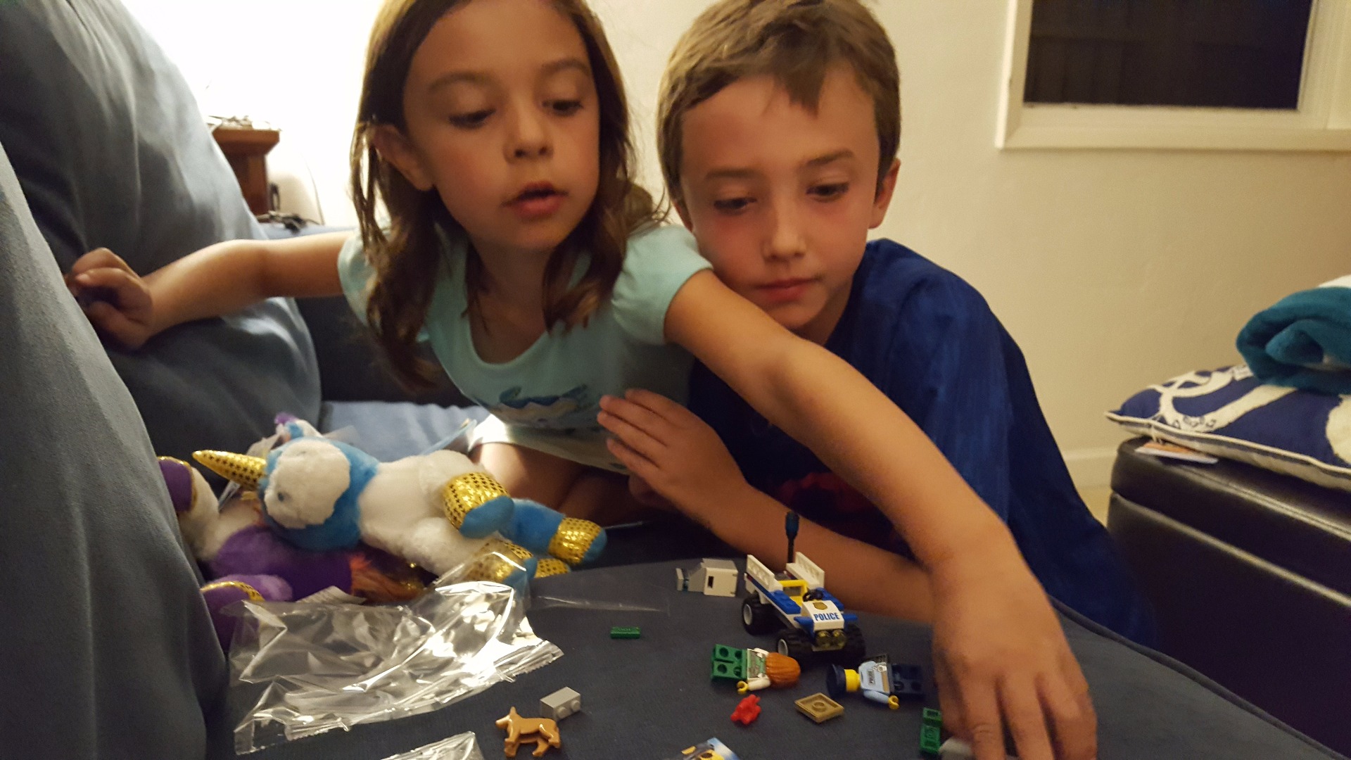
Eventually both kids got distracted with recently acquired Lego bricks (Legoland is nearby…).
The bottom line is that you can have fun with work and get your kids involved too!
Here are some quick highlights (and stray thoughts) of some of day 1:
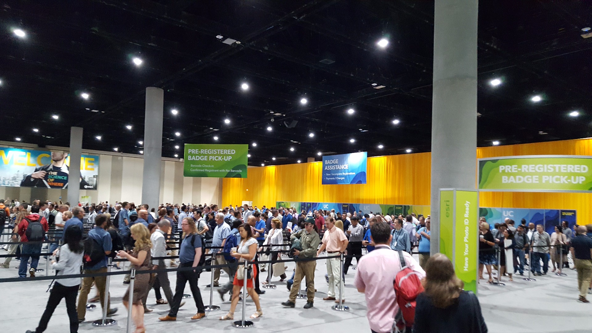
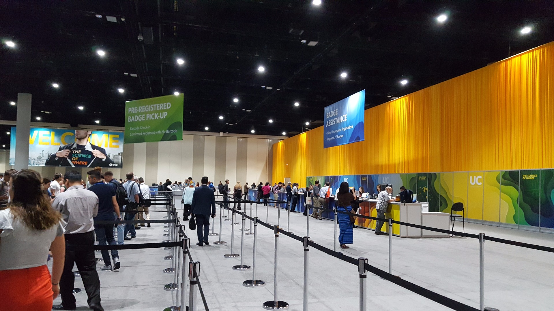
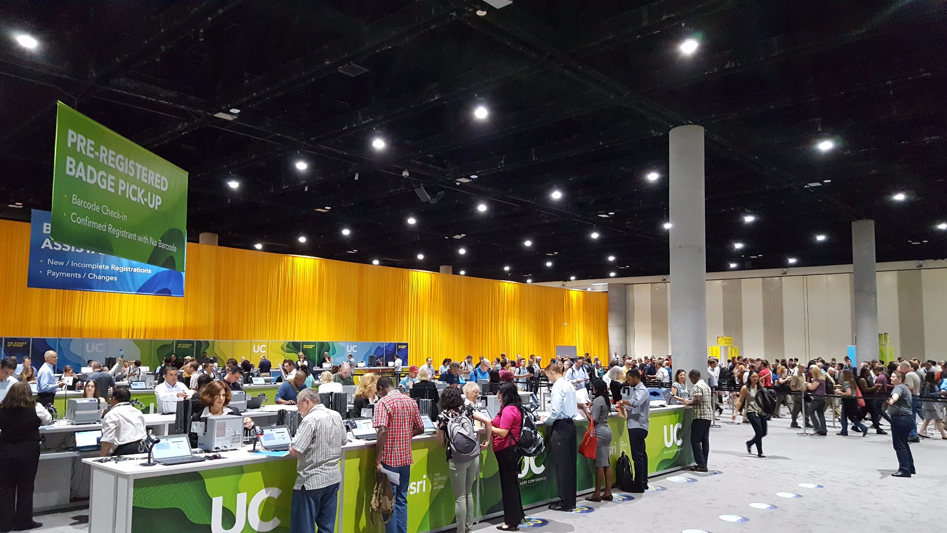
Registration was a breeze. Esri has it handled so quick that we were in and out in less than 10 minutes
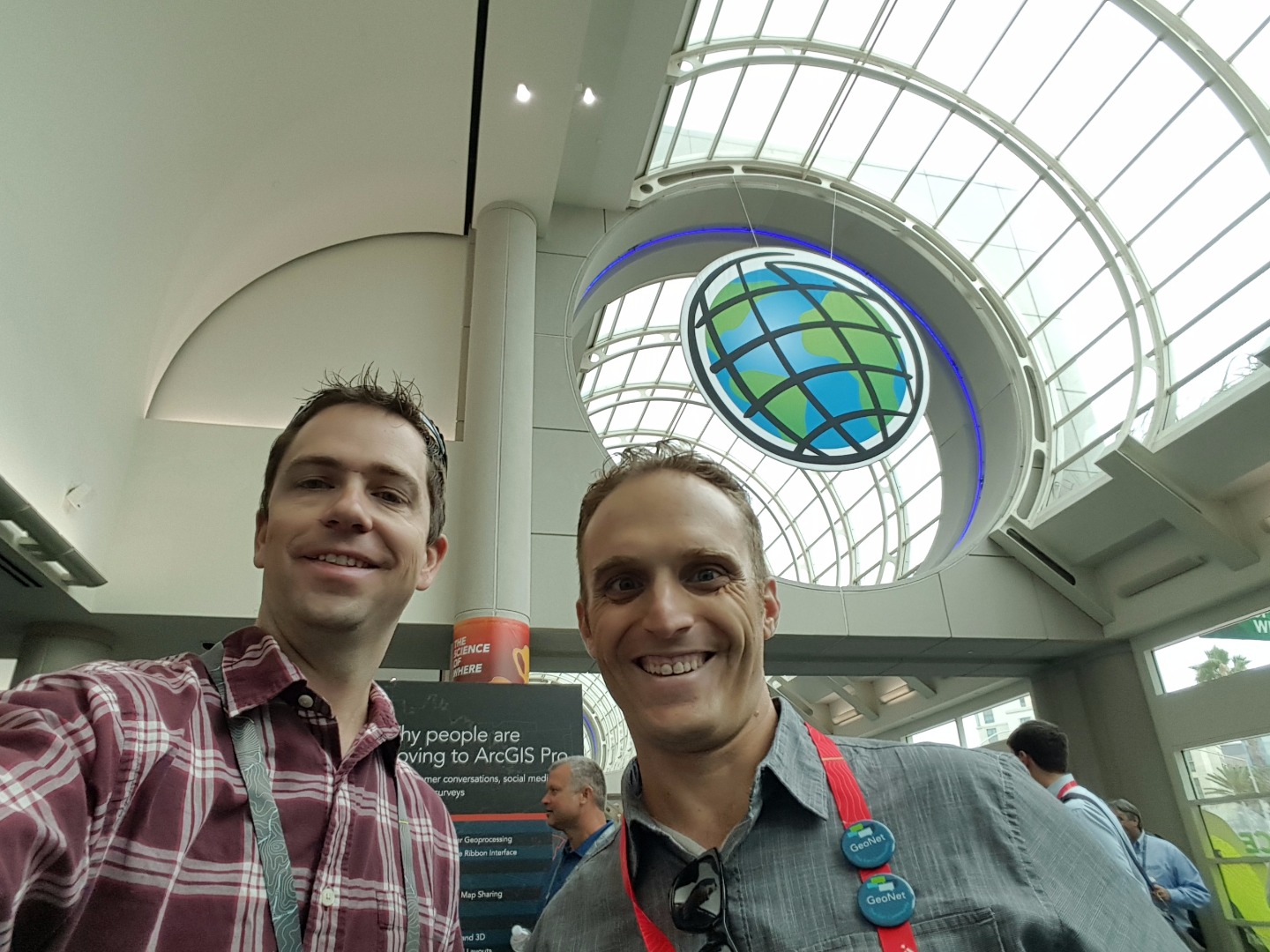
Come find Christopher Catania. He likes doing selfies, haha!
Want to stand in line for Starbucks coffee or “convention center” coffee?

Vs.

Break times are pretty crazy. Try to go outside or spread out a little more:

ArcGIS Pro road ahead

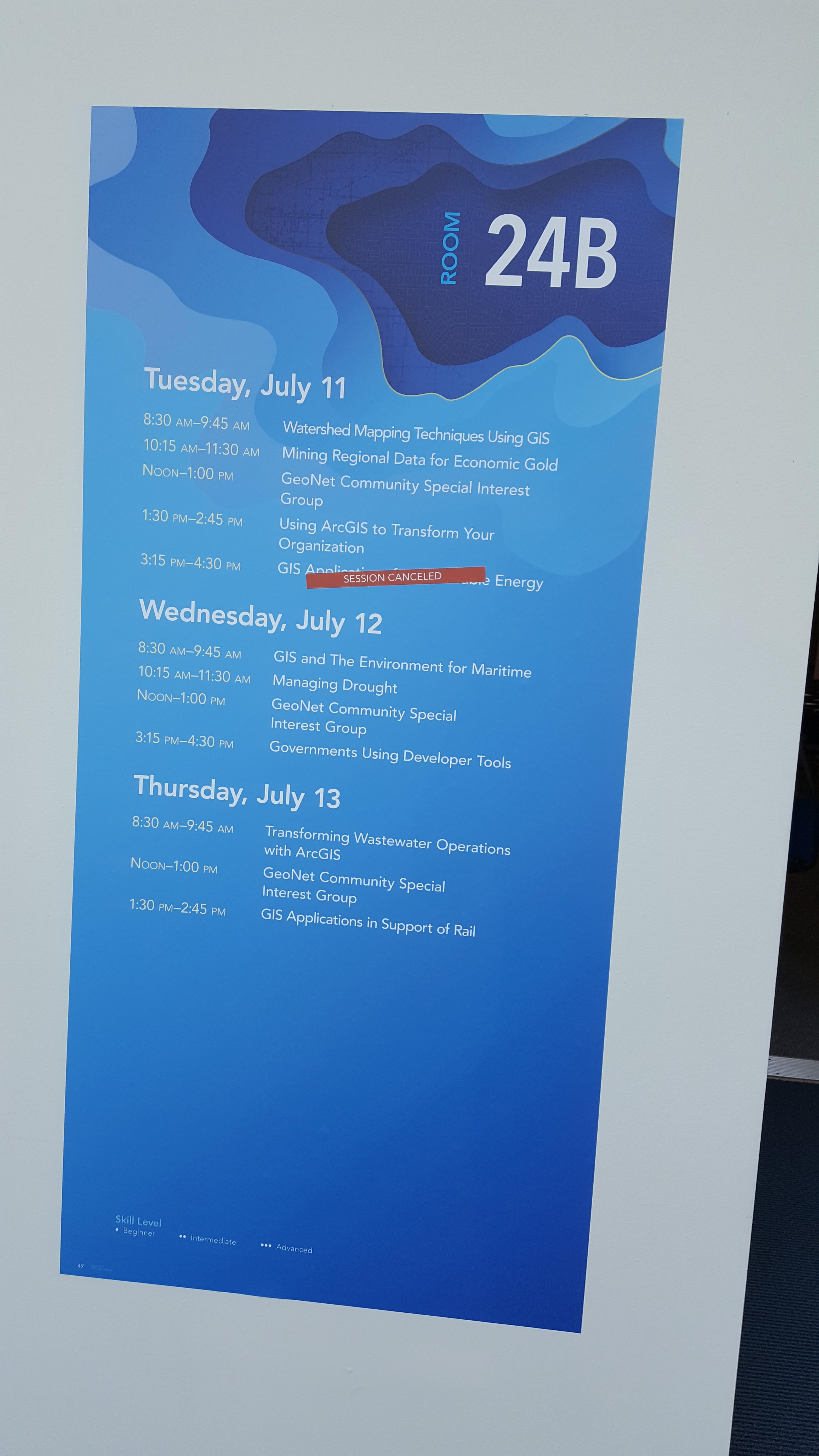
Come to room 24B for some great GeoNet talks!
For the best info you can get, be sure to check out Christopher Catania's blog:
You can also read my random tweets about the conference here: https://twitter.com/adrianpwelsh
Quick highlights of some of day two:
I tried explaining some of the things I learned today to the six-year-old but the little girl did not have much interest. She thought the Lego map was cool, but that is about it.
Since I started the trend of telling my story with pictures, I will continue that trend! (I hope that is ok).
Amazing and Inspiring Maps was amazing and inspiring. We also heard the presenter say, “Maps can lie and they ought to.” 
Lego Brick basemap:

(see the full application here: http://downloads.esri.com/MappingCenter2007/webMaps/kf/lego/index.html)
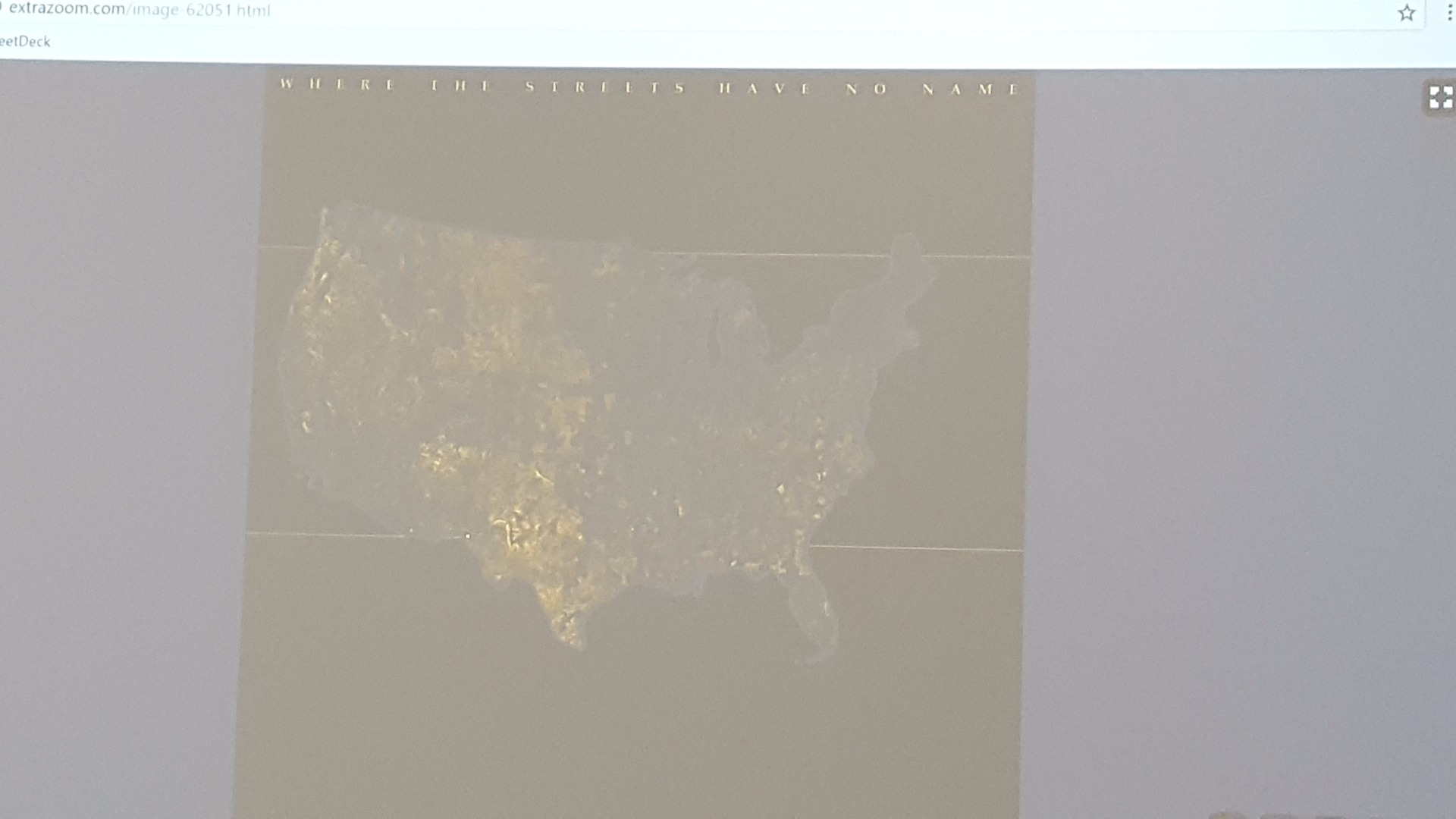
Map where the streets have no name (like the U2 song):
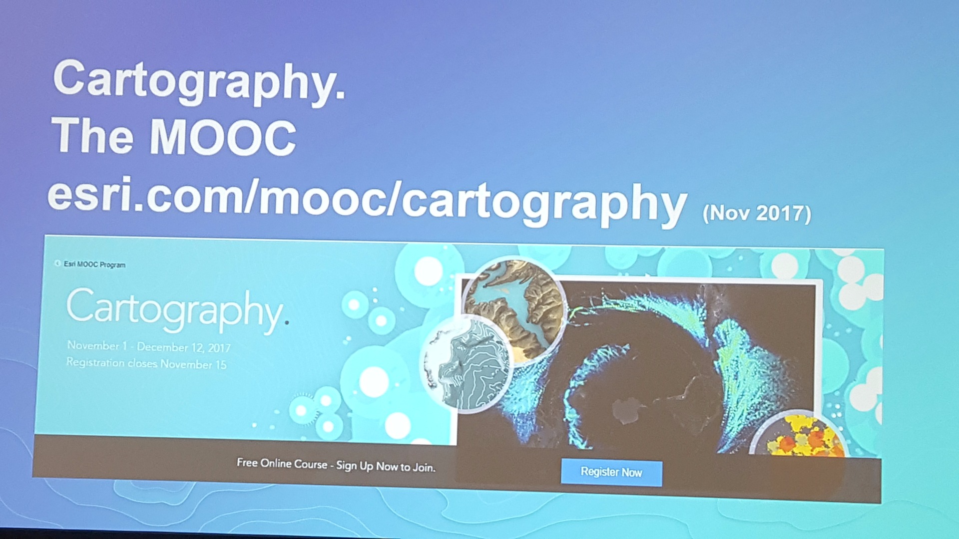
Announcement of a Cartography MOOC in November (I am excited about this!):
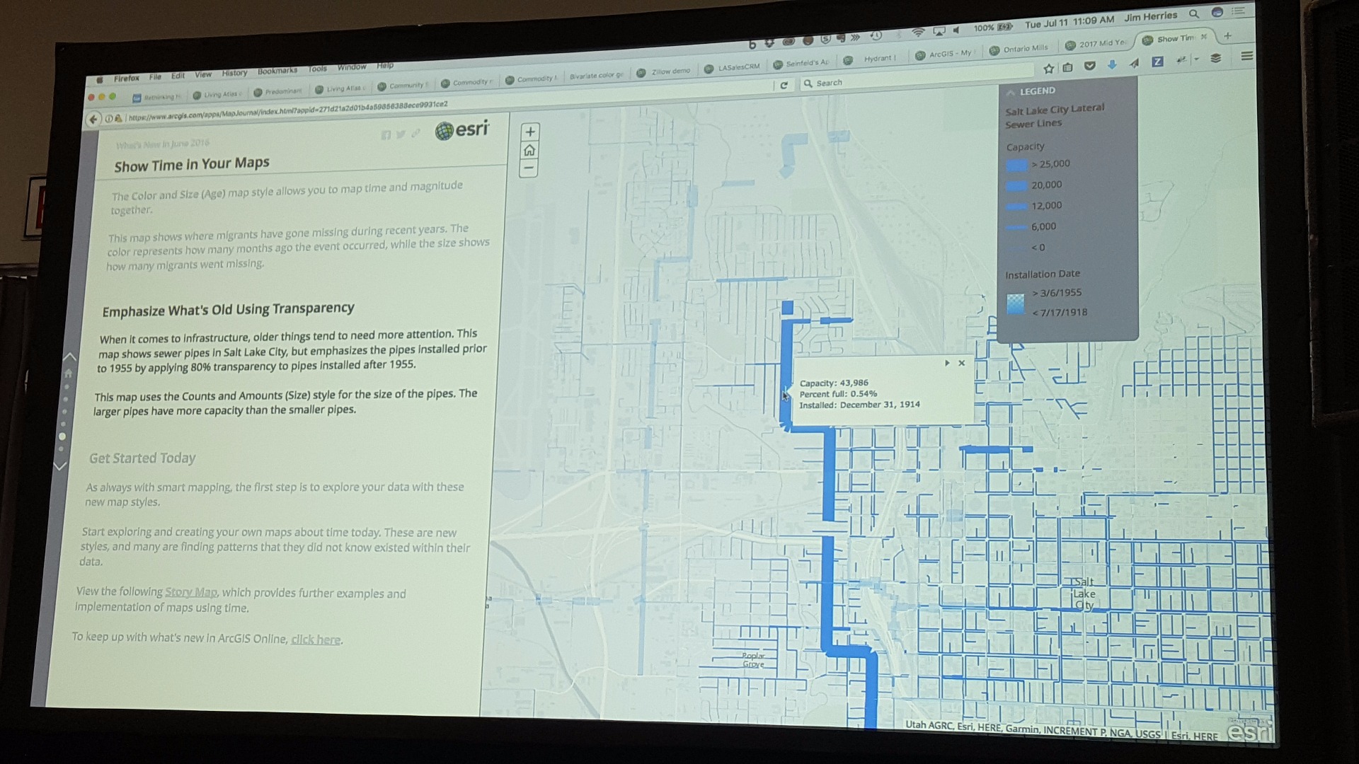
Rethinking how to style your maps helped us know how to display the what, when, where, who, why, and how of maps. The presenter also said, “Everybody lies with maps.” I suppose it was the theme of the day!
From mapping the “when”, we learned that there is a really old and REALLY large pipe in Salt Lake City:
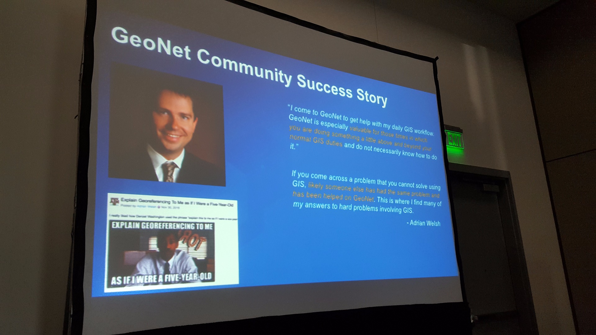
The GeoNet Community SIG meeting was much more attended this time than what I saw last year. It was great seeing many of the major GeoNet community members and I got to have a five minute segment to tell my story (it wasn’t as well-prepared as Kelly’s or Ismael’s!):
I learned where the secret taco truck is, but I am not sure if I am supposed to tell anyone about it…. Thanks Curtis Price!
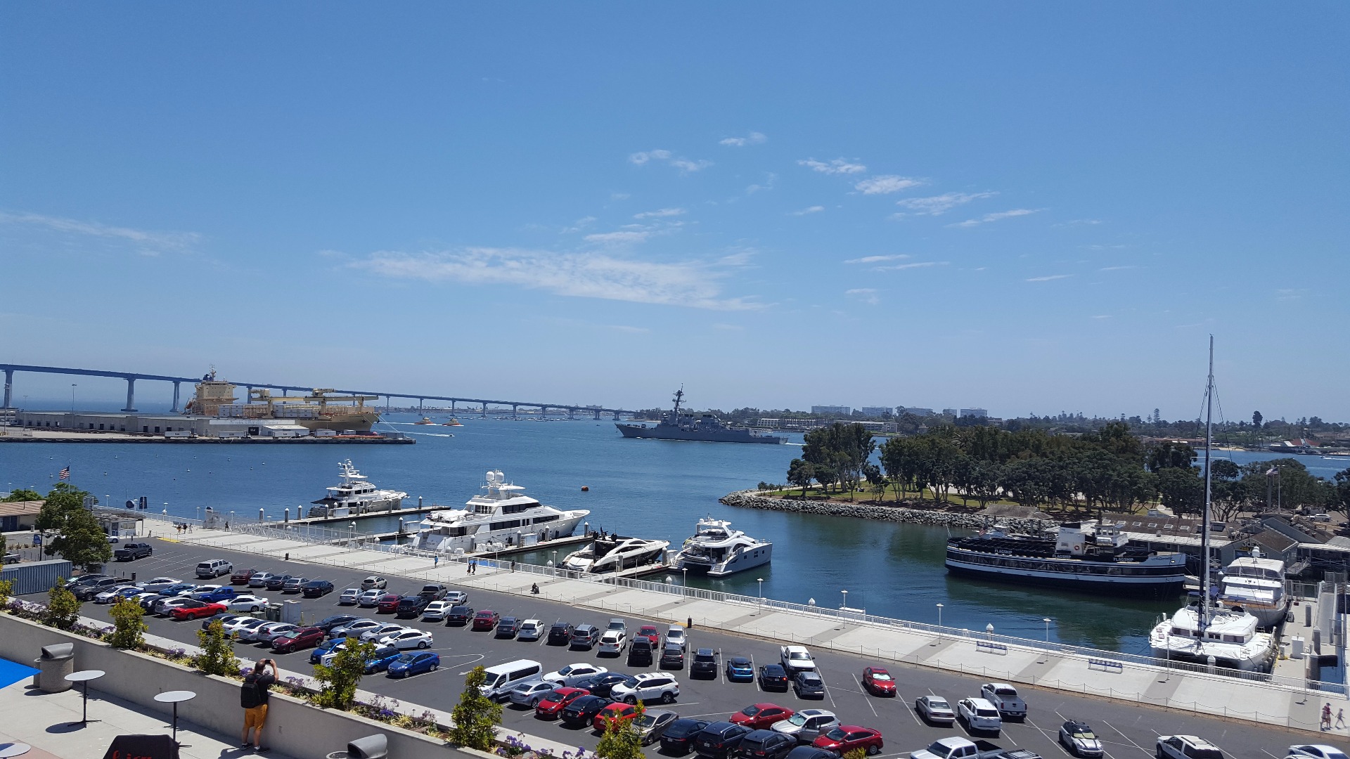
The San Diego harbor is awesome, especially when there is a huge Navy ship cruising through it:
A talk on Coordinate Systems and Projections was very well attended and touched on the very basics of coordinate systems, projections, and transformations (horizontal systems, not vertical ones):

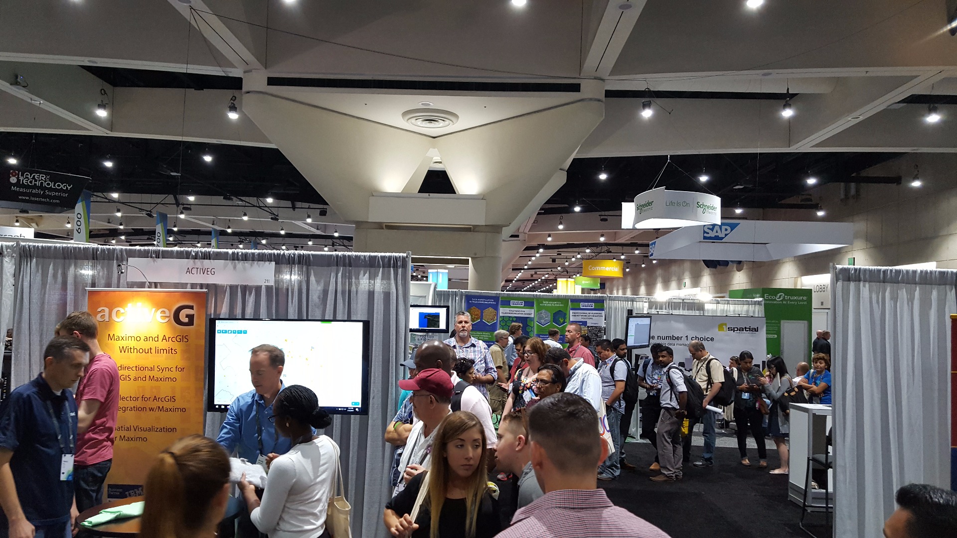
I don’t have any exhibit hall pictures but it was as great as ever! I suppose I should have documented it more (especially Active G, who was printing awesome t-shirts! It was a huge hit!).
Quick highlights of some of day three:
Wow, this gets harder and harder to keep up with when doing this everyday! I have a lot of respect for people who do this for real!
For starters, I learned to never trust Gmail when taking notes. I thought I was being sort of "smart" at the same time as being lazy by taking my conference notes in a new email message with the thought of, at the end of the day, email it to myself. Well, twice today, Gmail decided to just wipe that new message away and erased all of my notes. I am not happy with Gmail [/rant over]
Security does not let you in the exhibit hall before 9 AM without the proper ID! I am not sure if they would let a six-year-old in. They may be little enough to slip by...

Bern, Ian, and Kelly kicked off the morning with getting the most out of configurable web apps. One common theme I have been noticing across talks is that people have been utilizing the added effects of ArcGIS Online to show more symbology (like symbol size, symbol color, and symbol transparency)

Bernie Szukalski likes directing people to the Story Maps | Story Maps website:

Kelly Gerrow showed off the "Featured App of the Week" on the GeoNet website (sorry for the bad picture):

Exhibit hall fun!
Want to see a talk on Python tips and tricks? Get there early. Standing room only in the little theater thing:
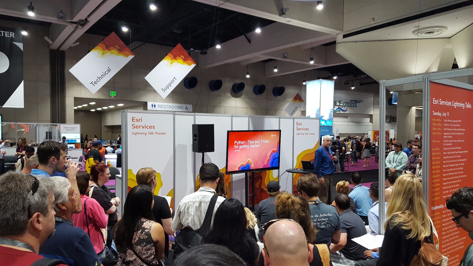
(allegedly all these talks from Esri Services can be found here: Learn–Plan–Configure–Use: ArcGIS Platform Enablement but I am not seeing them)
Planet Labs had non-stop traffic at their booth

PLW Model Works showed off some cool virtual reality business (and was a huge hit during the family fair):

Another standing room only talk for configuring story maps:

Owen Evans did a great job showing us where to obtain additional snippets of code to make our story maps more effective

I caught a sneak of Rupert Essinger talking to a group of people in the Story Maps section

Another huge long line at Active G for t-shirt printing!
A talk from Margaret Maher on lining up CAD data in GIS. Do not miss the chance to get to speak with Margaret; she knows everything!

SAP had a huge long line for some glass mugs and beer!

Family Night at the Exhibit Hall!
You can't miss Cityworks's beach balls!
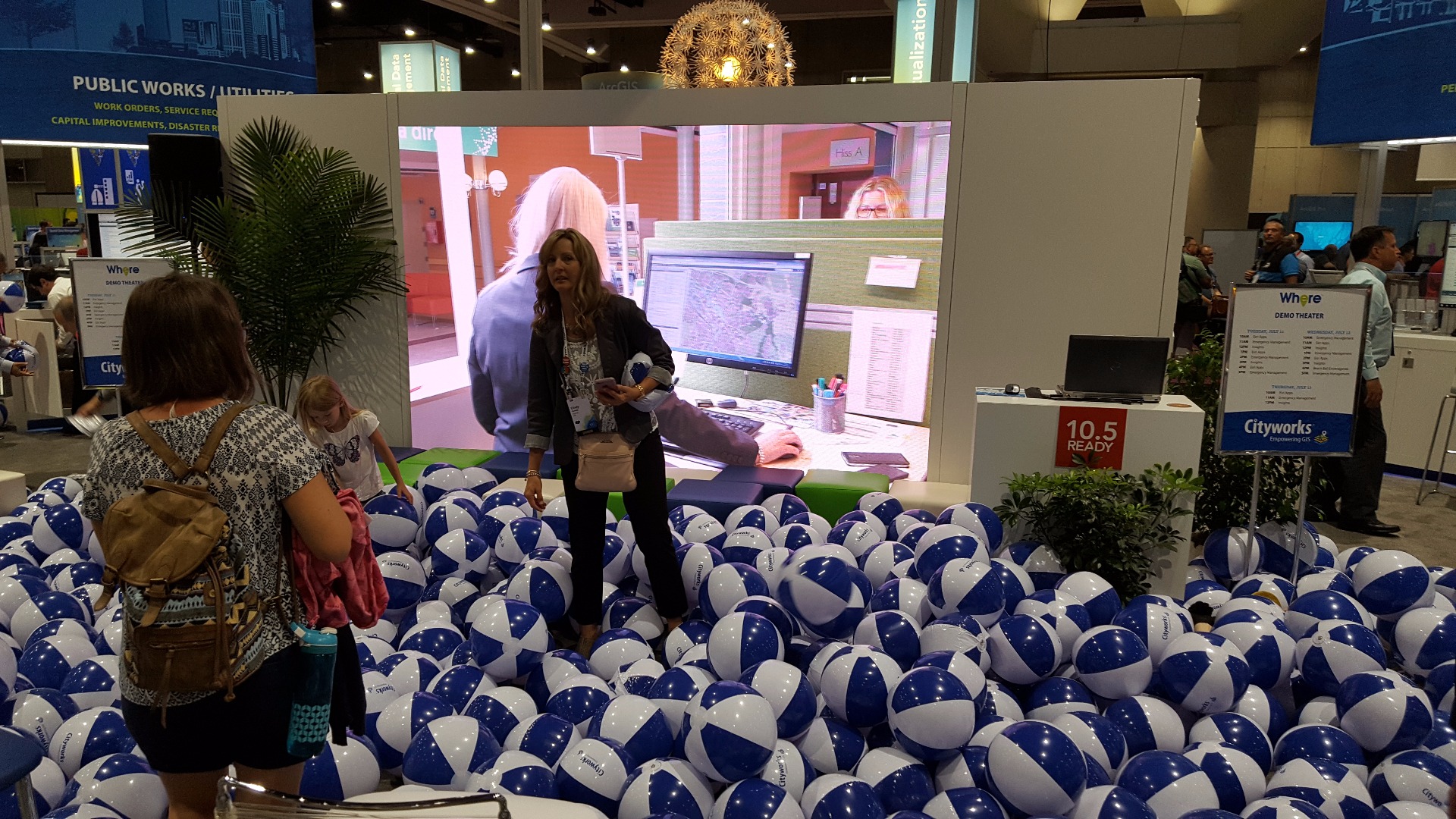
I found a couple of kids who were happy to get some beach balls (finally, we get to the "six-year-old" part of this non-sense)


They got easily distracted with a LEGO movie on:

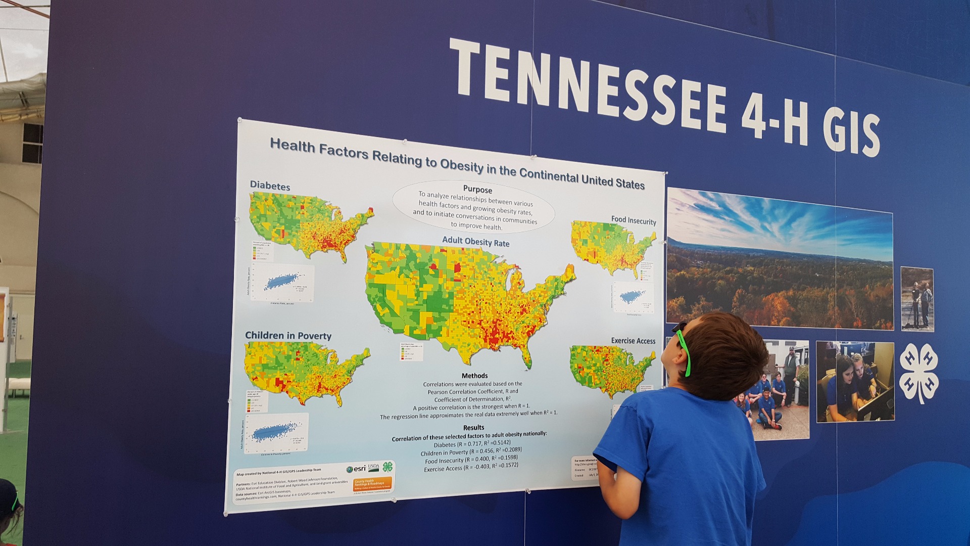
But then they had to check out the map gallery:
Tomorrow is the Balboa Park party. My wife saw my son looking at the Balboa Park pamphlet that I picked up at the UC and asked the eight-year-old:
wife: Do you want to go to the Balboa Park thing like we did last year? (thinking he might not find it interesting)
8yo: {looking incredulous} Why would I not want to go to that party? I love that place and the museums are fun!
So, I guess that means we're going for sure! See you there!
Quick highlights of some of day four:
So, this was extremely delayed due to being overly busy. It's hard to keep up with this for this many days in a row!
My morning was off to a good start when I got to take a selfie with this guy!
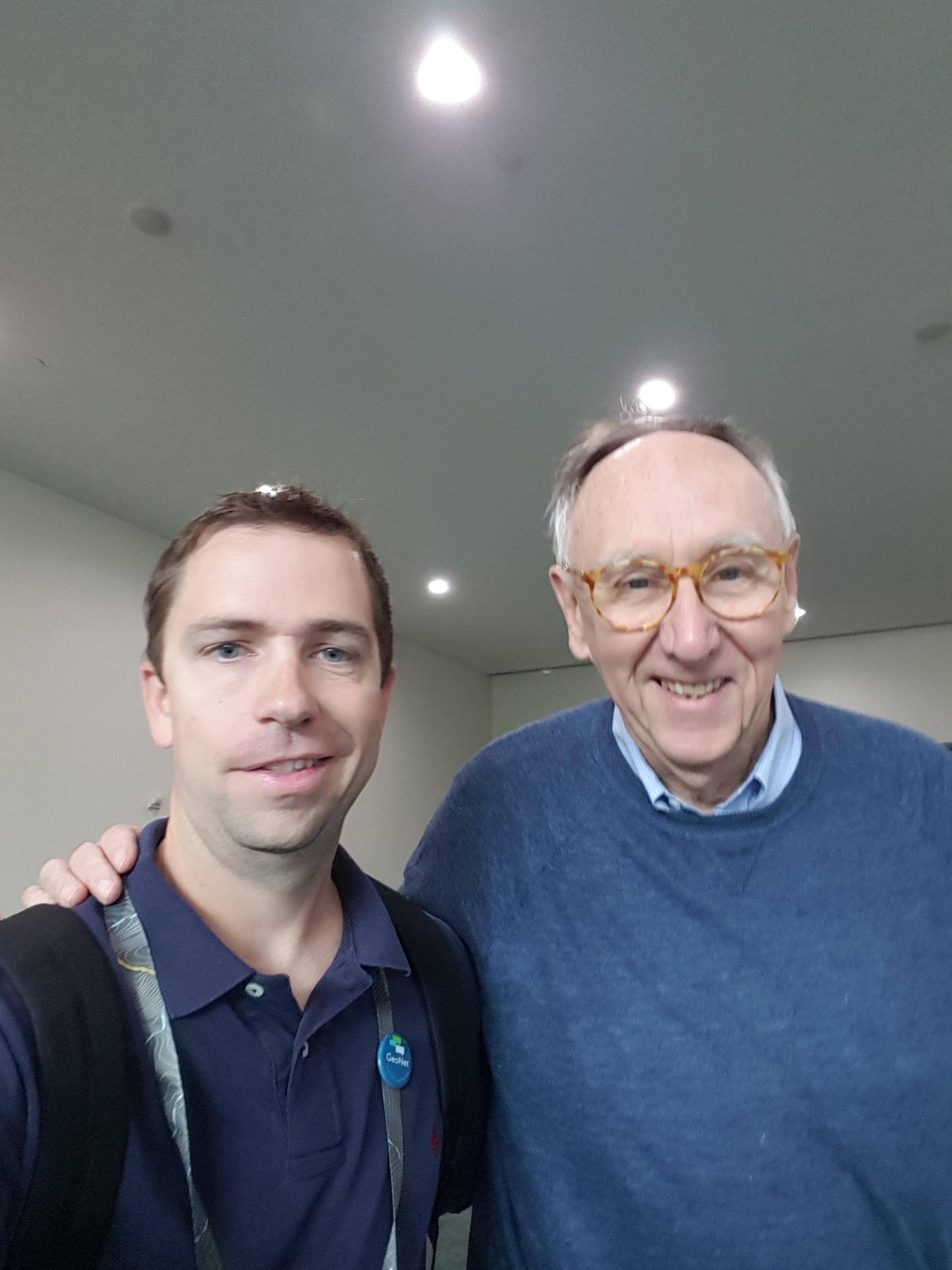
Let me tell ya, it is hard to walk, smile, stay coordinated with busy Jack, AND take a selfie all at the same time. Jack Dangermond is a busy guy but it was cool getting to chat with him for a few seconds!
The line for wristbands for the Balboa Park party was pretty long, but it went pretty fast (this was in the morning before the classes started. I am not sure how long they were later in the day):

I had to go see the talk on Coordinate Reference Systems and Datum Transformations presented by Brittney White, though mainly I wanted to get a chance to meet THE Melita Kennedy!
Thanks to Curtis Price, we were able to bombard Melita with a silly selfie!

I was able to experience the food trucks outside the Hilton for the first time. If you get there by around 11:15, there really isn't a long line:

But after that, it's a bit of a wait! Great food though.
Next up, party at Balboa: .....Though this had to be moved to a different blog post simply because I have too many images in this one. My max is 30, unfortunately (though, it makes sense.... I wish GeoNet would tell me when I hit that max earlier on versus when it comes time to post the blog).
New blog post for Balboa Park:
/blogs/AdrianWelsh/2017/07/17/2017-esri-user-conference-quick-thoughts-continued-balboa-park
That's about it for my updates. The best place for finding Friday info would be Twitter:
Esri User Conference (@EsriUC) | Twitter
You have to check out the Friday wrap up by Christopher Catania which has links to each day's blog post for the conference:
I hope y'all enjoyed this and thanks for reading!
You must be a registered user to add a comment. If you've already registered, sign in. Otherwise, register and sign in.