Turn on suggestions
Auto-suggest helps you quickly narrow down your search results by suggesting possible matches as you type.
Cancel
- Home
- :
- All Communities
- :
- Products
- :
- Geoprocessing
- :
- Geoprocessing Questions
- :
- Re: Need very urgent help with LS Factor(USLE)Calc...
Options
- Subscribe to RSS Feed
- Mark Topic as New
- Mark Topic as Read
- Float this Topic for Current User
- Bookmark
- Subscribe
- Mute
- Printer Friendly Page
Need very urgent help with LS Factor(USLE)Calculation in ArcGis10 (get strange result
Subscribe
11647
10
08-12-2012 09:44 AM
08-12-2012
09:44 AM
- Mark as New
- Bookmark
- Subscribe
- Mute
- Subscribe to RSS Feed
- Permalink
- Report Inappropriate Content
I wanted to calculate the LS Factor of the USLE (Universal Soil Loss Equation) with the tool Raster Calculator in ArcGis 10.
First, I filled my DEM with the tool Fill. (DEM was calculated in UTM)
Second, I calculated the Flow Direction with the Tool Flow Direction.
Third, I calculated the Flow Accumulation with my Flow Direction as Inputfile. [ATTACH=CONFIG]16862[/ATTACH]
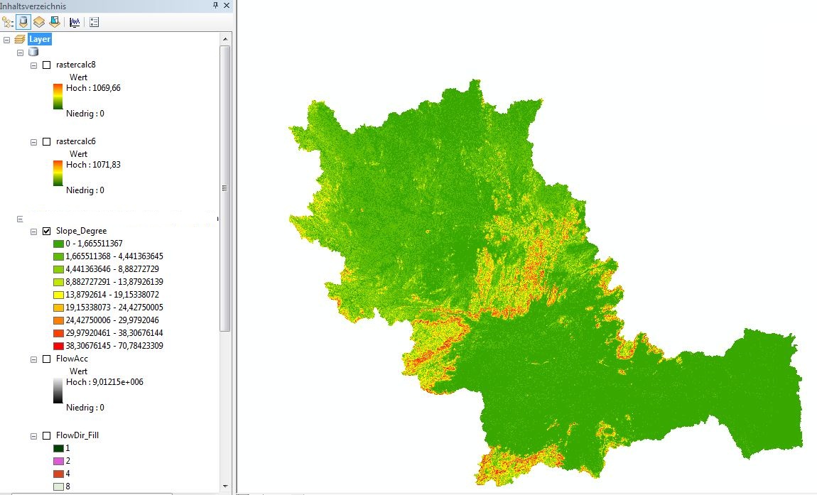
Fourth, I calculated the Slope in Degrees by the Spatial Analyst tool Surface and Slope. [ATTACH=CONFIG]16863[/ATTACH]
Fifthly, I used the Equation by Moore and Burch 1986: LS = (Flow Accumulation * Cell Size/22.13)^0.4 * (sin (slope/0.0896))^1.3
Sixthly: I typed in the raster calculator the equation:
(Power((("FlowAcc" * 92.46745509) / 22.13),0.4)) * (Power((Sin("Slope_Degree" / 0.0896)),1.3))
But my result look very very strange! There a lot of white areas! The Raster is not like cover areas.... It looks like that every calculated value is seperated... It looks like a dotted map....What did I wrong?? Did I forget something?? I can`t believe that this is right??!! [ATTACH=CONFIG]16864[/ATTACH]
First, I filled my DEM with the tool Fill. (DEM was calculated in UTM)
Second, I calculated the Flow Direction with the Tool Flow Direction.
Third, I calculated the Flow Accumulation with my Flow Direction as Inputfile. [ATTACH=CONFIG]16862[/ATTACH]
Fourth, I calculated the Slope in Degrees by the Spatial Analyst tool Surface and Slope. [ATTACH=CONFIG]16863[/ATTACH]
Fifthly, I used the Equation by Moore and Burch 1986: LS = (Flow Accumulation * Cell Size/22.13)^0.4 * (sin (slope/0.0896))^1.3
Sixthly: I typed in the raster calculator the equation:
(Power((("FlowAcc" * 92.46745509) / 22.13),0.4)) * (Power((Sin("Slope_Degree" / 0.0896)),1.3))
But my result look very very strange! There a lot of white areas! The Raster is not like cover areas.... It looks like that every calculated value is seperated... It looks like a dotted map....What did I wrong?? Did I forget something?? I can`t believe that this is right??!! [ATTACH=CONFIG]16864[/ATTACH]
10 Replies
02-03-2021
11:25 PM
- Mark as New
- Bookmark
- Subscribe
- Mute
- Subscribe to RSS Feed
- Permalink
- Report Inappropriate Content
Hey @JuliaHauczinger ,
Your formula is correct. Just use the slope in radians (i.e., multiply the slope(in degrees) with 3.14/180 ).
Then you will be getting the correct result.
Thank You
- « Previous
-
- 1
- 2
- Next »
- « Previous
-
- 1
- 2
- Next »