- Home
- :
- All Communities
- :
- Products
- :
- Geoprocessing
- :
- Geoprocessing Questions
- :
- Re: How can I see my raster?
- Subscribe to RSS Feed
- Mark Topic as New
- Mark Topic as Read
- Float this Topic for Current User
- Bookmark
- Subscribe
- Mute
- Printer Friendly Page
- Mark as New
- Bookmark
- Subscribe
- Mute
- Subscribe to RSS Feed
- Permalink
- Report Inappropriate Content
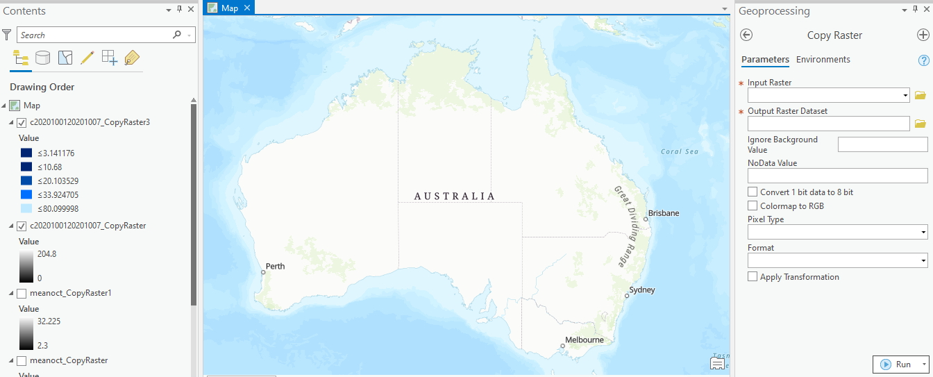
I am fairly new to ArcGIS Pro so apologies if this is a very basic question. I am trying to import a map from an ascii file using the Copy Raster function. I have carried out the operation on several files, and it seems to show that the new rasters are there in the contents pane on the left. I can change symbology etc. but I can't see it on my map? What do I do next please?
Solved! Go to Solution.
- Mark as New
- Bookmark
- Subscribe
- Mute
- Subscribe to RSS Feed
- Permalink
- Report Inappropriate Content
OK, many thanks Dan. I'll have a go at that. Much appreciated.
- Mark as New
- Bookmark
- Subscribe
- Mute
- Subscribe to RSS Feed
- Permalink
- Report Inappropriate Content
Hi Cathy - just had a go with some Rainfall ASCII files - and, in the Define Projection tool, used GDA 94 as per their website - and that seems to have worked beautifully i,e. GCS_GDA_1994.
- Mark as New
- Bookmark
- Subscribe
- Mute
- Subscribe to RSS Feed
- Permalink
- Report Inappropriate Content
Thanks Mary, I haven't had a chance to get back to it yet, but will have another go. It is good to know that you have been able to make it work.
- Mark as New
- Bookmark
- Subscribe
- Mute
- Subscribe to RSS Feed
- Permalink
- Report Inappropriate Content
Thanks Mary. I was trying to use a "Projected Co-ordinate system", but now that you suggested the Geographic Co-ordinate System, all is well. Thank you.
- Mark as New
- Bookmark
- Subscribe
- Mute
- Subscribe to RSS Feed
- Permalink
- Report Inappropriate Content
No problem at all!
- Mark as New
- Bookmark
- Subscribe
- Mute
- Subscribe to RSS Feed
- Permalink
- Report Inappropriate Content
Hey Cathy, I'm doing the exact same subject as you and attempted to follow along all the steps, but couldnt get anywhere, Can you please help me if you were able to find how to project the raster over Australia
Thanks
- « Previous
-
- 1
- 2
- Next »
- « Previous
-
- 1
- 2
- Next »