- Home
- :
- All Communities
- :
- Products
- :
- Geoprocessing
- :
- Geoprocessing Questions
- :
- Export of a Network (Adjacency) Matrix
- Subscribe to RSS Feed
- Mark Topic as New
- Mark Topic as Read
- Float this Topic for Current User
- Bookmark
- Subscribe
- Mute
- Printer Friendly Page
Export of a Network (Adjacency) Matrix
- Mark as New
- Bookmark
- Subscribe
- Mute
- Subscribe to RSS Feed
- Permalink
Hi,
thank you in advance for reading or even helping me out.
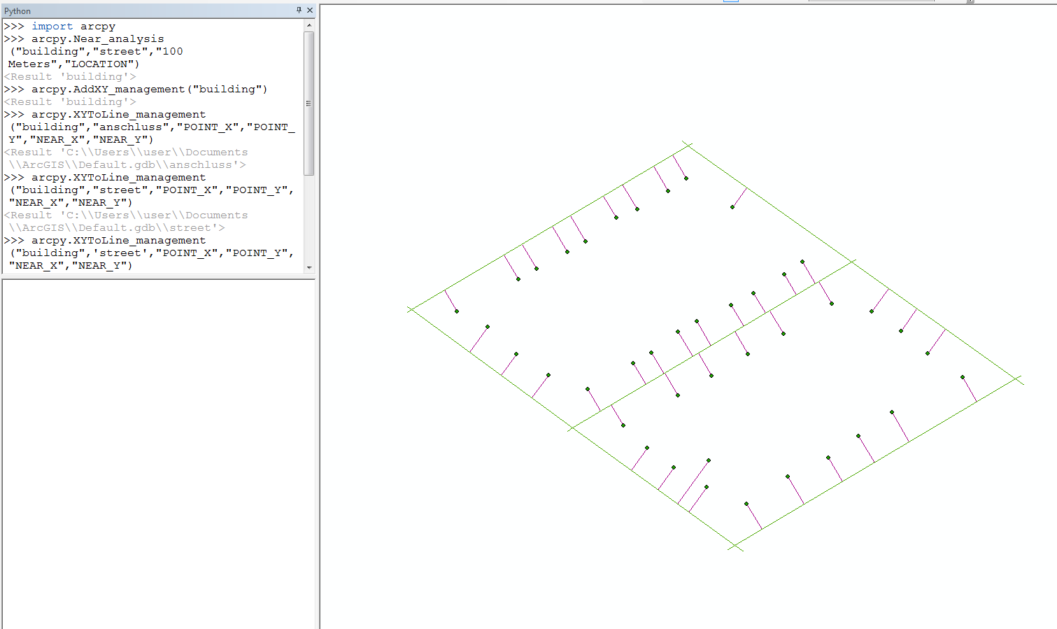
For a student project, I want to get a matrix which tells me, which points are connected to each other within a network.
It is my very first work with GIS. I have some experience with programming.
I read some articles concerning similar topics and learned that this kind of export is usually not needed because ArcGIS uses those information internally.
The data I use is an OSM Download. I got one layer with the street layout and one with the centroids of the buildings alongside the road. With the OSM tools I am able to build a network from the streets.
1) Is it possible to "connect" the building points with the lines I created with a near_Analayis and XYToLine_management to the street layer?
2) How can I export a Matrix (.csv file or similar) that shows me, which buildings are connected to which other buildings? Ideally in a adjascent / spares Matrix
I would love to hear your feedback and can provide further information if needed.
Thanks
- I used the OpenStreetMap Toolbox to import the .osm files
- I can create a Network for the Network Analyst with the same Toolbox
- It's also possible to create a geometric network with this data